
| Memorials | : | 0 |
| Location | : | Bakhuizen, De Fryske Marren Municipality, Netherlands |
| Coordinate | : | 52.8692200, 5.4557500 |
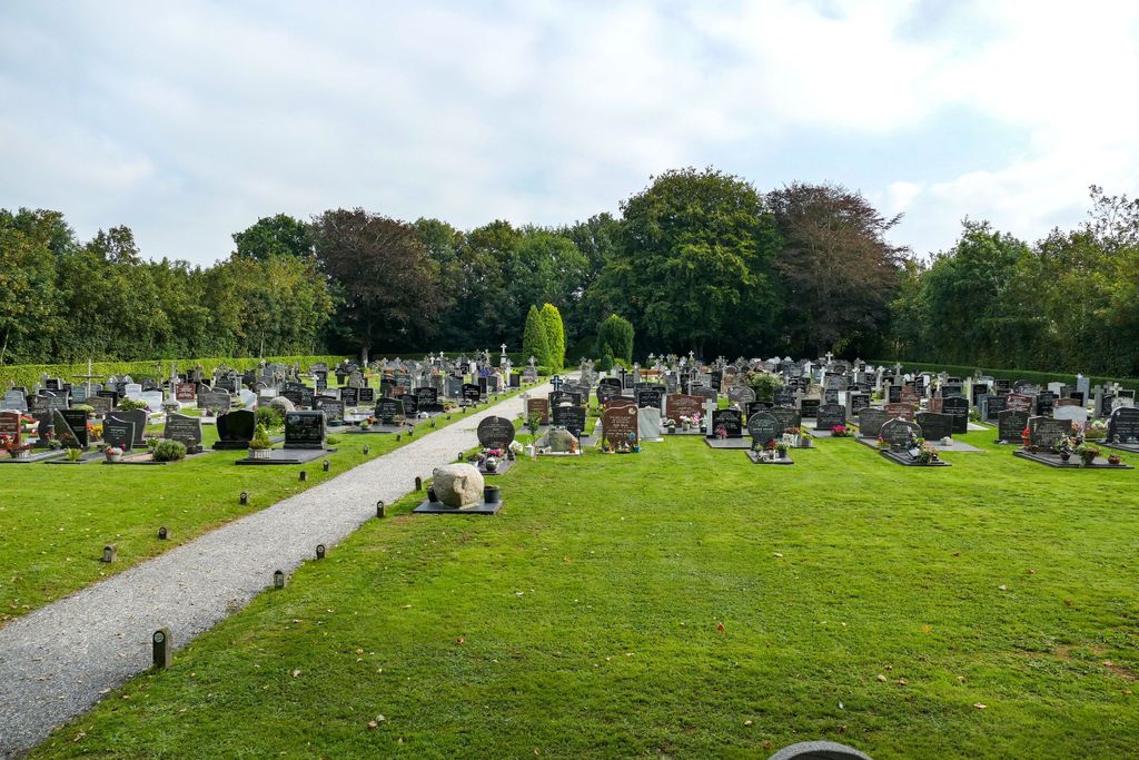
| Description | : | Gaasterland is the administrative title of a commune, having headquarters in the Town Hall at Balk, which controls that village and eight others. Bakhuizen is a village in this commune, and is on the southern Friesland coast. It lies 10 kilometres east-south-east of Staveren and 30 kilometres west of Lemmer. The cemetery is about 150 yards to the rear of the Roman Catholic Church, which is in the south-western part of the village. |
frequently asked questions (FAQ):
-
Where is Bakhuizen Roman Catholic Cemetery?
Bakhuizen Roman Catholic Cemetery is located at Bakhuizen, De Fryske Marren Municipality ,Friesland ,Netherlands.
-
Bakhuizen Roman Catholic Cemetery cemetery's updated grave count on graveviews.com?
0 memorials
-
Where are the coordinates of the Bakhuizen Roman Catholic Cemetery?
Latitude: 52.8692200
Longitude: 5.4557500
Nearby Cemetories:
1. Scharl General Cemetery
Skarl, Sudwest Fryslan Municipality, Netherlands
Coordinate: 52.8672300, 5.3909200
2. Koudum General Cemetery
Koudum, Sudwest Fryslan Municipality, Netherlands
Coordinate: 52.9114400, 5.4456200
3. Molkwerum Protestant Churchyard
Molkwerum, Sudwest Fryslan Municipality, Netherlands
Coordinate: 52.9001600, 5.3992000
4. Kerkhof Oudemirdum
Oudemirdum, De Fryske Marren Municipality, Netherlands
Coordinate: 52.8498364, 5.5332713
5. Staveren General Cemetery
Stavoren, Sudwest Fryslan Municipality, Netherlands
Coordinate: 52.8820900, 5.3600500
6. Nijemirdum General Cemetery
Nijemirdum, De Fryske Marren Municipality, Netherlands
Coordinate: 52.8557700, 5.5669600
7. Natuurbegraafplaats Bremer Wildernis
Sondel, De Fryske Marren Municipality, Netherlands
Coordinate: 52.8714341, 5.5754786
8. Hindeloopen Protestant Churchyard
Hindeloopen, Sudwest Fryslan Municipality, Netherlands
Coordinate: 52.9429100, 5.3984900
9. Joodse Begraafplaats
Workum, Sudwest Fryslan Municipality, Netherlands
Coordinate: 52.9720900, 5.4353100
10. Kerkhof NH Vaste Burchtker
Wijckel, De Fryske Marren Municipality, Netherlands
Coordinate: 52.8889630, 5.6246630
11. Workum Spoordyk General Cemetery
Workum, Sudwest Fryslan Municipality, Netherlands
Coordinate: 52.9749667, 5.4484889
12. Workum Kerk
Workum, Sudwest Fryslan Municipality, Netherlands
Coordinate: 52.9789700, 5.4432000
13. Ijpecolsga General Cemetery
IJpecolsga, Sudwest Fryslan Municipality, Netherlands
Coordinate: 52.9344500, 5.6072800
14. Joodse Begraafplaats Tacozijl
Lemmer, De Fryske Marren Municipality, Netherlands
Coordinate: 52.8630740, 5.6452610
15. Idzega Klokkenstoel
Idzega, Sudwest Fryslan Municipality, Netherlands
Coordinate: 52.9775587, 5.5581642
16. Hieslum Protestant Churchyard
Hieslum, Sudwest Fryslan Municipality, Netherlands
Coordinate: 53.0085400, 5.4884800
17. Lemmer General Cemetery
Lemmer, De Fryske Marren Municipality, Netherlands
Coordinate: 52.8479500, 5.7133100
18. Rooms-Katholiek Kerkhof St. Vituskerk
Blauwhuis, Sudwest Fryslan Municipality, Netherlands
Coordinate: 53.0228265, 5.5340636
19. Algemene bregraafplaats
Creil, Noordoostpolder Municipality, Netherlands
Coordinate: 52.7629574, 5.6640223
20. Idsegahuizum Kerkhof
Idsegahuizum, Sudwest Fryslan Municipality, Netherlands
Coordinate: 53.0433420, 5.4180270
21. Andijk Eastern General Cemetery
Andijk, Medemblik Municipality, Netherlands
Coordinate: 52.7451600, 5.2369700
22. Enkhuizen General Cemetery
Enkhuizen, Enkhuizen Municipality, Netherlands
Coordinate: 52.7089800, 5.2887500
23. Algemene Begraafplaats
Espel, Noordoostpolder Municipality, Netherlands
Coordinate: 52.7174188, 5.6432473
24. Makkum Protestant Churchyard
Makkum, Sudwest Fryslan Municipality, Netherlands
Coordinate: 53.0595500, 5.3997500