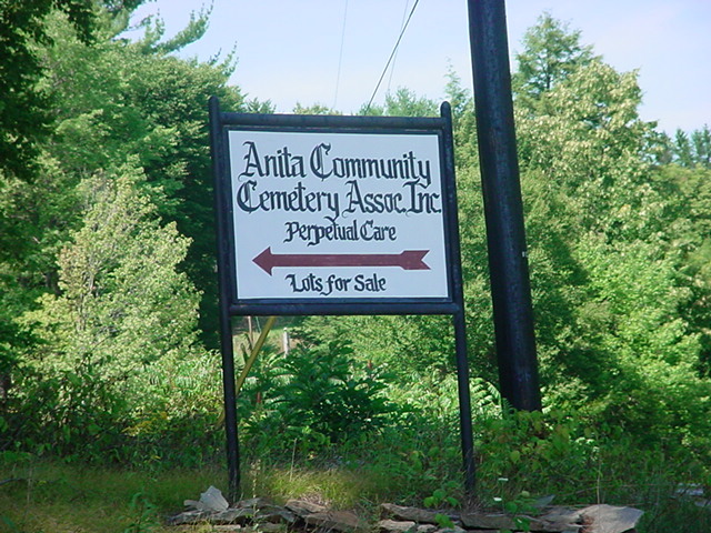
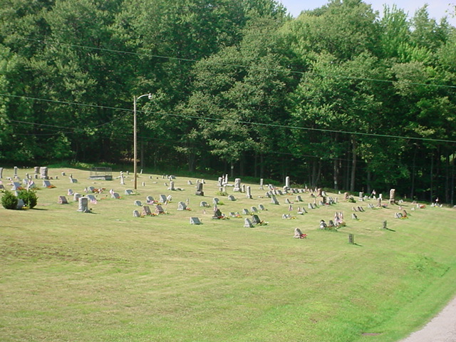
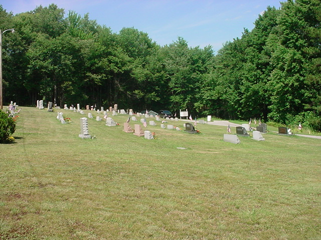
| Memorials | : | 1 |
| Location | : | Anita, Jefferson County, USA |
| Coordinate | : | 40.9932450, -78.9790390 |
| Description | : | ************************** Located off of SR 310 North,on Whitfield Drive,south of the Village of Anita.This cemetery is situated within both McCalmont and Young Townships, Jefferson county,Pennsylvania. A full photo survey was completed in 2008. ************************** |
frequently asked questions (FAQ):
-
Where is Anita Community Cemetery?
Anita Community Cemetery is located at Anita, Jefferson County ,Pennsylvania ,USA.
-
Anita Community Cemetery cemetery's updated grave count on graveviews.com?
1 memorials
-
Where are the coordinates of the Anita Community Cemetery?
Latitude: 40.9932450
Longitude: -78.9790390
Nearby Cemetories:
1. Adrian-Anita Roman Catholic Cemetery
Anita, Jefferson County, USA
Coordinate: 40.9958000, -78.9805984
2. Anita Cemetery
Anita, Jefferson County, USA
Coordinate: 40.9972500, -78.9770700
3. Mount Tabor United Methodist Church Cemetery
Battle Hollow, Jefferson County, USA
Coordinate: 41.0030000, -78.9970000
4. Saints Peter and Paul Byzantine Cemetery
Punxsutawney, Jefferson County, USA
Coordinate: 40.9750000, -78.9706000
5. Olive Cemetery
Oliveburg, Jefferson County, USA
Coordinate: 40.9940000, -79.0270000
6. Zion Presbyterian Cemetery
Panic, Jefferson County, USA
Coordinate: 41.0244300, -78.9530800
7. Ridgemount Cemetery
Punxsutawney, Jefferson County, USA
Coordinate: 40.9719009, -78.9317017
8. Mount Zion Memorial Cemetery
Jefferson County, USA
Coordinate: 40.9794000, -78.9254000
9. Saint Peters Reformed Cemetery
Punxsutawney, Jefferson County, USA
Coordinate: 40.9515150, -78.9616910
10. Pifer Cemetery
Jefferson County, USA
Coordinate: 41.0068000, -78.9210000
11. United Brethren Cemetery
Panic, Jefferson County, USA
Coordinate: 41.0362816, -78.9549637
12. Clayville Cemetery
Punxsutawney, Jefferson County, USA
Coordinate: 40.9470000, -78.9880000
13. North Findley Street Cemetery
Punxsutawney, Jefferson County, USA
Coordinate: 40.9466000, -78.9724000
14. Circle Hill Cemetery
Punxsutawney, Jefferson County, USA
Coordinate: 40.9486008, -78.9496994
15. Hopewell United Methodist Church Cemetery
Frostburg, Jefferson County, USA
Coordinate: 40.9620000, -79.0393000
16. Calvary Cemetery
Punxsutawney, Jefferson County, USA
Coordinate: 40.9358215, -78.9930725
17. Horatio Cemetery
Punxsutawney, Jefferson County, USA
Coordinate: 40.9392000, -79.0133000
18. Markton Cemetery
Markton, Jefferson County, USA
Coordinate: 41.0101000, -79.0605000
19. Burkett Hollow Cemetery
Markton, Jefferson County, USA
Coordinate: 41.0175000, -79.0575000
20. Saints Peter And Paul Byzantine Catholic Cemetery
Horatio, Jefferson County, USA
Coordinate: 40.9324989, -79.0180969
21. Oak Lawn Cemetery
Cloe, Jefferson County, USA
Coordinate: 40.9300003, -78.9356003
22. Cherva Agudath Achuin Hebrew Cemetery
Cloe, Jefferson County, USA
Coordinate: 40.9293210, -78.9359090
23. Perry Memorial Cemetery
Frostburg, Jefferson County, USA
Coordinate: 40.9599991, -79.0635986
24. Desire Cemetery
Desire, Jefferson County, USA
Coordinate: 41.0287000, -78.8850000


