
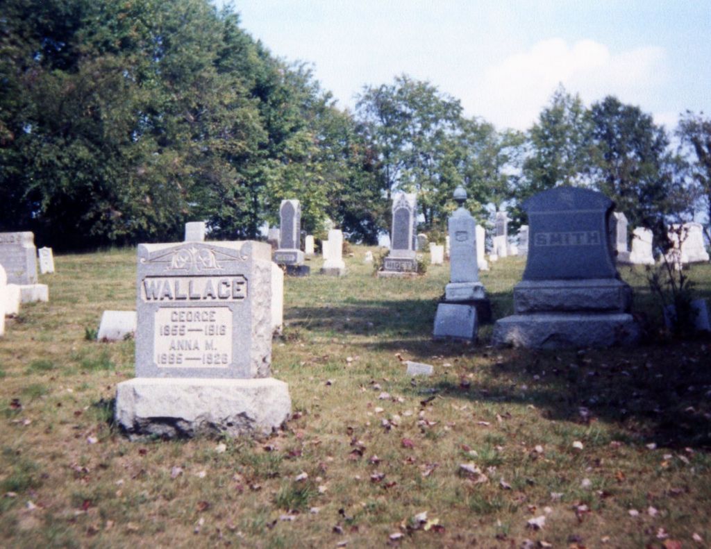
| Memorials | : | 61 |
| Location | : | Perrysville, Carroll County, USA |
| Coordinate | : | 40.4803009, -81.0678024 |
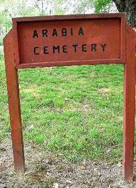
| Description | : | The cemetery is located on the east side of Saint Road (Township Road 487) about 0.1 miles north of its intersection with Aster Road. The cemetery is located in Perry Township, Carroll County, Ohio, and is # 1454 (Arabia Cemetery / Arabian Cemetery) in “Ohio Cemeteries 1803-2003”, compiled by the Ohio Genealogical Society. The U.S. Geological Survey (USGS) Geographic Names Information System (GNIS) feature ID for the cemetery is 1060827 (Arabia Cemetery / Arabian Cemetery / Arabin Cemetery). |
frequently asked questions (FAQ):
-
Where is Arabia Cemetery?
Arabia Cemetery is located at Saint Road (Township Road 487) Perrysville, Carroll County ,Ohio , 43988USA.
-
Arabia Cemetery cemetery's updated grave count on graveviews.com?
59 memorials
-
Where are the coordinates of the Arabia Cemetery?
Latitude: 40.4803009
Longitude: -81.0678024
Nearby Cemetories:
1. Perrysville Methodist Episcopal Church Cemetery
Perrysville, Carroll County, USA
Coordinate: 40.4655991, -81.0982971
2. Perrysville United Methodist Cemetery
Perrysville, Carroll County, USA
Coordinate: 40.4625510, -81.0973610
3. New Perrysville Cemetery
Perrysville, Carroll County, USA
Coordinate: 40.4569016, -81.1016998
4. Hagey Family Cemetery
Perrysville, Carroll County, USA
Coordinate: 40.4525980, -81.0996160
5. Allen Memorial Cemetery
Carroll County, USA
Coordinate: 40.4364014, -81.0511017
6. Abel Cemetery
Carroll County, USA
Coordinate: 40.4578018, -81.0113983
7. Mount Pleasant Cemetery
Carrollton, Carroll County, USA
Coordinate: 40.5238991, -81.1003036
8. Kilgore Cemetery
Kilgore, Carroll County, USA
Coordinate: 40.4632988, -81.0014038
9. Kilgore Presbyterian Cemetery
Carroll County, USA
Coordinate: 40.4603004, -81.0002975
10. Green Hill Cemetery
Carroll County, USA
Coordinate: 40.5303001, -81.0246964
11. Wood Cemetery
Scio, Harrison County, USA
Coordinate: 40.4193500, -81.0707690
12. Mount Tabor Cemetery
Carroll County, USA
Coordinate: 40.4817009, -81.1483002
13. Mount Olive Cemetery
Carroll County, USA
Coordinate: 40.4488983, -81.1382980
14. Harlem Springs Cemetery
Harlem Springs, Carroll County, USA
Coordinate: 40.5219002, -81.0053024
15. Palermo Cemetery
Carroll County, USA
Coordinate: 40.4894444, -81.1522220
16. Lee Cemetery
Carroll County, USA
Coordinate: 40.5391998, -81.0314026
17. Simmons Cemetery
Carroll County, USA
Coordinate: 40.4622002, -80.9783020
18. Denver George Haddock Family Cemetery
Carrollton, Carroll County, USA
Coordinate: 40.5443880, -81.0227370
19. Seceders Cemetery
Carroll County, USA
Coordinate: 40.5332985, -81.1446991
20. United Brethren Cemetery
Harrison County, USA
Coordinate: 40.4043999, -81.0353012
21. Simmons Ridge Cemetery
Carroll County, USA
Coordinate: 40.4757996, -80.9621964
22. Moorehead Cemetery
Carroll County, USA
Coordinate: 40.5449982, -81.0033035
23. New Rumley Methodist Cemetery
New Rumley, Harrison County, USA
Coordinate: 40.4028015, -81.0346985
24. Evangelical Lutheran Cemetery
New Rumley, Harrison County, USA
Coordinate: 40.4019012, -81.0271988