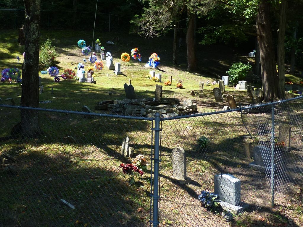
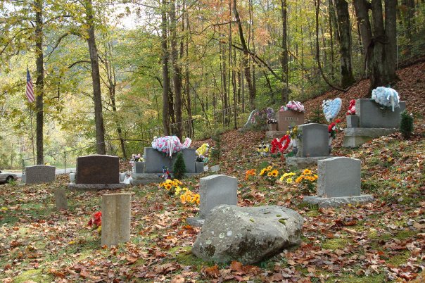
| Memorials | : | 5 |
| Location | : | Queendale, Clay County, USA |
| Coordinate | : | 37.0041000, -83.5277000 |
| Description | : | From Goose Rock Elementary, take 2000 to 66 and turn right, go 8.2 miles, cemetery is on left after passing Red Bird Hospital. Located at the junction of KY-66 and KY-1850. |
frequently asked questions (FAQ):
-
Where is Asher Cemetery?
Asher Cemetery is located at Queendale, Clay County ,Kentucky ,USA.
-
Asher Cemetery cemetery's updated grave count on graveviews.com?
5 memorials
-
Where are the coordinates of the Asher Cemetery?
Latitude: 37.0041000
Longitude: -83.5277000
Nearby Cemetories:
1. Dillion Asher Cemetery
Queendale, Clay County, USA
Coordinate: 37.0080240, -83.5270360
2. Asher Cemetery
Queendale, Clay County, USA
Coordinate: 37.0156800, -83.5262400
3. Upper Jack's Creek Roark Family Cemetery
Roark, Leslie County, USA
Coordinate: 37.0235240, -83.5184100
4. Asher Cemetery
Leslie County, USA
Coordinate: 37.0370010, -83.5391040
5. Collett Cemetery
Essie, Leslie County, USA
Coordinate: 37.0295972, -83.4831472
6. Oakley Cave Cemetery
Roark, Leslie County, USA
Coordinate: 37.0142800, -83.4723200
7. Reynolds Cemetery
Clay County, USA
Coordinate: 37.0510000, -83.5103200
8. Smith Family Cemetery
Ashers Fork, Clay County, USA
Coordinate: 37.0067500, -83.5902220
9. Bowens Creek Cemetery
Essie, Leslie County, USA
Coordinate: 37.0432281, -83.4800292
10. Darbys Branch Cemetery #2
Brightshade, Clay County, USA
Coordinate: 36.9655200, -83.5873000
11. Simpson-Fee Family Cemetery
Warbranch, Leslie County, USA
Coordinate: 36.9721792, -83.4612892
12. Delph Cemetery
Spring Creek, Clay County, USA
Coordinate: 37.0299500, -83.6018600
13. Indian Grave Branch Cemetery
Brightshade, Clay County, USA
Coordinate: 36.9869200, -83.6068200
14. Asher Cemetery
Brightshade, Clay County, USA
Coordinate: 36.9651700, -83.5938100
15. Asher Cemetery #1
Beverly, Bell County, USA
Coordinate: 36.9374350, -83.5441110
16. Asher Cemetery #4
Bell County, USA
Coordinate: 36.9371986, -83.5430984
17. Stewart Cemetery
Clay County, USA
Coordinate: 37.0632580, -83.5715500
18. Rye Cove Cemetery
Warbranch, Leslie County, USA
Coordinate: 36.9709130, -83.4518710
19. Lewis Family Cemetery
Ashers Fork, Clay County, USA
Coordinate: 37.0114160, -83.6161130
20. Halls Rest Haven Cemetery
Leslie County, USA
Coordinate: 37.0024986, -83.4383011
21. Darbys Branch Cemetery #1
Brightshade, Clay County, USA
Coordinate: 36.9627600, -83.6077900
22. Caldwell Family Cemetery
Warbranch, Leslie County, USA
Coordinate: 36.9675400, -83.4433000
23. Sizemore-Gilbert Cemetery
Leslie County, USA
Coordinate: 37.0807500, -83.5507900
24. Hoskins Memorial Cemetery
Asher, Leslie County, USA
Coordinate: 37.0391360, -83.4383150


