
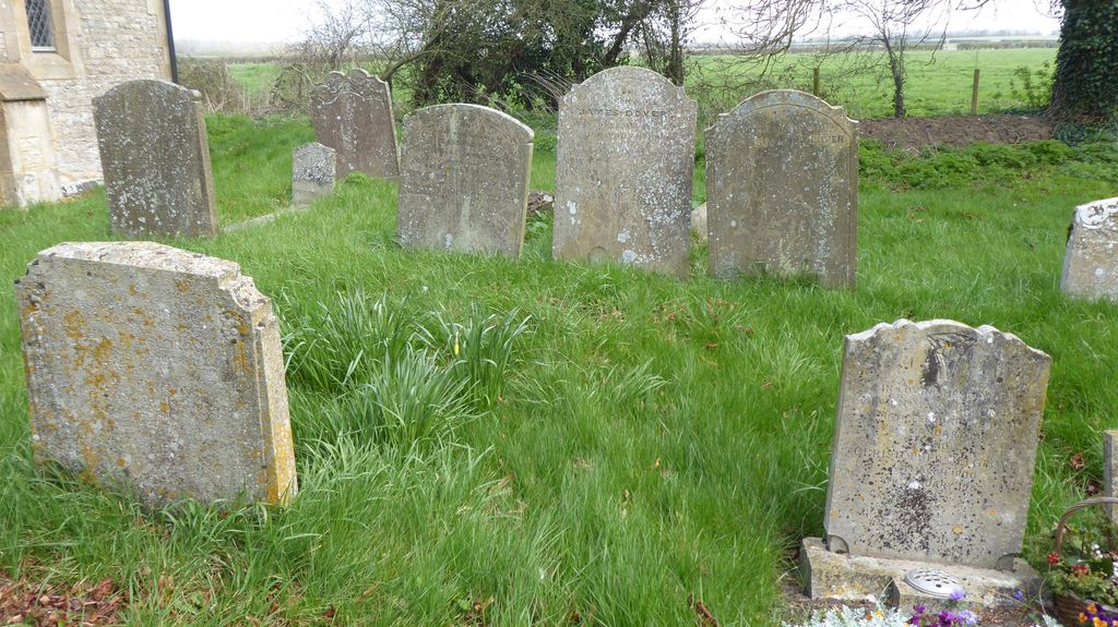
| Memorials | : | 0 |
| Location | : | Aston Sandford, Aylesbury Vale District, England |
| Coordinate | : | 51.7651962, -0.9024482 |
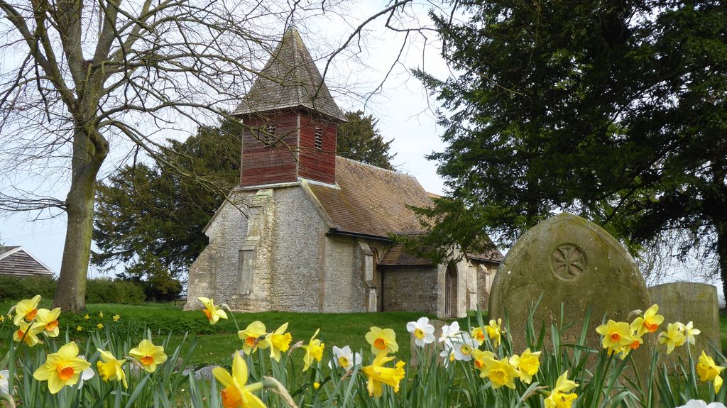
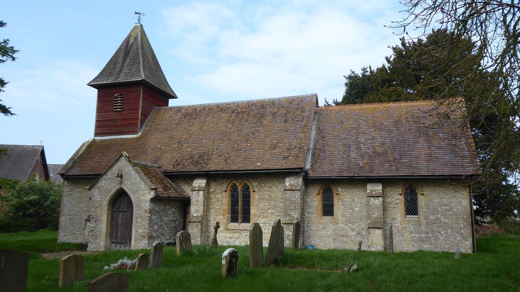
| Description | : | The Church of England parish church of Saint Michael and All Angels is one of the smallest in England. The nave is probably 12th century and the chancel is probably 13th century. The chancel arch is also 13th century. The northeast window and blocked north doorway are probably 14th century and a buttress on the west wall is probably 15th century. However, the building was so extensively restored and reworked in 1878 that it is difficult to date any of its features with certainty. |
frequently asked questions (FAQ):
-
Where is Aston Sandford St Michael and all Angels?
Aston Sandford St Michael and all Angels is located at Aston Sandford, Aylesbury Vale District ,Buckinghamshire ,England.
-
Aston Sandford St Michael and all Angels cemetery's updated grave count on graveviews.com?
0 memorials
-
Where are the coordinates of the Aston Sandford St Michael and all Angels?
Latitude: 51.7651962
Longitude: -0.9024482
Nearby Cemetories:
1. St. Mary the Virgin Churchyard
Haddenham, Aylesbury Vale District, England
Coordinate: 51.7658180, -0.9266980
2. Haddenham Baptist Church Graveyard
Haddenham, Aylesbury Vale District, England
Coordinate: 51.7706830, -0.9274900
3. White Friar's Church
Oxford, City of Oxford, England
Coordinate: 51.7710000, -0.9288600
4. St Nicholas Churchyard
Kingsey, Aylesbury Vale District, England
Coordinate: 51.7545190, -0.9246110
5. St. Peter's Churchyard
Ilmer, Wycombe District, England
Coordinate: 51.7428914, -0.8873946
6. Saint Peter and Saint Paul Churchyard
Dinton, Aylesbury Vale District, England
Coordinate: 51.7931690, -0.8901620
7. St. Catherine Churchyard
Towersey, South Oxfordshire District, England
Coordinate: 51.7411700, -0.9360300
8. St. Nicholas Churchyard
Cuddington, Aylesbury Vale District, England
Coordinate: 51.7944300, -0.9320400
9. St Nicholas Churchyard
Chearsley, Aylesbury Vale District, England
Coordinate: 51.7868900, -0.9571600
10. St. John the Baptist Churchyard
Stone, Aylesbury Vale District, England
Coordinate: 51.8034640, -0.8644200
11. St. Nicholas' Churchyard
Nether Winchendon, Aylesbury Vale District, England
Coordinate: 51.8041000, -0.9388000
12. Eythrope Road Cemetery
Stone, Aylesbury Vale District, England
Coordinate: 51.8068250, -0.8652493
13. Thame War Memorial
Thame, South Oxfordshire District, England
Coordinate: 51.7452570, -0.9743330
14. Saint Mary The Virgin Churchyard
Thame, South Oxfordshire District, England
Coordinate: 51.7511750, -0.9819190
15. St. Mary's Churchyard
Hartwell, Aylesbury Vale District, England
Coordinate: 51.8052662, -0.8484938
16. Thame Park Chapel
Thame, South Oxfordshire District, England
Coordinate: 51.7290130, -0.9650540
17. Holy Trinity New Churchyard
Bledlow, Wycombe District, England
Coordinate: 51.7136400, -0.8737800
18. St Mary the Virgin Churchyard
Long Crendon, Aylesbury Vale District, England
Coordinate: 51.7758380, -0.9890670
19. Holy Trinity Churchyard
Bledlow, Wycombe District, England
Coordinate: 51.7127780, -0.8745720
20. St. Michael's and All Angels Churchyard
Horsenden, Wycombe District, England
Coordinate: 51.7193800, -0.8527040
21. Baptist Chapel Burial Ground
Long Crendon, Aylesbury Vale District, England
Coordinate: 51.7730713, -0.9929426
22. St Dunstan Churchyard
Monks Risborough, Wycombe District, England
Coordinate: 51.7320710, -0.8253050
23. St Mary's Churchyard
Sydenham, South Oxfordshire District, England
Coordinate: 51.7112360, -0.9398460
24. St Mary Churchyard
Princes Risborough, Wycombe District, England
Coordinate: 51.7242980, -0.8340970