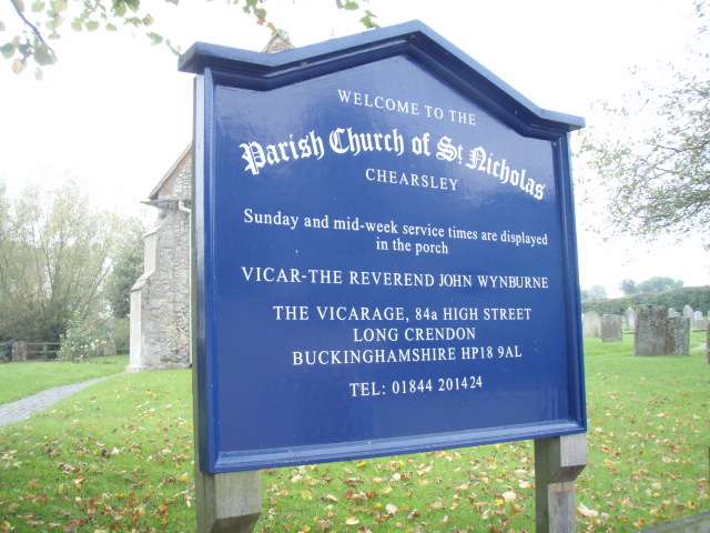
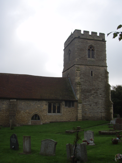
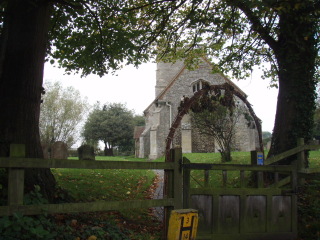
| Memorials | : | 0 |
| Location | : | Chearsley, Aylesbury Vale District, England |
| Coordinate | : | 51.7868900, -0.9571600 |
| Description | : | Chearsley is a village and civil parish within Aylesbury Vale district in Buckinghamshire, England. It is situated about seven miles south west of Aylesbury, and about four miles north of Thame, in Oxfordshire. The village name is Anglo Saxon in origin, and means 'Cerdic's clearing' or 'Cerdic's lea'. It was mentioned in the Domesday Book of 1086 as Cerdeslai. It has been suggested that the village is the place mentioned in the Anglo-Saxon Chronicle as Cerdicesleah, where King Cerdic and his son Cynric defeated the Britons in 527. The village was originally a hamlet in the nearby parish of Crendon, though was... Read More |
frequently asked questions (FAQ):
-
Where is St Nicholas Churchyard?
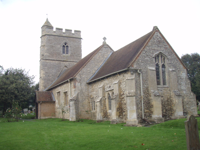
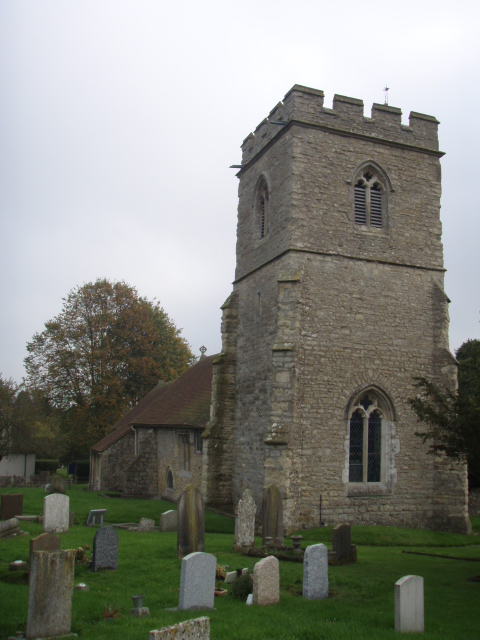
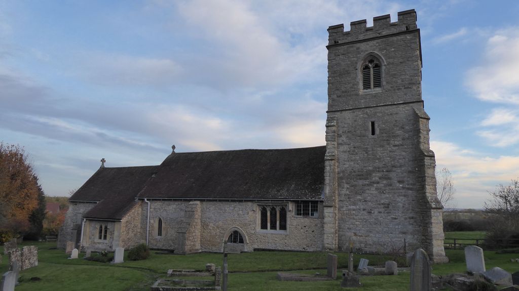
St Nicholas Churchyard is located at Chearsley, Aylesbury Vale District ,Buckinghamshire ,England.
-
St Nicholas Churchyard cemetery's updated grave count on graveviews.com?
0 memorials
-
Where are the coordinates of the St Nicholas Churchyard?
Latitude: 51.7868900
Longitude: -0.9571600
Nearby Cemetories:
1. St. Nicholas Churchyard
Cuddington, Aylesbury Vale District, England
Coordinate: 51.7944300, -0.9320400
2. St. Nicholas' Churchyard
Nether Winchendon, Aylesbury Vale District, England
Coordinate: 51.8041000, -0.9388000
3. St Mary the Virgin Churchyard
Long Crendon, Aylesbury Vale District, England
Coordinate: 51.7758380, -0.9890670
4. White Friar's Church
Oxford, City of Oxford, England
Coordinate: 51.7710000, -0.9288600
5. Haddenham Baptist Church Graveyard
Haddenham, Aylesbury Vale District, England
Coordinate: 51.7706830, -0.9274900
6. Baptist Chapel Burial Ground
Long Crendon, Aylesbury Vale District, England
Coordinate: 51.7730713, -0.9929426
7. St. Mary the Virgin Churchyard
Haddenham, Aylesbury Vale District, England
Coordinate: 51.7658180, -0.9266980
8. St. Mary's Churchyard
Chilton, Aylesbury Vale District, England
Coordinate: 51.7988760, -1.0055490
9. St Marys Churchyard
Ashendon, Aylesbury Vale District, England
Coordinate: 51.8221320, -0.9784380
10. St Nicholas Churchyard
Kingsey, Aylesbury Vale District, England
Coordinate: 51.7545190, -0.9246110
11. Saint Mary The Virgin Churchyard
Thame, South Oxfordshire District, England
Coordinate: 51.7511750, -0.9819190
12. Aston Sandford St Michael and all Angels
Aston Sandford, Aylesbury Vale District, England
Coordinate: 51.7651962, -0.9024482
13. Saint Peter and Saint Paul Churchyard
Dinton, Aylesbury Vale District, England
Coordinate: 51.7931690, -0.8901620
14. Thame War Memorial
Thame, South Oxfordshire District, England
Coordinate: 51.7452570, -0.9743330
15. St Mary Magdalene Churchyard
Upper Winchendon, Aylesbury Vale District, England
Coordinate: 51.8240620, -0.9192140
16. St. Catherine Churchyard
Towersey, South Oxfordshire District, England
Coordinate: 51.7411700, -0.9360300
17. St John the Baptist
Dorton, Aylesbury Vale District, England
Coordinate: 51.8198434, -1.0162377
18. Waddesdon Hill Strict Baptist Chapel Chapelyard
Waddesdon, Aylesbury Vale District, England
Coordinate: 51.8289880, -0.9083030
19. North Weston Chapel
Thame, South Oxfordshire District, England
Coordinate: 51.7433420, -1.0153490
20. St. Mary Magdalene Churchyard
Shabbington, Aylesbury Vale District, England
Coordinate: 51.7554420, -1.0357510
21. Thame Park Chapel
Thame, South Oxfordshire District, England
Coordinate: 51.7290130, -0.9650540
22. St. John the Baptist Churchyard
Stone, Aylesbury Vale District, England
Coordinate: 51.8034640, -0.8644200
23. Eythrope Road Cemetery
Stone, Aylesbury Vale District, England
Coordinate: 51.8068250, -0.8652493
24. St Marys Churchyard
Westcott, Aylesbury Vale District, England
Coordinate: 51.8482790, -0.9609600

