
| Memorials | : | 0 |
| Location | : | Stone, Aylesbury Vale District, England |
| Coordinate | : | 51.8068250, -0.8652493 |
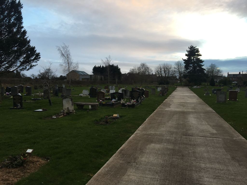
| Description | : | Cemetery from 1950s with approx. 100 graves and room for more burials |
frequently asked questions (FAQ):
-
Where is Eythrope Road Cemetery?
Eythrope Road Cemetery is located at Stone, Aylesbury Vale District ,Buckinghamshire ,England.
-
Eythrope Road Cemetery cemetery's updated grave count on graveviews.com?
0 memorials
-
Where are the coordinates of the Eythrope Road Cemetery?
Latitude: 51.8068250
Longitude: -0.8652493
Nearby Cemetories:
1. St. John the Baptist Churchyard
Stone, Aylesbury Vale District, England
Coordinate: 51.8034640, -0.8644200
2. St. Mary's Churchyard
Hartwell, Aylesbury Vale District, England
Coordinate: 51.8052662, -0.8484938
3. Saint Peter and Saint Paul Churchyard
Dinton, Aylesbury Vale District, England
Coordinate: 51.7931690, -0.8901620
4. St. Peter's Churchyard
Quarrendon, Aylesbury Vale District, England
Coordinate: 51.8276630, -0.8616030
5. Castle Street Chapel Burial Ground
Aylesbury, Aylesbury Vale District, England
Coordinate: 51.8165570, -0.8157510
6. St Mary the Virgin Churchyard
Aylesbury, Aylesbury Vale District, England
Coordinate: 51.8178300, -0.8159800
7. Waddesdon Hill Strict Baptist Chapel Chapelyard
Waddesdon, Aylesbury Vale District, England
Coordinate: 51.8289880, -0.9083030
8. St Mary Magdalene Churchyard
Upper Winchendon, Aylesbury Vale District, England
Coordinate: 51.8240620, -0.9192140
9. Tring Road Cemetery
Aylesbury, Aylesbury Vale District, England
Coordinate: 51.8149700, -0.7979560
10. Aylesbury Vale Crematorium
Aylesbury Vale District, England
Coordinate: 51.8335320, -0.8115783
11. St. Nicholas Churchyard
Cuddington, Aylesbury Vale District, England
Coordinate: 51.7944300, -0.9320400
12. Aylesbury Prison Cemetery
Aylesbury, Aylesbury Vale District, England
Coordinate: 51.8219070, -0.7995920
13. St. Nicholas' Churchyard
Nether Winchendon, Aylesbury Vale District, England
Coordinate: 51.8041000, -0.9388000
14. Aston Sandford St Michael and all Angels
Aston Sandford, Aylesbury Vale District, England
Coordinate: 51.7651962, -0.9024482
15. St. Mary the Virgin Churchyard
Stoke Mandeville, Aylesbury Vale District, England
Coordinate: 51.7861990, -0.7913990
16. Haddenham Baptist Church Graveyard
Haddenham, Aylesbury Vale District, England
Coordinate: 51.7706830, -0.9274900
17. St. James the Great Churchyard
Bierton-with-Broughton, Aylesbury Vale District, England
Coordinate: 51.8297345, -0.7880557
18. White Friar's Church
Oxford, City of Oxford, England
Coordinate: 51.7710000, -0.9288600
19. St. Michael and All Angels Churchyard
Waddesdon, Aylesbury Vale District, England
Coordinate: 51.8464760, -0.9269500
20. St. Mary the Virgin Churchyard
Haddenham, Aylesbury Vale District, England
Coordinate: 51.7658180, -0.9266980
21. Weedon Methodist Chapelyard
Weedon, Aylesbury Vale District, England
Coordinate: 51.8554190, -0.8184970
22. Bierton Strict Baptist Chapel Burial Ground
Bierton-with-Broughton, Aylesbury Vale District, England
Coordinate: 51.8333930, -0.7827580
23. Bierton Wesleyan Chapel
Bierton-with-Broughton, Aylesbury Vale District, England
Coordinate: 51.8333290, -0.7816600
24. St Nicholas Churchyard
Chearsley, Aylesbury Vale District, England
Coordinate: 51.7868900, -0.9571600