| Memorials | : | 0 |
| Location | : | Loraine, Kern County, USA |
| Coordinate | : | 35.3059000, -118.4355000 |
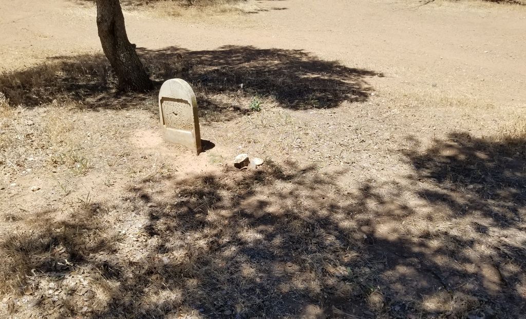
| Description | : | Loraine (formerly, Paris and Paris-Loraine) is an unincorporated community in Kern County, California. It is located on the east bank of the mouth of Indian Creek where it enters Caliente Creek, 12 miles north of Tehachapi, at an elevation of 2671 feet. The Paris post office opened in 1903, changed its name to Loraine in 1912, closed in 1918, re-opened in 1922, and closed for good in 1926. The settlement was originally settled by French and Alsatian miners. Map is to settlement area. Exact cemetery area is unknown. |
frequently asked questions (FAQ):
-
Where is Paris-Loraine Cemetery?
Paris-Loraine Cemetery is located at Loraine, Kern County ,California ,USA.
-
Paris-Loraine Cemetery cemetery's updated grave count on graveviews.com?
0 memorials
-
Where are the coordinates of the Paris-Loraine Cemetery?
Latitude: 35.3059000
Longitude: -118.4355000
Nearby Cemetories:
1. Rankin Cemetery
Walker Basin, Kern County, USA
Coordinate: 35.3844560, -118.5388890
2. Cesar E. Chavez National Monument
Keene, Kern County, USA
Coordinate: 35.2236000, -118.5592400
3. Williams Burial Site
Walker Basin, Kern County, USA
Coordinate: 35.4320950, -118.4815680
4. Tehachapi Westside Cemetery
Tehachapi, Kern County, USA
Coordinate: 35.1387400, -118.4633600
5. Old Tehachapi Cemetery
Tehachapi, Kern County, USA
Coordinate: 35.1400990, -118.4795570
6. Buhn Ranch Cemetery
Tehachapi, Kern County, USA
Coordinate: 35.1352210, -118.4319290
7. Tehachapi Eastside Cemetery
Tehachapi, Kern County, USA
Coordinate: 35.1329000, -118.4153200
8. Bakersfield National Cemetery
Arvin, Kern County, USA
Coordinate: 35.2559600, -118.6693480
9. Sand Canyon Cemetery
Tehachapi, Kern County, USA
Coordinate: 35.1331320, -118.3150210
10. Brite Family Cemetery
Tehachapi, Kern County, USA
Coordinate: 35.1085350, -118.5473470
11. Tehachapi Cove Cemetery
Tehachapi, Kern County, USA
Coordinate: 35.1190000, -118.5724600
12. Fickert Family Cemetery
Bear Valley Springs, Kern County, USA
Coordinate: 35.1697260, -118.6443350
13. Saint Joseph Cemetery
Havilah, Kern County, USA
Coordinate: 35.5147500, -118.5177700
14. James Foley Gravesite
Tehachapi, Kern County, USA
Coordinate: 35.0509590, -118.3561170
15. Kelso Cemetery
Weldon, Kern County, USA
Coordinate: 35.5255200, -118.2148500
16. Palmer Family Cemetery
Bodfish, Kern County, USA
Coordinate: 35.6087200, -118.4908600
17. Tejon Indian Settlement Cemetery
Kern County, USA
Coordinate: 35.0422000, -118.6553900
18. Josie Bishop Mining Claims and Grave Site
Cantil, Kern County, USA
Coordinate: 35.3803940, -118.0518260
19. Keyesville Cemetery
Keyesville, Kern County, USA
Coordinate: 35.6252690, -118.5066220
20. Mojave Cemetery
Mojave, Kern County, USA
Coordinate: 35.0550117, -118.1694565
21. Pauls Place Cemetery
Kern County, USA
Coordinate: 35.6565900, -118.3188700
22. Arvin Cemetery
Arvin, Kern County, USA
Coordinate: 35.2132300, -118.8952700
23. Hillcrest Memorial Park
Bakersfield, Kern County, USA
Coordinate: 35.3814316, -118.9012527
24. Long Tom Mine Cemetery
Woody, Kern County, USA
Coordinate: 35.5495600, -118.8308700

