
| Memorials | : | 70 |
| Location | : | Tehachapi, Kern County, USA |
| Phone | : | 661-822-3842 |
| Coordinate | : | 35.1329000, -118.4153200 |
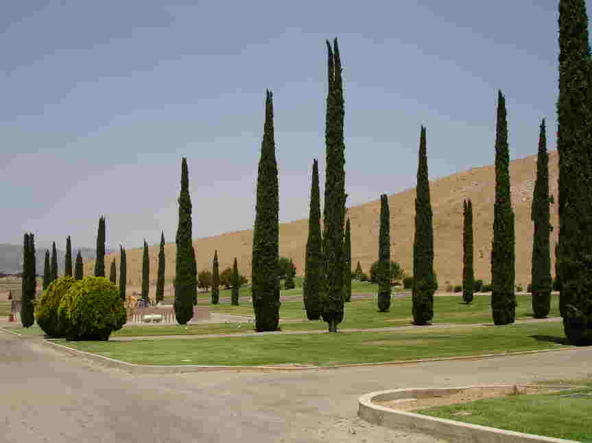
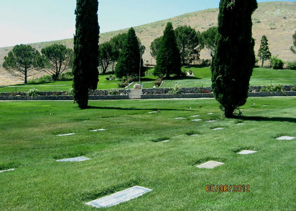
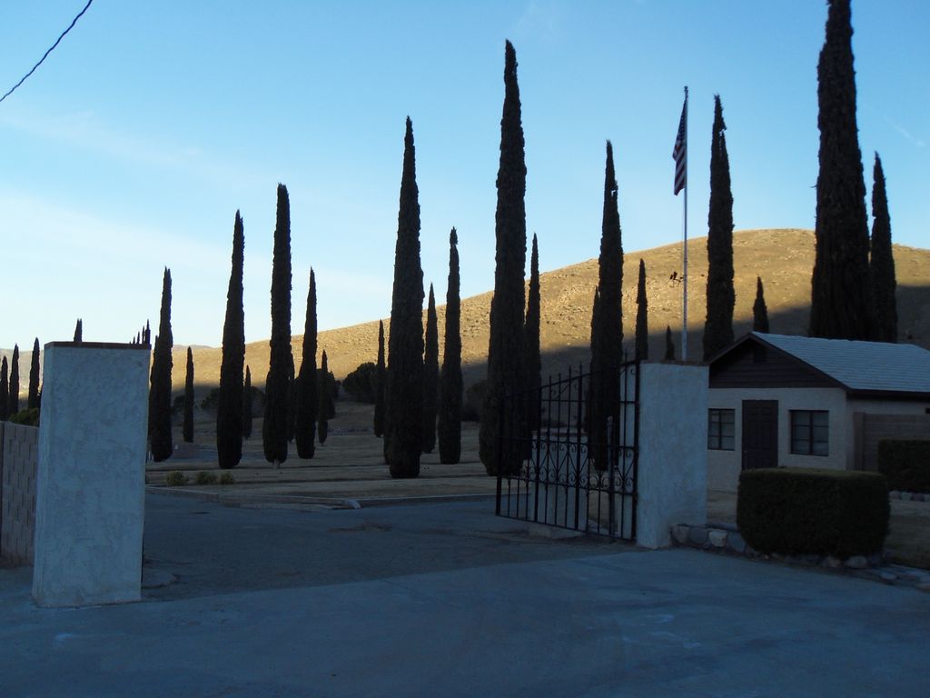
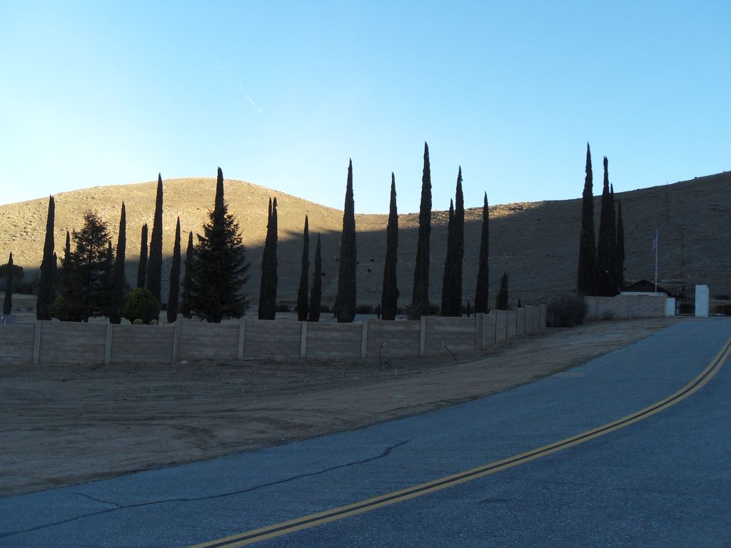
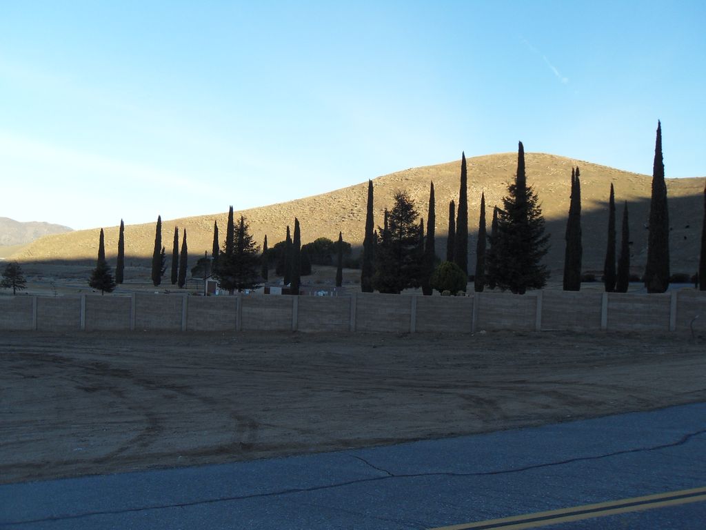
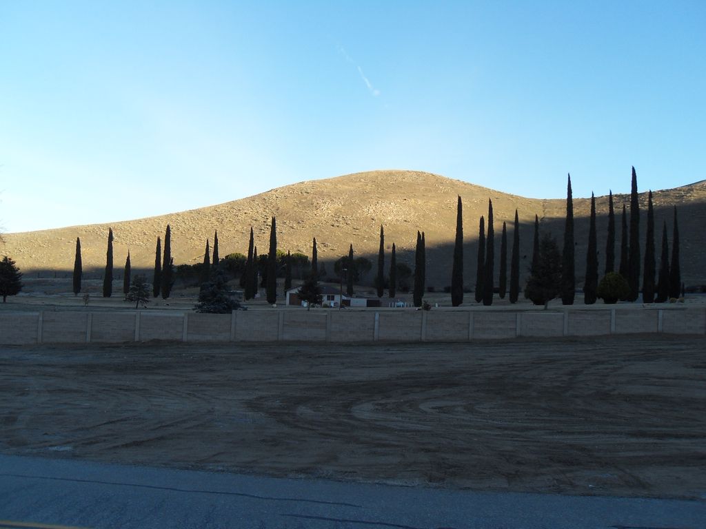
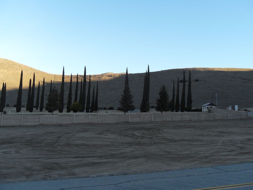
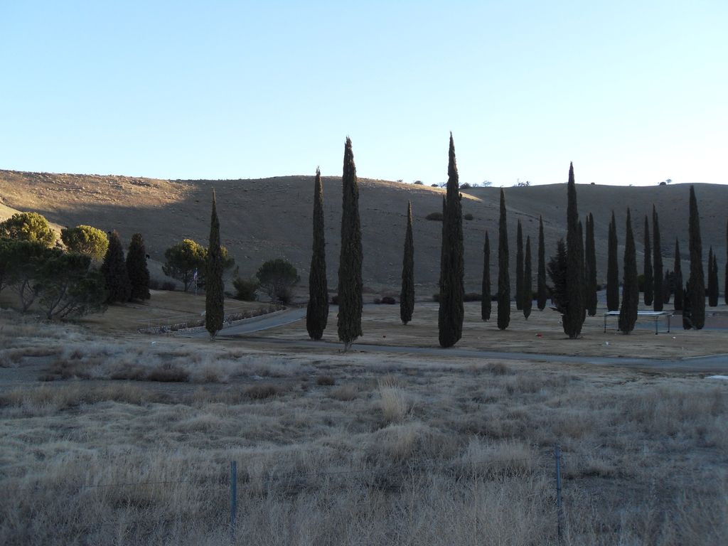
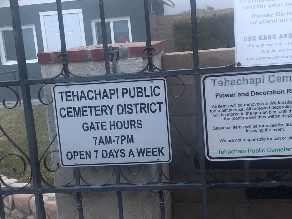
| Description | : | Also known as the Tehachapi Protestant Cemetery. Exit Highway 58 at Tehachapi Blvd. Go West to Dennison Road. Turn right on Dennison Road, go over the railroad tracks and follow the road. It will end at the cemetery. |
frequently asked questions (FAQ):
-
Where is Tehachapi Eastside Cemetery?
Tehachapi Eastside Cemetery is located at 820 Burnett Road Tehachapi, Kern County ,California , 93561USA.
-
Tehachapi Eastside Cemetery cemetery's updated grave count on graveviews.com?
10 memorials
-
Where are the coordinates of the Tehachapi Eastside Cemetery?
Latitude: 35.1329000
Longitude: -118.4153200


Nearby Cemetories:
1. Buhn Ranch Cemetery
Tehachapi, Kern County, USA
Coordinate: 35.1352210, -118.4319290
2. Tehachapi Westside Cemetery
Tehachapi, Kern County, USA
Coordinate: 35.1387400, -118.4633600
3. Old Tehachapi Cemetery
Tehachapi, Kern County, USA
Coordinate: 35.1400990, -118.4795570
4. Sand Canyon Cemetery
Tehachapi, Kern County, USA
Coordinate: 35.1331320, -118.3150210
5. James Foley Gravesite
Tehachapi, Kern County, USA
Coordinate: 35.0509590, -118.3561170
6. Brite Family Cemetery
Tehachapi, Kern County, USA
Coordinate: 35.1085350, -118.5473470
7. Tehachapi Cove Cemetery
Tehachapi, Kern County, USA
Coordinate: 35.1190000, -118.5724600
8. Cesar E. Chavez National Monument
Keene, Kern County, USA
Coordinate: 35.2236000, -118.5592400
9. Paris-Loraine Cemetery
Loraine, Kern County, USA
Coordinate: 35.3059000, -118.4355000
10. Fickert Family Cemetery
Bear Valley Springs, Kern County, USA
Coordinate: 35.1697260, -118.6443350
11. Mojave Cemetery
Mojave, Kern County, USA
Coordinate: 35.0550117, -118.1694565
12. Tejon Indian Settlement Cemetery
Kern County, USA
Coordinate: 35.0422000, -118.6553900
13. Bakersfield National Cemetery
Arvin, Kern County, USA
Coordinate: 35.2559600, -118.6693480
14. Rankin Cemetery
Walker Basin, Kern County, USA
Coordinate: 35.3844560, -118.5388890
15. Islamic Cemetery and Masjid
Rosamond, Kern County, USA
Coordinate: 34.8385340, -118.3402240
16. Williams Burial Site
Walker Basin, Kern County, USA
Coordinate: 35.4320950, -118.4815680
17. Josie Bishop Mining Claims and Grave Site
Cantil, Kern County, USA
Coordinate: 35.3803940, -118.0518260
18. Saint Joseph Cemetery
Havilah, Kern County, USA
Coordinate: 35.5147500, -118.5177700
19. California City Memorial Park
California City, Kern County, USA
Coordinate: 35.1384080, -117.9275040
20. Arvin Cemetery
Arvin, Kern County, USA
Coordinate: 35.2132300, -118.8952700
21. Kelso Cemetery
Weldon, Kern County, USA
Coordinate: 35.5255200, -118.2148500
22. Trier-Pfalzel
Pfalzel, Stadtkreis Trier, Germany
Coordinate: 34.9245895, -117.9339504
23. Hillcrest Memorial Park
Bakersfield, Kern County, USA
Coordinate: 35.3814316, -118.9012527
24. Peter Lebeck Gravesite
Lebec, Kern County, USA
Coordinate: 34.8743040, -118.8926210