
| Memorials | : | 1 |
| Location | : | Kea, Cornwall Unitary Authority, England |
| Coordinate | : | 50.2460420, -5.1264660 |
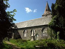
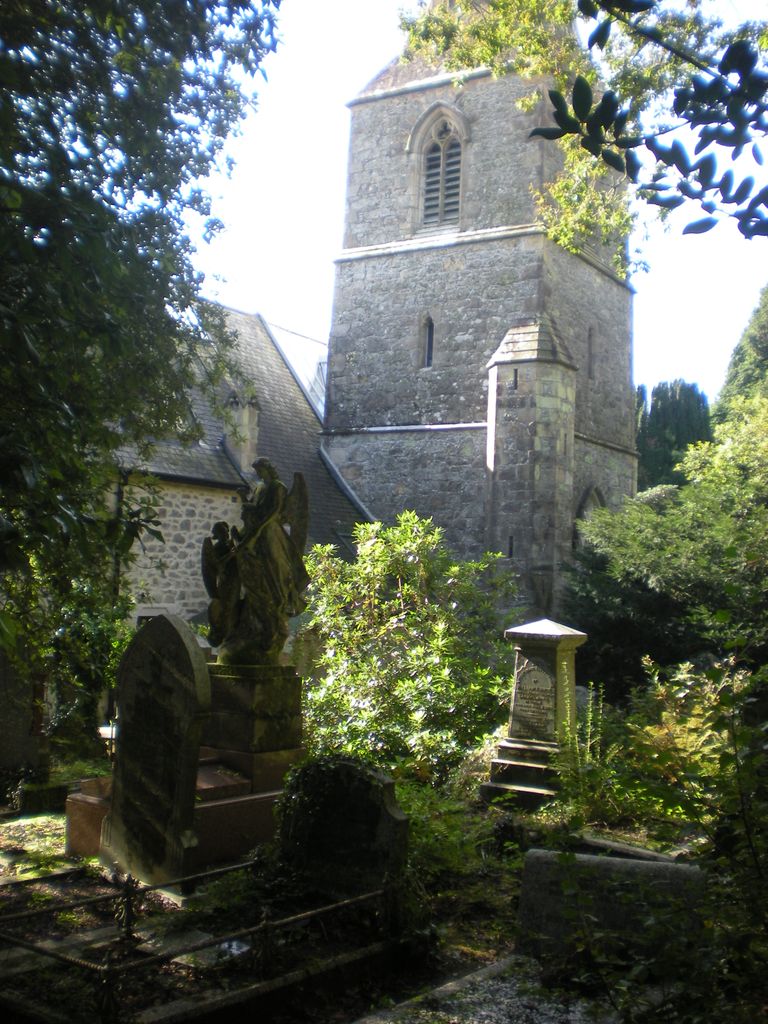
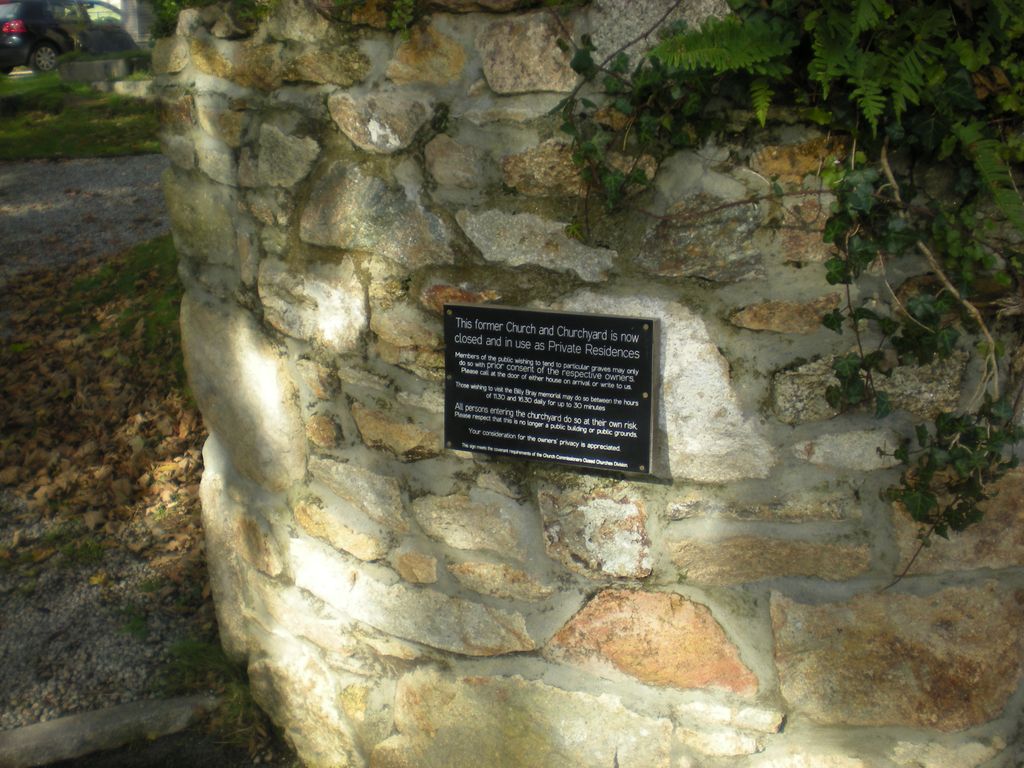
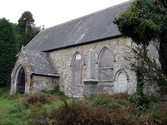
| Description | : | The parish was created in 1847 out of parts of Kea and Kenwyn and the church of St Michael and All Angels built soon after. Once the parish church of Baldhu, when this was a busy mining area. Now completely deserted - you can see the memorial to the 19th Century revivalist preacher, Billy Bray, noted for 'his sanctified wit, Christian simplicity and fervid faith' Boldhu Church and School were built by the Earl of Falmouth to serve a village that was going to be built to serve the Boldhu Mine. This was never built. The church of St Michael... Read More |
frequently asked questions (FAQ):
-
Where is Baldhu Parish Churchyard?
Baldhu Parish Churchyard is located at Kea, Cornwall Unitary Authority ,Cornwall ,England.
-
Baldhu Parish Churchyard cemetery's updated grave count on graveviews.com?
1 memorials
-
Where are the coordinates of the Baldhu Parish Churchyard?
Latitude: 50.2460420
Longitude: -5.1264660
Nearby Cemetories:
1. All Hallows Churchyard
Kea, Cornwall Unitary Authority, England
Coordinate: 50.2430560, -5.0729050
2. St. Wenappa Churchyard
Gwennap, Cornwall Unitary Authority, England
Coordinate: 50.2176600, -5.1709770
3. St John the Evangelist and St Petroc
Feock, Cornwall Unitary Authority, England
Coordinate: 50.2116600, -5.0929700
4. St. Keyne Churchyard
Kenwyn, Cornwall Unitary Authority, England
Coordinate: 50.2722640, -5.0611800
5. Lanner Christchurch
Lanner, Cornwall Unitary Authority, England
Coordinate: 50.2141000, -5.2047500
6. St Feock Churchyard
Feock, Cornwall Unitary Authority, England
Coordinate: 50.2058070, -5.0497230
7. Illogan Cemetery
Illogan, Cornwall Unitary Authority, England
Coordinate: 50.2483800, -5.2670400
8. St. Illogan Parish Churchyard
Illogan, Cornwall Unitary Authority, England
Coordinate: 50.2496900, -5.2675400
9. Trevenson Churchyard
Camborne, Cornwall Unitary Authority, England
Coordinate: 50.2303130, -5.2734090
10. Mabe Churchyard
Mabe, Cornwall Unitary Authority, England
Coordinate: 50.1497800, -5.1404600
11. St Budock Churchyard
Budock, Cornwall Unitary Authority, England
Coordinate: 50.1501600, -5.1003360
12. All Saints Churchyard
Camborne, Cornwall Unitary Authority, England
Coordinate: 50.2201180, -5.2858190
13. Falmouth Cemetery
Falmouth, Cornwall Unitary Authority, England
Coordinate: 50.1437550, -5.0755230
14. Centenary Methodist Chapel & Cemetery
Camborne, Cornwall Unitary Authority, England
Coordinate: 50.2147340, -5.2928470
15. St. Martin and St. Meriadoc Churchyard
Camborne, Cornwall Unitary Authority, England
Coordinate: 50.2134190, -5.3020460
16. St. John the Evangelist Churchyard
Camborne, Cornwall Unitary Authority, England
Coordinate: 50.1935761, -5.2931032
17. Camborne Cemetery
Camborne, Cornwall Unitary Authority, England
Coordinate: 50.2157510, -5.3098940
18. Killivose Cemetery
Camborne, Cornwall Unitary Authority, England
Coordinate: 50.2027700, -5.3036500
19. Ladock Parish Cemetery
Ladock, Cornwall Unitary Authority, England
Coordinate: 50.3208230, -4.9577200
20. St Constantine Churchyard
Constantine, Cornwall Unitary Authority, England
Coordinate: 50.1181980, -5.1748880
21. St. Cubert Churchyard
Cubert, Cornwall Unitary Authority, England
Coordinate: 50.3777500, -5.1148400
22. Crowan Anglican Churchyard
Crowan, Cornwall Unitary Authority, England
Coordinate: 50.1637320, -5.2976630
23. Cubert Cemetery
Cubert, Cornwall Unitary Authority, England
Coordinate: 50.3833400, -5.1123400
24. St. Crida Churchyard
Grampound, Cornwall Unitary Authority, England
Coordinate: 50.2887220, -4.9000630