
| Memorials | : | 0 |
| Location | : | Illogan, Cornwall Unitary Authority, England |
| Phone | : | 01872 324926 |
| Coordinate | : | 50.2483800, -5.2670400 |
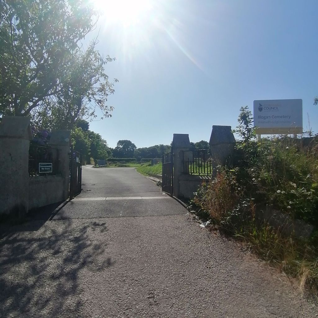
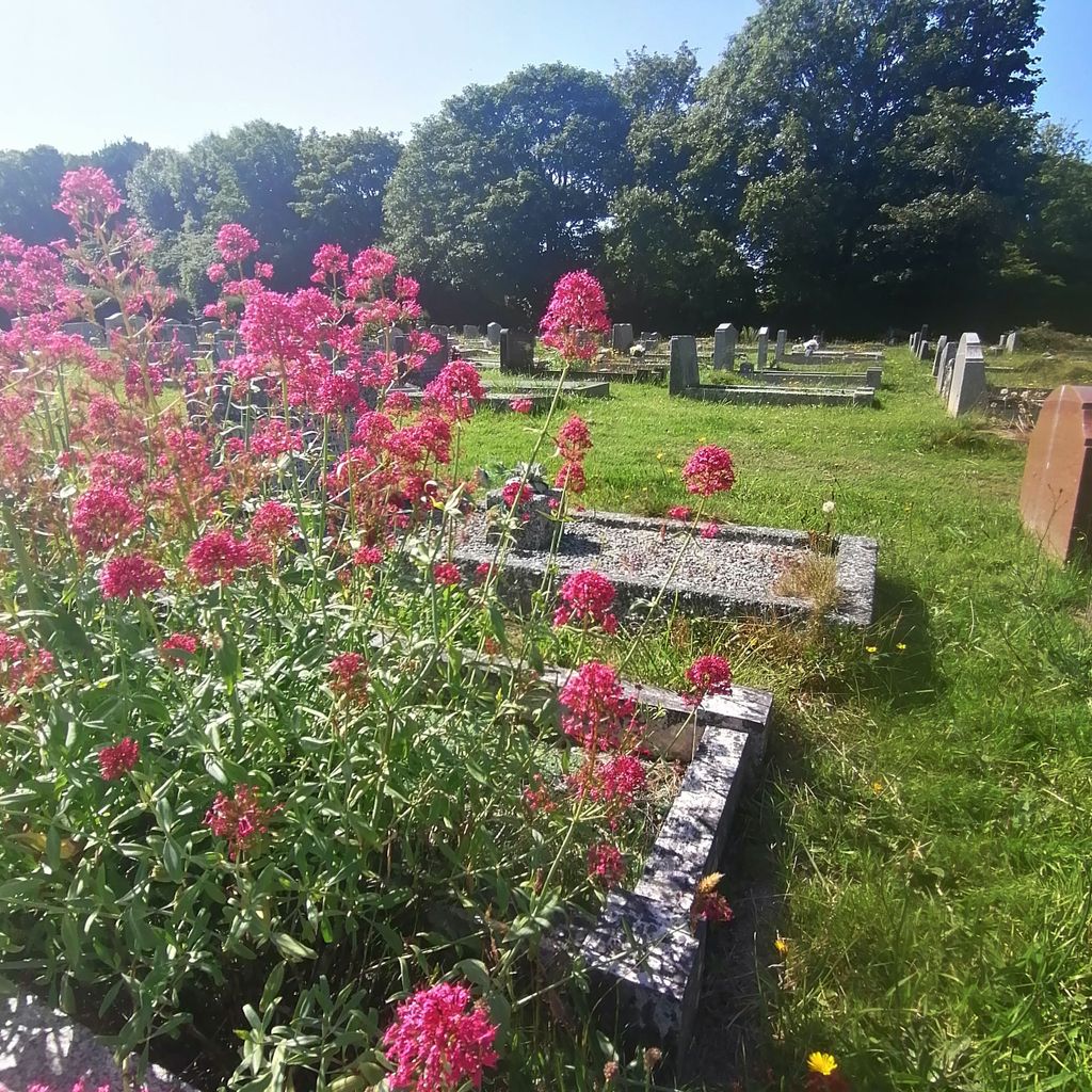
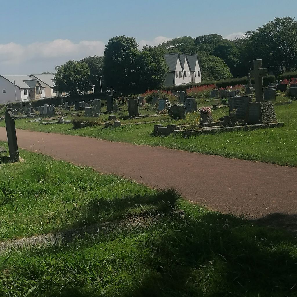
| Description | : | This cemetery is administered by Cornwall Council. Most Illogan burials since the early 1950's have taken place here. NOTE: Do not confuse with the nearby, but separate, St. Illogan Parish Churchyard, which is administered by the church. |
frequently asked questions (FAQ):
-
Where is Illogan Cemetery?
Illogan Cemetery is located at Church Road Illogan, Cornwall Unitary Authority ,Cornwall , TR16 4SREngland.
-
Illogan Cemetery cemetery's updated grave count on graveviews.com?
0 memorials
-
Where are the coordinates of the Illogan Cemetery?
Latitude: 50.2483800
Longitude: -5.2670400

Nearby Cemetories:
1. St. Illogan Parish Churchyard
Illogan, Cornwall Unitary Authority, England
Coordinate: 50.2496900, -5.2675400
2. Trevenson Churchyard
Camborne, Cornwall Unitary Authority, England
Coordinate: 50.2303130, -5.2734090
3. All Saints Churchyard
Camborne, Cornwall Unitary Authority, England
Coordinate: 50.2201180, -5.2858190
4. Centenary Methodist Chapel & Cemetery
Camborne, Cornwall Unitary Authority, England
Coordinate: 50.2147340, -5.2928470
5. St. Martin and St. Meriadoc Churchyard
Camborne, Cornwall Unitary Authority, England
Coordinate: 50.2134190, -5.3020460
6. Camborne Cemetery
Camborne, Cornwall Unitary Authority, England
Coordinate: 50.2157510, -5.3098940
7. Killivose Cemetery
Camborne, Cornwall Unitary Authority, England
Coordinate: 50.2027700, -5.3036500
8. Lanner Christchurch
Lanner, Cornwall Unitary Authority, England
Coordinate: 50.2141000, -5.2047500
9. St. John the Evangelist Churchyard
Camborne, Cornwall Unitary Authority, England
Coordinate: 50.1935761, -5.2931032
10. St. Wenappa Churchyard
Gwennap, Cornwall Unitary Authority, England
Coordinate: 50.2176600, -5.1709770
11. St. Gothians Churchyard
Gwithian, Cornwall Unitary Authority, England
Coordinate: 50.2221222, -5.3850918
12. Crowan Anglican Churchyard
Crowan, Cornwall Unitary Authority, England
Coordinate: 50.1637320, -5.2976630
13. Baldhu Parish Churchyard
Kea, Cornwall Unitary Authority, England
Coordinate: 50.2460420, -5.1264660
14. St. Gwinear Churchyard
Gwinear, Cornwall Unitary Authority, England
Coordinate: 50.1874090, -5.3706170
15. Gwinear Parish Church Cemetery
Gwinear, Cornwall Unitary Authority, England
Coordinate: 50.1879940, -5.3714960
16. St Felicitas and St Piala Churchyard
Hayle, Cornwall Unitary Authority, England
Coordinate: 50.1961600, -5.4124860
17. Rescorla Monument
Hayle, Cornwall Unitary Authority, England
Coordinate: 50.1857330, -5.4215940
18. St John the Evangelist and St Petroc
Feock, Cornwall Unitary Authority, England
Coordinate: 50.2116600, -5.0929700
19. St. Uny Churchyard Old
Lelant, Cornwall Unitary Authority, England
Coordinate: 50.1887240, -5.4362110
20. Southern Anglican Cemetery
Lelant, Cornwall Unitary Authority, England
Coordinate: 50.1879380, -5.4361620
21. Eastern Anglican Cemetery
Lelant, Cornwall Unitary Authority, England
Coordinate: 50.1885730, -5.4367950
22. Western Non-Anglican Cemetery
Lelant, Cornwall Unitary Authority, England
Coordinate: 50.1887070, -5.4373470
23. All Hallows Churchyard
Kea, Cornwall Unitary Authority, England
Coordinate: 50.2430560, -5.0729050
24. St John the Baptist Churchyard
Godolphin Cross, Cornwall Unitary Authority, England
Coordinate: 50.1333830, -5.3470240