
| Memorials | : | 1 |
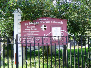
| Location | : | Illogan, Cornwall Unitary Authority, England |
| Phone | : | +44 1209 843938 |
| Website | : | saint-illogan.org.uk |
| Coordinate | : | 50.2496900, -5.2675400 |
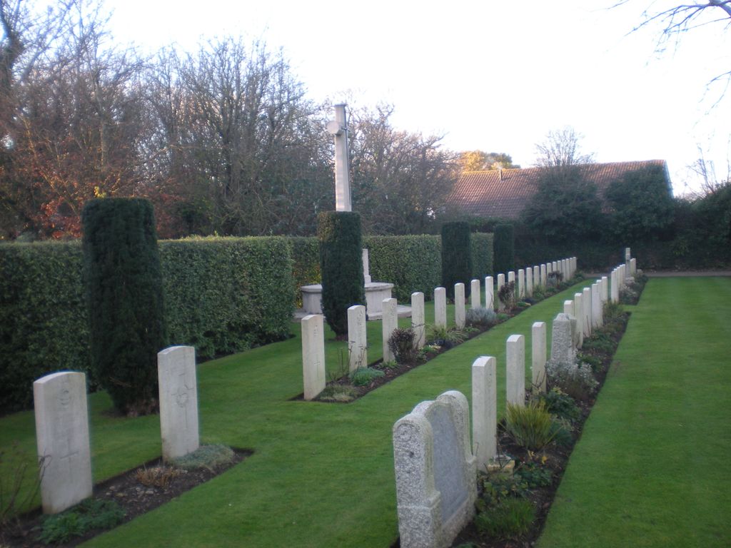
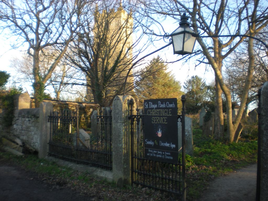
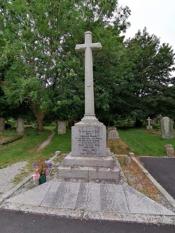
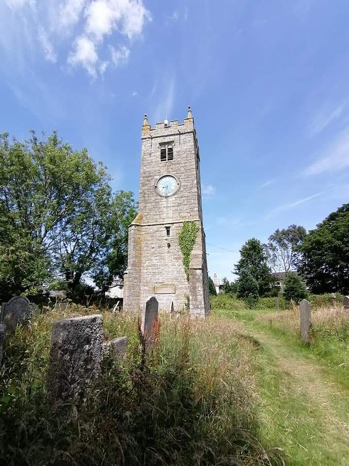
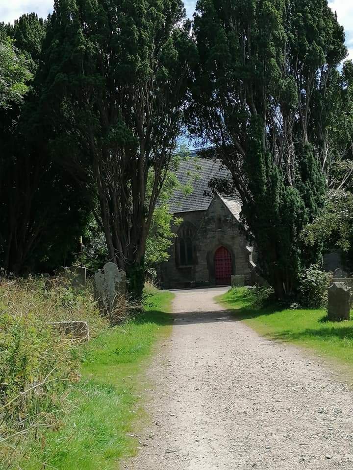
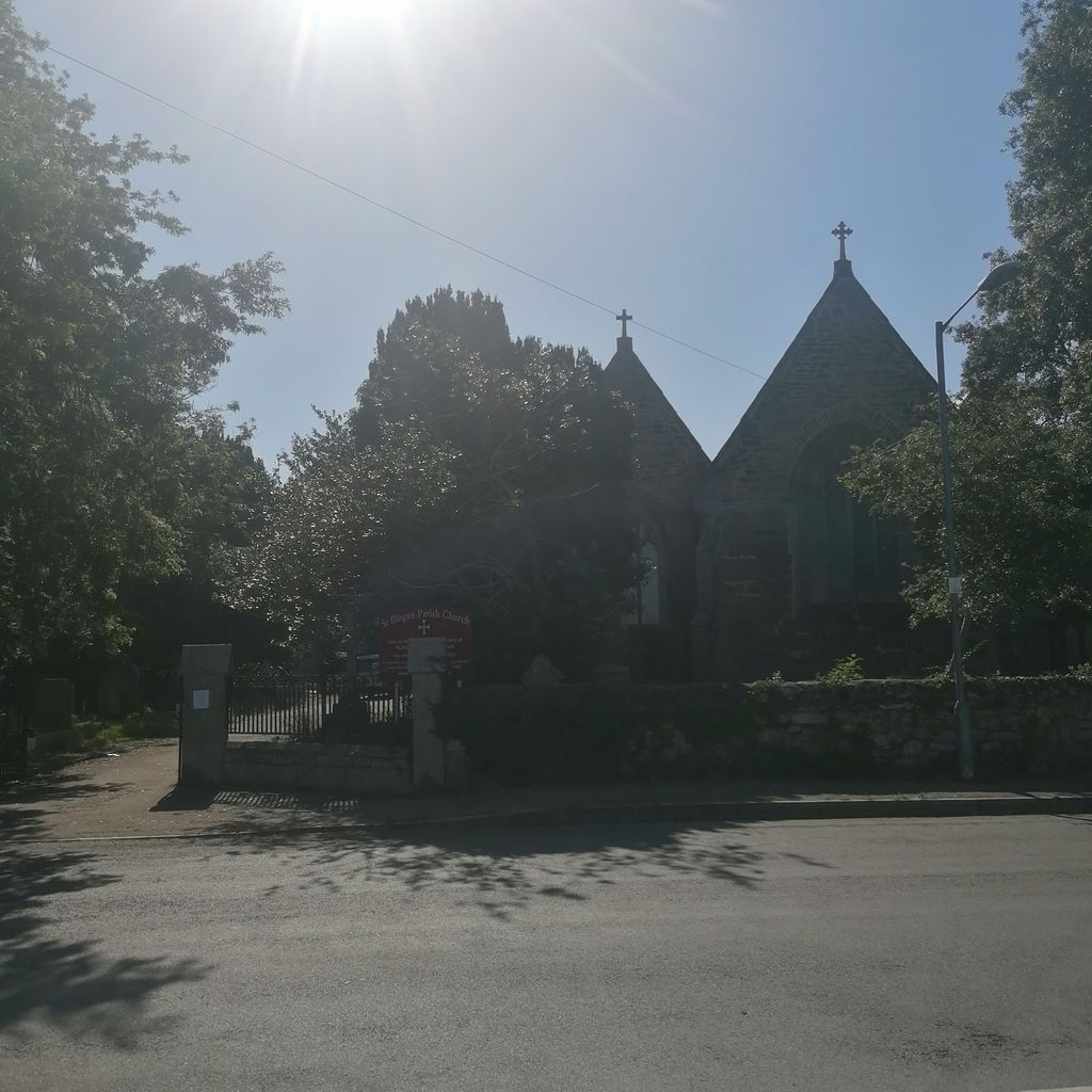
| Description | : | These graves are in the churchyard of Saint Illogan Parish Church. Many of those buried here have no headstones. One corner is dedicated to the graves of 52 servicemen, some of whom flew from nearby RAF Portreath and RAF Perranporth. NOTE: Do not confuse with the nearby, but separate, Illogan Cemetery which is administered by Cornwall Council. |
frequently asked questions (FAQ):
-
Where is St. Illogan Parish Churchyard?
St. Illogan Parish Churchyard is located at Church Road (at Oxland Road) Illogan, Cornwall Unitary Authority ,Cornwall , TR16 4SREngland.
-
St. Illogan Parish Churchyard cemetery's updated grave count on graveviews.com?
0 memorials
-
Where are the coordinates of the St. Illogan Parish Churchyard?
Latitude: 50.2496900
Longitude: -5.2675400

Nearby Cemetories:
1. Illogan Cemetery
Illogan, Cornwall Unitary Authority, England
Coordinate: 50.2483800, -5.2670400
2. Trevenson Churchyard
Camborne, Cornwall Unitary Authority, England
Coordinate: 50.2303130, -5.2734090
3. All Saints Churchyard
Camborne, Cornwall Unitary Authority, England
Coordinate: 50.2201180, -5.2858190
4. Centenary Methodist Chapel & Cemetery
Camborne, Cornwall Unitary Authority, England
Coordinate: 50.2147340, -5.2928470
5. St. Martin and St. Meriadoc Churchyard
Camborne, Cornwall Unitary Authority, England
Coordinate: 50.2134190, -5.3020460
6. Camborne Cemetery
Camborne, Cornwall Unitary Authority, England
Coordinate: 50.2157510, -5.3098940
7. Killivose Cemetery
Camborne, Cornwall Unitary Authority, England
Coordinate: 50.2027700, -5.3036500
8. Lanner Christchurch
Lanner, Cornwall Unitary Authority, England
Coordinate: 50.2141000, -5.2047500
9. St. John the Evangelist Churchyard
Camborne, Cornwall Unitary Authority, England
Coordinate: 50.1935761, -5.2931032
10. St. Wenappa Churchyard
Gwennap, Cornwall Unitary Authority, England
Coordinate: 50.2176600, -5.1709770
11. St. Gothians Churchyard
Gwithian, Cornwall Unitary Authority, England
Coordinate: 50.2221222, -5.3850918
12. Crowan Anglican Churchyard
Crowan, Cornwall Unitary Authority, England
Coordinate: 50.1637320, -5.2976630
13. Baldhu Parish Churchyard
Kea, Cornwall Unitary Authority, England
Coordinate: 50.2460420, -5.1264660
14. St. Gwinear Churchyard
Gwinear, Cornwall Unitary Authority, England
Coordinate: 50.1874090, -5.3706170
15. Gwinear Parish Church Cemetery
Gwinear, Cornwall Unitary Authority, England
Coordinate: 50.1879940, -5.3714960
16. St Felicitas and St Piala Churchyard
Hayle, Cornwall Unitary Authority, England
Coordinate: 50.1961600, -5.4124860
17. Rescorla Monument
Hayle, Cornwall Unitary Authority, England
Coordinate: 50.1857330, -5.4215940
18. St John the Evangelist and St Petroc
Feock, Cornwall Unitary Authority, England
Coordinate: 50.2116600, -5.0929700
19. St. Uny Churchyard Old
Lelant, Cornwall Unitary Authority, England
Coordinate: 50.1887240, -5.4362110
20. Southern Anglican Cemetery
Lelant, Cornwall Unitary Authority, England
Coordinate: 50.1879380, -5.4361620
21. Eastern Anglican Cemetery
Lelant, Cornwall Unitary Authority, England
Coordinate: 50.1885730, -5.4367950
22. Western Non-Anglican Cemetery
Lelant, Cornwall Unitary Authority, England
Coordinate: 50.1887070, -5.4373470
23. All Hallows Churchyard
Kea, Cornwall Unitary Authority, England
Coordinate: 50.2430560, -5.0729050
24. St John the Baptist Churchyard
Godolphin Cross, Cornwall Unitary Authority, England
Coordinate: 50.1333830, -5.3470240