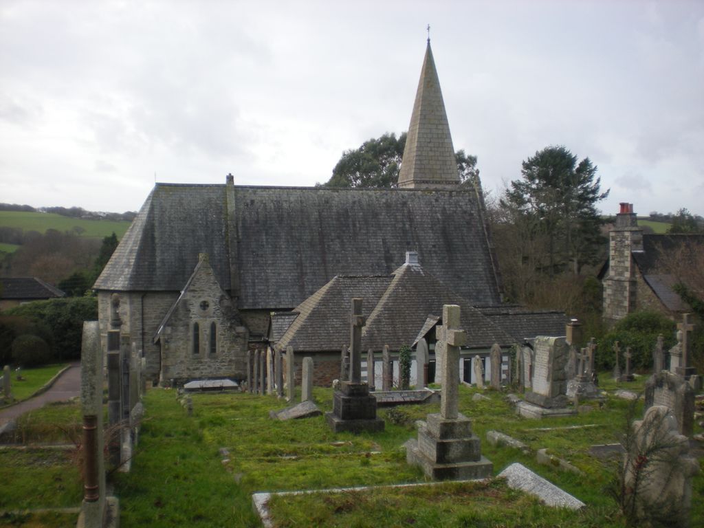
| Memorials | : | 0 |
| Location | : | Feock, Cornwall Unitary Authority, England |
| Coordinate | : | 50.2116600, -5.0929700 |
frequently asked questions (FAQ):
-
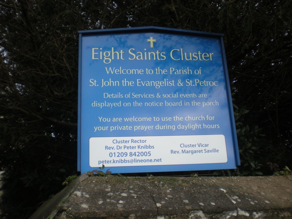
Where is St John the Evangelist and St Petroc?
St John the Evangelist and St Petroc is located at Devoran Feock, Cornwall Unitary Authority ,Cornwall , TR3 6PAEngland.
-
St John the Evangelist and St Petroc cemetery's updated grave count on graveviews.com?
0 memorials
-
Where are the coordinates of the St John the Evangelist and St Petroc?
Latitude: 50.2116600
Longitude: -5.0929700
Nearby Cemetories:
1. St Feock Churchyard
Feock, Cornwall Unitary Authority, England
Coordinate: 50.2058070, -5.0497230
2. All Hallows Churchyard
Kea, Cornwall Unitary Authority, England
Coordinate: 50.2430560, -5.0729050
3. Baldhu Parish Churchyard
Kea, Cornwall Unitary Authority, England
Coordinate: 50.2460420, -5.1264660
4. St. Wenappa Churchyard
Gwennap, Cornwall Unitary Authority, England
Coordinate: 50.2176600, -5.1709770
5. St Budock Churchyard
Budock, Cornwall Unitary Authority, England
Coordinate: 50.1501600, -5.1003360
6. St. Keyne Churchyard
Kenwyn, Cornwall Unitary Authority, England
Coordinate: 50.2722640, -5.0611800
7. Falmouth Cemetery
Falmouth, Cornwall Unitary Authority, England
Coordinate: 50.1437550, -5.0755230
8. Mabe Churchyard
Mabe, Cornwall Unitary Authority, England
Coordinate: 50.1497800, -5.1404600
9. Lanner Christchurch
Lanner, Cornwall Unitary Authority, England
Coordinate: 50.2141000, -5.2047500
10. St Constantine Churchyard
Constantine, Cornwall Unitary Authority, England
Coordinate: 50.1181980, -5.1748880
11. Trevenson Churchyard
Camborne, Cornwall Unitary Authority, England
Coordinate: 50.2303130, -5.2734090
12. Illogan Cemetery
Illogan, Cornwall Unitary Authority, England
Coordinate: 50.2483800, -5.2670400
13. St. Illogan Parish Churchyard
Illogan, Cornwall Unitary Authority, England
Coordinate: 50.2496900, -5.2675400
14. All Saints Churchyard
Camborne, Cornwall Unitary Authority, England
Coordinate: 50.2201180, -5.2858190
15. St. Peter Churchyard
Flushing, Cornwall Unitary Authority, England
Coordinate: 50.0844440, -5.1009980
16. Centenary Methodist Chapel & Cemetery
Camborne, Cornwall Unitary Authority, England
Coordinate: 50.2147340, -5.2928470
17. St. John the Evangelist Churchyard
Camborne, Cornwall Unitary Authority, England
Coordinate: 50.1935761, -5.2931032
18. St Dunstan Church Cemetery
Manaccan, Cornwall Unitary Authority, England
Coordinate: 50.0836800, -5.1255200
19. Ss Manaccus & Dunstan Churchyard
Manaccan, Cornwall Unitary Authority, England
Coordinate: 50.0830860, -5.1269460
20. St. Martin and St. Meriadoc Churchyard
Camborne, Cornwall Unitary Authority, England
Coordinate: 50.2134190, -5.3020460
21. Killivose Cemetery
Camborne, Cornwall Unitary Authority, England
Coordinate: 50.2027700, -5.3036500
22. Camborne Cemetery
Camborne, Cornwall Unitary Authority, England
Coordinate: 50.2157510, -5.3098940
23. Ladock Parish Cemetery
Ladock, Cornwall Unitary Authority, England
Coordinate: 50.3208230, -4.9577200
24. Crowan Anglican Churchyard
Crowan, Cornwall Unitary Authority, England
Coordinate: 50.1637320, -5.2976630


