
| Memorials | : | 0 |
| Location | : | Bainbridge Center, Berrien County, USA |
| Coordinate | : | 42.1455600, -86.2947300 |
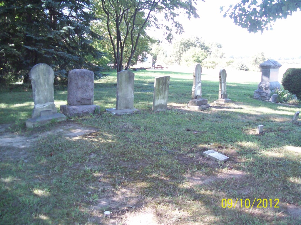
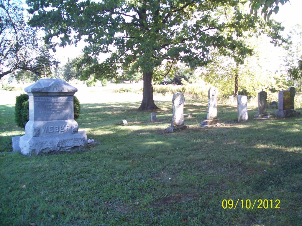
| Description | : | Private Cemetery located on north side of Hill Road and west of Bainbridge Center Road about two miles southeast of Coloma |
frequently asked questions (FAQ):
-
Where is Baptist Cemetery?
Baptist Cemetery is located at Bainbridge Center, Berrien County ,Michigan ,USA.
-
Baptist Cemetery cemetery's updated grave count on graveviews.com?
0 memorials
-
Where are the coordinates of the Baptist Cemetery?
Latitude: 42.1455600
Longitude: -86.2947300
Nearby Cemetories:
1. Saint Marys Catholic Church Cemetery
Watervliet, Berrien County, USA
Coordinate: 42.1450000, -86.2916670
2. Saint Pauls United Church of Christ Cemetery
Watervliet, Berrien County, USA
Coordinate: 42.1447222, -86.2819444
3. Kniebes Cemetery
Coloma, Berrien County, USA
Coordinate: 42.1511002, -86.3071976
4. New Hope United Methodist Church Cemetery
Bainbridge Center, Berrien County, USA
Coordinate: 42.1380530, -86.2812620
5. Boyer Cemetery
Bainbridge Center, Berrien County, USA
Coordinate: 42.1572222, -86.3305556
6. Bainbridge Cemetery
Bainbridge Center, Berrien County, USA
Coordinate: 42.1156006, -86.2694016
7. Byers Cemetery
Bainbridge Center, Berrien County, USA
Coordinate: 42.1156700, -86.2680820
8. Coloma Cemetery
Coloma, Berrien County, USA
Coordinate: 42.1860008, -86.3119965
9. Saint Josephs Catholic Cemetery
Watervliet, Berrien County, USA
Coordinate: 42.1852989, -86.2722015
10. Millburg Cemetery
Millburg, Berrien County, USA
Coordinate: 42.1264000, -86.3486023
11. Watervliet Cemetery
Watervliet, Berrien County, USA
Coordinate: 42.1886110, -86.2536110
12. Penn Yan Cemetery
Bainbridge Center, Berrien County, USA
Coordinate: 42.0868988, -86.2817001
13. Curtis Cemetery
Hagar Township, Berrien County, USA
Coordinate: 42.1856003, -86.3544006
14. Brant Cemetery
Bainbridge Township, Berrien County, USA
Coordinate: 42.0866000, -86.3197000
15. Fairview Memorial Cemetery
Watervliet, Berrien County, USA
Coordinate: 42.1969440, -86.2236110
16. Pearl Cemetery
Benton Township, Berrien County, USA
Coordinate: 42.0905991, -86.3641968
17. Harris Cemetery
Lake Michigan Beach, Berrien County, USA
Coordinate: 42.2144012, -86.3482971
18. North Shore Memory Gardens
Coloma, Berrien County, USA
Coordinate: 42.2024994, -86.3908005
19. Lake Shore Cemetery
Riverside, Berrien County, USA
Coordinate: 42.1669388, -86.4177780
20. Zion United Church of Christ Cemetery
Eau Claire, Berrien County, USA
Coordinate: 42.0567930, -86.2369050
21. Keeler Cemetery
Keeler, Van Buren County, USA
Coordinate: 42.1129875, -86.1657715
22. B'nai Sholom Cemetery
Fair Plain, Berrien County, USA
Coordinate: 42.0938988, -86.4163971
23. Crystal Springs Cemetery
Benton Harbor, Berrien County, USA
Coordinate: 42.0918999, -86.4150009
24. Temple Beth El Memorial Park
Berrien County, USA
Coordinate: 42.0908660, -86.4154530