
| Memorials | : | 41 |
| Location | : | Watervliet, Berrien County, USA |
| Coordinate | : | 42.1447222, -86.2819444 |
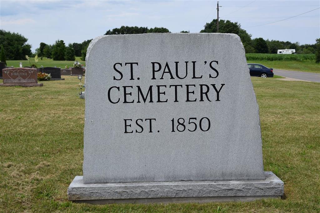
| Description | : | The cemetery is located in Bainbridge Township on the southwest corner of the intersection of Bainbridge Center Road and Hill Road. The cemetery was established in 1850. The U.S. Geological Survey (USGS) Geographic Names Information System (GNIS) feature ID for the cemetery is 2374177 (Saint Pauls United Church of Christ Cemetery). |
frequently asked questions (FAQ):
-
Where is Saint Pauls United Church of Christ Cemetery?
Saint Pauls United Church of Christ Cemetery is located at Bainbridge Center Road and Hill Road Watervliet, Berrien County ,Michigan , 49038USA.
-
Saint Pauls United Church of Christ Cemetery cemetery's updated grave count on graveviews.com?
41 memorials
-
Where are the coordinates of the Saint Pauls United Church of Christ Cemetery?
Latitude: 42.1447222
Longitude: -86.2819444
Nearby Cemetories:
1. New Hope United Methodist Church Cemetery
Bainbridge Center, Berrien County, USA
Coordinate: 42.1380530, -86.2812620
2. Saint Marys Catholic Church Cemetery
Watervliet, Berrien County, USA
Coordinate: 42.1450000, -86.2916670
3. Baptist Cemetery
Bainbridge Center, Berrien County, USA
Coordinate: 42.1455600, -86.2947300
4. Kniebes Cemetery
Coloma, Berrien County, USA
Coordinate: 42.1511002, -86.3071976
5. Bainbridge Cemetery
Bainbridge Center, Berrien County, USA
Coordinate: 42.1156006, -86.2694016
6. Byers Cemetery
Bainbridge Center, Berrien County, USA
Coordinate: 42.1156700, -86.2680820
7. Boyer Cemetery
Bainbridge Center, Berrien County, USA
Coordinate: 42.1572222, -86.3305556
8. Saint Josephs Catholic Cemetery
Watervliet, Berrien County, USA
Coordinate: 42.1852989, -86.2722015
9. Coloma Cemetery
Coloma, Berrien County, USA
Coordinate: 42.1860008, -86.3119965
10. Watervliet Cemetery
Watervliet, Berrien County, USA
Coordinate: 42.1886110, -86.2536110
11. Millburg Cemetery
Millburg, Berrien County, USA
Coordinate: 42.1264000, -86.3486023
12. Penn Yan Cemetery
Bainbridge Center, Berrien County, USA
Coordinate: 42.0868988, -86.2817001
13. Brant Cemetery
Bainbridge Township, Berrien County, USA
Coordinate: 42.0866000, -86.3197000
14. Curtis Cemetery
Hagar Township, Berrien County, USA
Coordinate: 42.1856003, -86.3544006
15. Fairview Memorial Cemetery
Watervliet, Berrien County, USA
Coordinate: 42.1969440, -86.2236110
16. Pearl Cemetery
Benton Township, Berrien County, USA
Coordinate: 42.0905991, -86.3641968
17. Harris Cemetery
Lake Michigan Beach, Berrien County, USA
Coordinate: 42.2144012, -86.3482971
18. Keeler Cemetery
Keeler, Van Buren County, USA
Coordinate: 42.1129875, -86.1657715
19. Zion United Church of Christ Cemetery
Eau Claire, Berrien County, USA
Coordinate: 42.0567930, -86.2369050
20. Pioneer Cemetery
Hartford, Van Buren County, USA
Coordinate: 42.2052200, -86.1769400
21. North Shore Memory Gardens
Coloma, Berrien County, USA
Coordinate: 42.2024994, -86.3908005
22. Maple Hill Cemetery
Hartford, Van Buren County, USA
Coordinate: 42.1980600, -86.1683300
23. Lake Shore Cemetery
Riverside, Berrien County, USA
Coordinate: 42.1669388, -86.4177780
24. Dewey Lake Cemetery
Silver Creek Township, Cass County, USA
Coordinate: 42.0569077, -86.2057266