
| Memorials | : | 57 |
| Location | : | Watervliet, Berrien County, USA |
| Coordinate | : | 42.1852989, -86.2722015 |
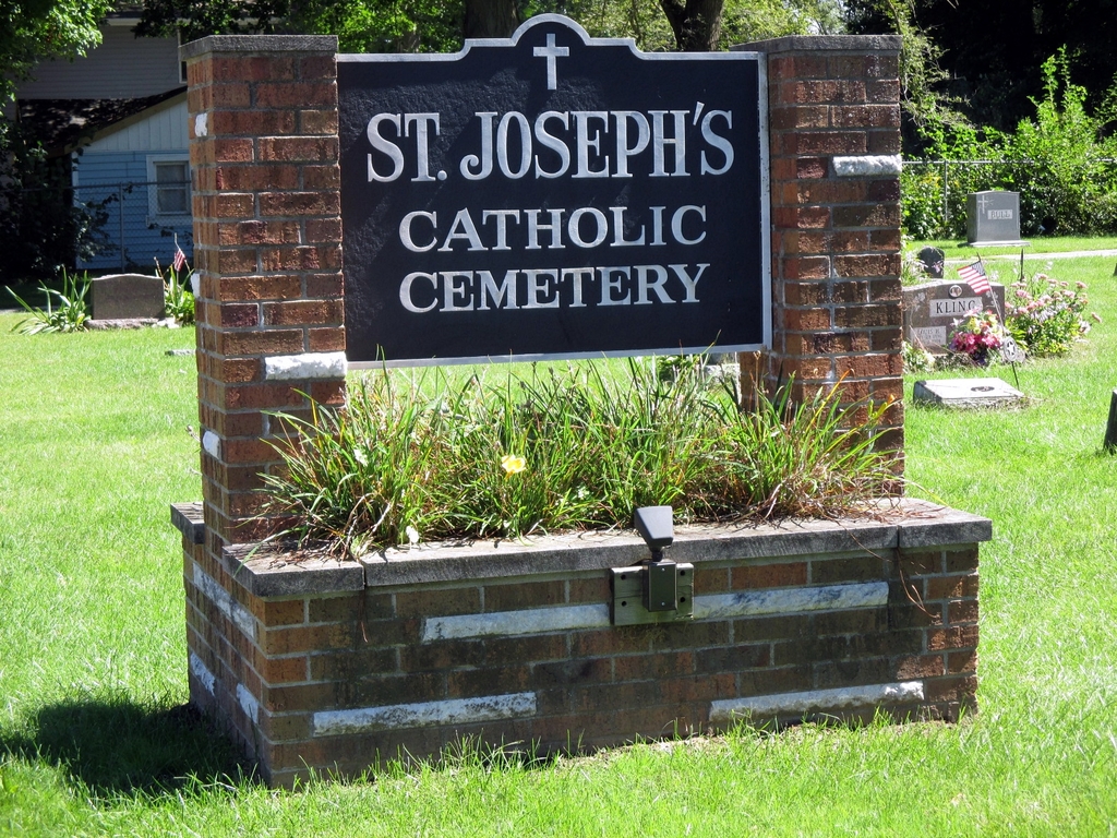
| Description | : | The cemetery is located on the south side of Red Arrow Highway at its intersection with Cherry Street. The U.S. Geological Survey (USGS) Geographic Names Information System (GNIS) feature ID for the cemetery is 636765 (Saint Joseph Cemetery / Bertrand Catholic Cemetery). |
frequently asked questions (FAQ):
-
Where is Saint Josephs Catholic Cemetery?
Saint Josephs Catholic Cemetery is located at Red Arrow Highway Watervliet, Berrien County ,Michigan , 49098USA.
-
Saint Josephs Catholic Cemetery cemetery's updated grave count on graveviews.com?
48 memorials
-
Where are the coordinates of the Saint Josephs Catholic Cemetery?
Latitude: 42.1852989
Longitude: -86.2722015
Nearby Cemetories:
1. Watervliet Cemetery
Watervliet, Berrien County, USA
Coordinate: 42.1886110, -86.2536110
2. Coloma Cemetery
Coloma, Berrien County, USA
Coordinate: 42.1860008, -86.3119965
3. Fairview Memorial Cemetery
Watervliet, Berrien County, USA
Coordinate: 42.1969440, -86.2236110
4. Saint Pauls United Church of Christ Cemetery
Watervliet, Berrien County, USA
Coordinate: 42.1447222, -86.2819444
5. Saint Marys Catholic Church Cemetery
Watervliet, Berrien County, USA
Coordinate: 42.1450000, -86.2916670
6. Kniebes Cemetery
Coloma, Berrien County, USA
Coordinate: 42.1511002, -86.3071976
7. Baptist Cemetery
Bainbridge Center, Berrien County, USA
Coordinate: 42.1455600, -86.2947300
8. New Hope United Methodist Church Cemetery
Bainbridge Center, Berrien County, USA
Coordinate: 42.1380530, -86.2812620
9. Boyer Cemetery
Bainbridge Center, Berrien County, USA
Coordinate: 42.1572222, -86.3305556
10. Curtis Cemetery
Hagar Township, Berrien County, USA
Coordinate: 42.1856003, -86.3544006
11. Harris Cemetery
Lake Michigan Beach, Berrien County, USA
Coordinate: 42.2144012, -86.3482971
12. Emmanuel Home Cemetery
Covert, Van Buren County, USA
Coordinate: 42.2508253, -86.2624946
13. Byers Cemetery
Bainbridge Center, Berrien County, USA
Coordinate: 42.1156700, -86.2680820
14. Bainbridge Cemetery
Bainbridge Center, Berrien County, USA
Coordinate: 42.1156006, -86.2694016
15. Rush Lake Indian Cemetery
Hartford, Van Buren County, USA
Coordinate: 42.2357340, -86.2058600
16. Pioneer Cemetery
Hartford, Van Buren County, USA
Coordinate: 42.2052200, -86.1769400
17. Maple Hill Cemetery
Hartford, Van Buren County, USA
Coordinate: 42.1980600, -86.1683300
18. Millburg Cemetery
Millburg, Berrien County, USA
Coordinate: 42.1264000, -86.3486023
19. Fish Cemetery
Covert, Van Buren County, USA
Coordinate: 42.2655983, -86.2981033
20. North Shore Memory Gardens
Coloma, Berrien County, USA
Coordinate: 42.2024994, -86.3908005
21. Main Family Cemetery
Hartford, Van Buren County, USA
Coordinate: 42.2299530, -86.1575240
22. Penn Yan Cemetery
Bainbridge Center, Berrien County, USA
Coordinate: 42.0868988, -86.2817001
23. Brant Cemetery
Bainbridge Township, Berrien County, USA
Coordinate: 42.0866000, -86.3197000
24. Keeler Cemetery
Keeler, Van Buren County, USA
Coordinate: 42.1129875, -86.1657715