
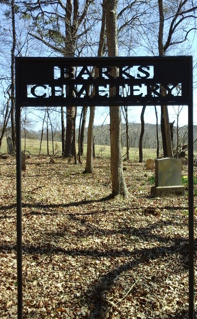
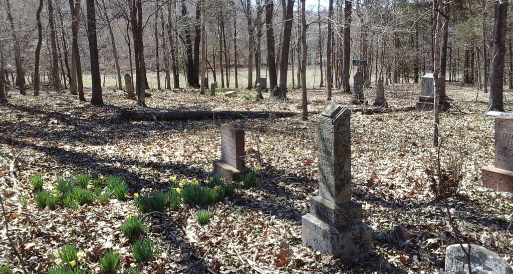
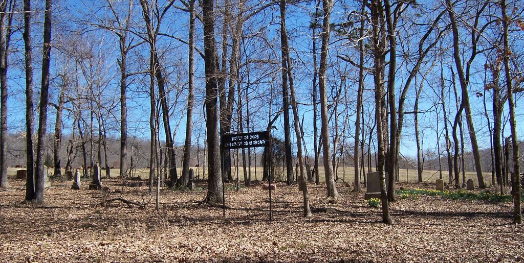
| Memorials | : | 0 |
| Location | : | Marble Hill, Bollinger County, USA |
| Coordinate | : | 37.3506012, -89.9494019 |
frequently asked questions (FAQ):
-
Where is Barks Cemetery?
Barks Cemetery is located at Marble Hill, Bollinger County ,Missouri ,USA.
-
Barks Cemetery cemetery's updated grave count on graveviews.com?
0 memorials
-
Where are the coordinates of the Barks Cemetery?
Latitude: 37.3506012
Longitude: -89.9494019
Nearby Cemetories:
1. Burton Cemetery
Marble Hill, Bollinger County, USA
Coordinate: 37.3722000, -89.9697037
2. Mount Zion Cemetery
Scopus, Bollinger County, USA
Coordinate: 37.3815575, -89.9451447
3. Buehler Cemetery
Glenallen, Bollinger County, USA
Coordinate: 37.3466988, -89.9989014
4. Chostner Cemetery
Scopus, Bollinger County, USA
Coordinate: 37.3857994, -89.9263992
5. Formway Cemetery
Bollinger County, USA
Coordinate: 37.3166900, -89.9165400
6. Hahn Chapel Cemetery
Marble Hill, Bollinger County, USA
Coordinate: 37.3061638, -89.9492645
7. Bess Cemetery
Hurricane, Bollinger County, USA
Coordinate: 37.3807983, -89.9927979
8. El Nathan Cemetery
Marble Hill, Bollinger County, USA
Coordinate: 37.3086710, -89.9757960
9. Bailey Cemetery
Huskey, Bollinger County, USA
Coordinate: 37.3274994, -89.8957977
10. Marble Hill Cemetery
Marble Hill, Bollinger County, USA
Coordinate: 37.3032799, -89.9701309
11. Coles Cemetery
Bollinger County, USA
Coordinate: 37.4021988, -89.9447021
12. Wallis Cemetery
Hurricane, Bollinger County, USA
Coordinate: 37.3800011, -90.0081024
13. Shrum Cemetery
Hurricane, Bollinger County, USA
Coordinate: 37.3751500, -90.0144800
14. Myers Cemetery
Glenallen, Bollinger County, USA
Coordinate: 37.3171997, -90.0096970
15. Cook Cemetery
Scopus, Bollinger County, USA
Coordinate: 37.4033012, -89.9156036
16. Slaybaugh Cemetery
Lutesville, Bollinger County, USA
Coordinate: 37.2982150, -89.9851870
17. Lincoln Cemetery
Hurricane, Bollinger County, USA
Coordinate: 37.3955994, -90.0010986
18. Lessley Ridge Cemetery
Huskey, Bollinger County, USA
Coordinate: 37.3531075, -89.8720474
19. Plainview Cemetery
Hurricane, Bollinger County, USA
Coordinate: 37.3914452, -90.0123291
20. Lower Deck Cemetery
Lutesville, Bollinger County, USA
Coordinate: 37.3078003, -90.0119019
21. Hahn Cemetery
Lutesville, Bollinger County, USA
Coordinate: 37.2886009, -89.9772034
22. Crader Cemetery
Huskey, Bollinger County, USA
Coordinate: 37.3280983, -89.8711014
23. Mountain View Cemetery
Bollinger County, USA
Coordinate: 37.4157982, -89.9738998
24. Shell Cemetery
Lutesville, Bollinger County, USA
Coordinate: 37.2839012, -89.9693985