
| Memorials | : | 0 |
| Location | : | Scopus, Bollinger County, USA |
| Coordinate | : | 37.3857994, -89.9263992 |
frequently asked questions (FAQ):
-
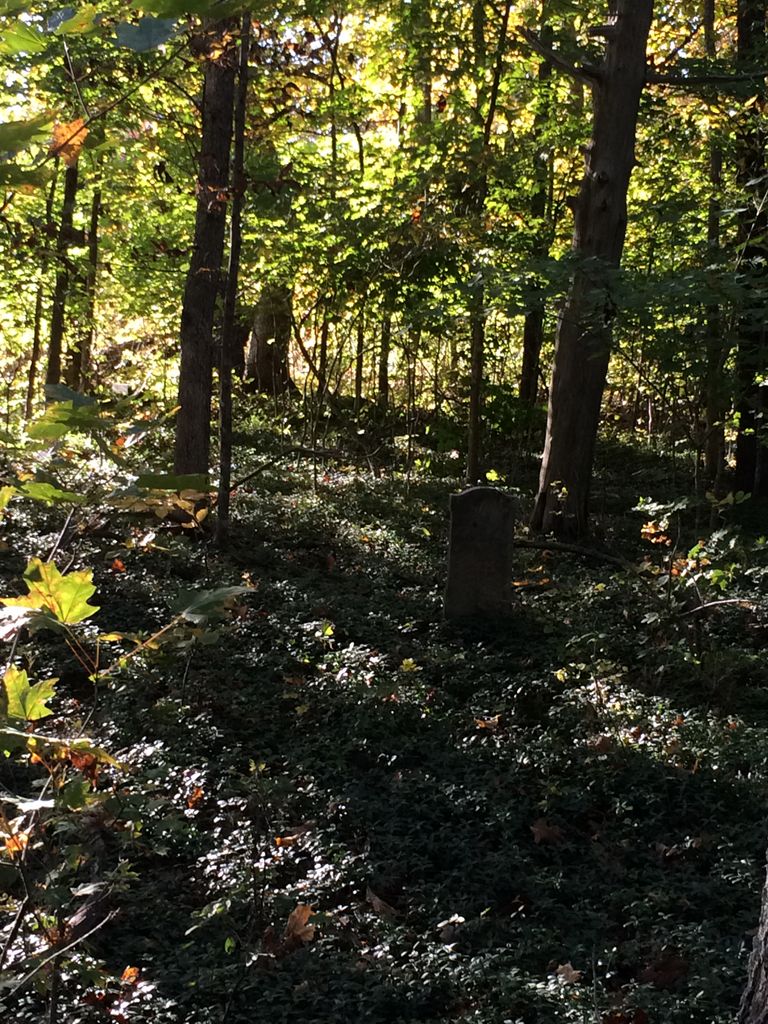
Where is Chostner Cemetery?
Chostner Cemetery is located at Scopus, Bollinger County ,Missouri ,USA.
-
Chostner Cemetery cemetery's updated grave count on graveviews.com?
0 memorials
-
Where are the coordinates of the Chostner Cemetery?
Latitude: 37.3857994
Longitude: -89.9263992
Nearby Cemetories:
1. Mount Zion Cemetery
Scopus, Bollinger County, USA
Coordinate: 37.3815575, -89.9451447
2. Cook Cemetery
Scopus, Bollinger County, USA
Coordinate: 37.4033012, -89.9156036
3. Coles Cemetery
Bollinger County, USA
Coordinate: 37.4021988, -89.9447021
4. Old Pulliam-Judge Long Cemetery
Bollinger County, USA
Coordinate: 37.4207993, -89.9372025
5. Burton Cemetery
Marble Hill, Bollinger County, USA
Coordinate: 37.3722000, -89.9697037
6. Barks Cemetery
Marble Hill, Bollinger County, USA
Coordinate: 37.3506012, -89.9494019
7. James Cemetery
Scopus, Bollinger County, USA
Coordinate: 37.4291992, -89.9297028
8. Limbaugh Cemetery
Scopus, Bollinger County, USA
Coordinate: 37.4085999, -89.8788986
9. Holt Cemetery
Scopus, Bollinger County, USA
Coordinate: 37.4258003, -89.8996964
10. Mountain View Cemetery
Bollinger County, USA
Coordinate: 37.4157982, -89.9738998
11. Bess Cemetery
Hurricane, Bollinger County, USA
Coordinate: 37.3807983, -89.9927979
12. Pulliam Cemetery
Mayfield, Bollinger County, USA
Coordinate: 37.4397011, -89.9225006
13. Lessley Ridge Cemetery
Huskey, Bollinger County, USA
Coordinate: 37.3531075, -89.8720474
14. Gravel Hill Cemetery
Cape Girardeau, Cape Girardeau County, USA
Coordinate: 37.3689003, -89.8582993
15. Lincoln Cemetery
Hurricane, Bollinger County, USA
Coordinate: 37.3955994, -90.0010986
16. Fairview United Methodist Church Cemetery
Millersville, Cape Girardeau County, USA
Coordinate: 37.3994827, -89.8512573
17. Bailey Cemetery
Huskey, Bollinger County, USA
Coordinate: 37.3274994, -89.8957977
18. Wallis Cemetery
Hurricane, Bollinger County, USA
Coordinate: 37.3800011, -90.0081024
19. Plainview Cemetery
Hurricane, Bollinger County, USA
Coordinate: 37.3914452, -90.0123291
20. Haynes Chapel Congregational Church Cemetery
Burfordville, Cape Girardeau County, USA
Coordinate: 37.3868900, -89.8397700
21. Formway Cemetery
Bollinger County, USA
Coordinate: 37.3166900, -89.9165400
22. Buehler Cemetery
Glenallen, Bollinger County, USA
Coordinate: 37.3466988, -89.9989014
23. Hartle Cemetery
Scopus, Bollinger County, USA
Coordinate: 37.4347000, -89.8632965
24. Shrum Cemetery
Hurricane, Bollinger County, USA
Coordinate: 37.3751500, -90.0144800