| Memorials | : | 1 |
| Location | : | Scopus, Bollinger County, USA |
| Coordinate | : | 37.3815575, -89.9451447 |
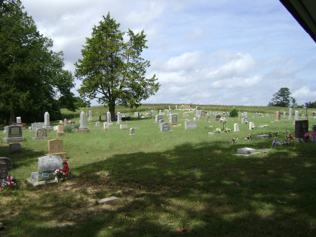
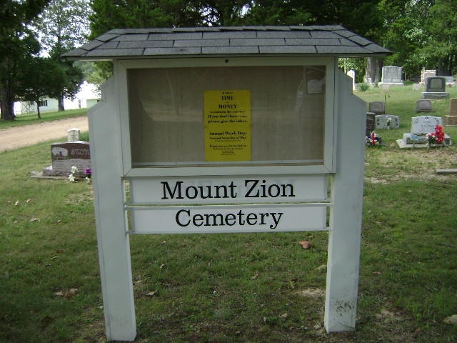
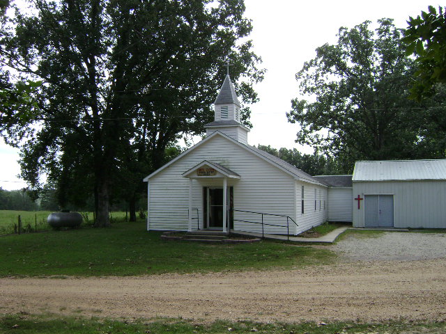
| Description | : | The cemetery is on land donated by John Hopkins, from his farm about two miles south of Scopus. John Hopkins (died 1877) was the first person buried in the cemetery. The cemetery was originally known as the JOHN HOPKINS CEMETERY. In 1936 land was donated by Elmer and Alma Schrock, to increase the size of the cemetery. In September 1971 David Burns and Fern Graves donated land to further enlarge the cemetery. About 1905 a new structure was built for Mount Zion General Baptist Church. The church was relocated from the Hog Creek area, where it had been established in 1852, to near the John... Read More |
frequently asked questions (FAQ):
-
Where is Mount Zion Cemetery?
Mount Zion Cemetery is located at Scopus, Bollinger County ,Missouri ,USA.
-
Mount Zion Cemetery cemetery's updated grave count on graveviews.com?
1 memorials
-
Where are the coordinates of the Mount Zion Cemetery?
Latitude: 37.3815575
Longitude: -89.9451447
Nearby Cemetories:
1. Chostner Cemetery
Scopus, Bollinger County, USA
Coordinate: 37.3857994, -89.9263992
2. Coles Cemetery
Bollinger County, USA
Coordinate: 37.4021988, -89.9447021
3. Burton Cemetery
Marble Hill, Bollinger County, USA
Coordinate: 37.3722000, -89.9697037
4. Barks Cemetery
Marble Hill, Bollinger County, USA
Coordinate: 37.3506012, -89.9494019
5. Cook Cemetery
Scopus, Bollinger County, USA
Coordinate: 37.4033012, -89.9156036
6. Bess Cemetery
Hurricane, Bollinger County, USA
Coordinate: 37.3807983, -89.9927979
7. Old Pulliam-Judge Long Cemetery
Bollinger County, USA
Coordinate: 37.4207993, -89.9372025
8. Mountain View Cemetery
Bollinger County, USA
Coordinate: 37.4157982, -89.9738998
9. Lincoln Cemetery
Hurricane, Bollinger County, USA
Coordinate: 37.3955994, -90.0010986
10. James Cemetery
Scopus, Bollinger County, USA
Coordinate: 37.4291992, -89.9297028
11. Wallis Cemetery
Hurricane, Bollinger County, USA
Coordinate: 37.3800011, -90.0081024
12. Plainview Cemetery
Hurricane, Bollinger County, USA
Coordinate: 37.3914452, -90.0123291
13. Buehler Cemetery
Glenallen, Bollinger County, USA
Coordinate: 37.3466988, -89.9989014
14. Shrum Cemetery
Hurricane, Bollinger County, USA
Coordinate: 37.3751500, -90.0144800
15. Holt Cemetery
Scopus, Bollinger County, USA
Coordinate: 37.4258003, -89.8996964
16. Limbaugh Cemetery
Scopus, Bollinger County, USA
Coordinate: 37.4085999, -89.8788986
17. Pulliam Cemetery
Mayfield, Bollinger County, USA
Coordinate: 37.4397011, -89.9225006
18. Lessley Ridge Cemetery
Huskey, Bollinger County, USA
Coordinate: 37.3531075, -89.8720474
19. Bailey Cemetery
Huskey, Bollinger County, USA
Coordinate: 37.3274994, -89.8957977
20. Hurricane Fork Cemetery
Hurricane, Bollinger County, USA
Coordinate: 37.4186668, -90.0178833
21. Formway Cemetery
Bollinger County, USA
Coordinate: 37.3166900, -89.9165400
22. Gravel Hill Cemetery
Cape Girardeau, Cape Girardeau County, USA
Coordinate: 37.3689003, -89.8582993
23. Hahn Chapel Cemetery
Marble Hill, Bollinger County, USA
Coordinate: 37.3061638, -89.9492645
24. Fairview United Methodist Church Cemetery
Millersville, Cape Girardeau County, USA
Coordinate: 37.3994827, -89.8512573


