
| Memorials | : | 4 |
| Location | : | Strafford, Greene County, USA |
| Coordinate | : | 37.3458980, -93.1323790 |
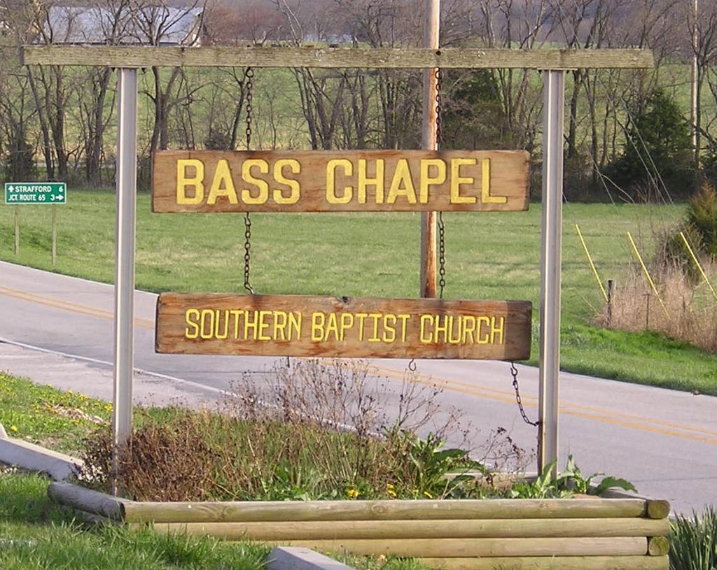
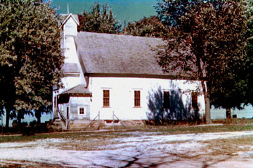
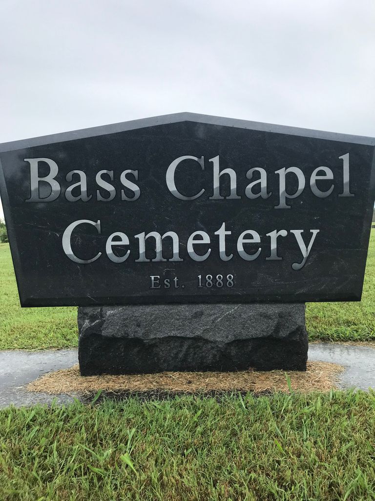
| Description | : | Bass Chapel Cemetery located 6 miles north of Strafford, Greene, Missouri. On Route 125. The earlier graves on the north side of the cemetery next to the church with a drive separating them. Sampson Bass wanted to establish a family burial ground on his land and he deeded a tract of land in 1888 and in 1918 he and his wife Eliza deeded another tract of land adjacent to the original tract. It was once a small village called Bassville, now called Bass Chapel Cemetery. It is located in Jackson Township. |
frequently asked questions (FAQ):
-
Where is Bass Chapel Cemetery?
Bass Chapel Cemetery is located at 8417 North State Highway 125 Strafford, Greene County ,Missouri ,USA.
-
Bass Chapel Cemetery cemetery's updated grave count on graveviews.com?
4 memorials
-
Where are the coordinates of the Bass Chapel Cemetery?
Latitude: 37.3458980
Longitude: -93.1323790
Nearby Cemetories:
1. Fair Grove First Baptist Church
Fair Grove, Greene County, USA
Coordinate: 37.3798500, -93.1507800
2. Cedar Bluff Cemetery
Fair Grove, Greene County, USA
Coordinate: 37.3771706, -93.1040878
3. Old Fair Grove Cemetery
Fair Grove, Greene County, USA
Coordinate: 37.3820648, -93.1525116
4. Elm Spring Cemetery
Greene County, USA
Coordinate: 37.3427600, -93.1849600
5. Elm Springs Cemetery
Greene County, USA
Coordinate: 37.3426674, -93.1851045
6. Dishman Cemetery
Strafford, Greene County, USA
Coordinate: 37.2997017, -93.1258011
7. Liberty Cemetery
Springfield, Greene County, USA
Coordinate: 37.3192000, -93.1993900
8. Pleasant Ridge Cemetery
Fair Grove, Greene County, USA
Coordinate: 37.4144300, -93.1230800
9. Bumgarner-Keiser Cemetery
Strafford, Greene County, USA
Coordinate: 37.2670580, -93.1217560
10. Potter Family Cemetery
Strafford, Greene County, USA
Coordinate: 37.2656517, -93.1362610
11. Willis Cemetery
Greene County, USA
Coordinate: 37.2757988, -93.0785980
12. Mullinax Cemetery
Strafford, Greene County, USA
Coordinate: 37.2647018, -93.1031036
13. Old Salem Cemetery
Springfield, Greene County, USA
Coordinate: 37.3558006, -93.2380981
14. Union Grove Cemetery #2
Goodnight, Polk County, USA
Coordinate: 37.4240260, -93.1914420
15. Mount Comfort Cemetery
Springfield, Greene County, USA
Coordinate: 37.3250010, -93.2475450
16. Caldwell Cemetery
Strafford, Greene County, USA
Coordinate: 37.2619019, -93.0717010
17. Danforth Family Cemetery
Strafford, Greene County, USA
Coordinate: 37.2403000, -93.1480000
18. Mallard Cemetery
March, Dallas County, USA
Coordinate: 37.4538994, -93.1430969
19. Olive Free Will Chapel Cemetery
Olive, Dallas County, USA
Coordinate: 37.4556600, -93.1174000
20. Danforth Cemetery
Strafford, Greene County, USA
Coordinate: 37.2368850, -93.1554670
21. Union Campground Cemetery
Springfield, Greene County, USA
Coordinate: 37.2609400, -93.2234000
22. Bellview Cemetery
Springfield, Greene County, USA
Coordinate: 37.2880287, -93.2539215
23. Potter Cemetery
Springfield, Greene County, USA
Coordinate: 37.2317009, -93.1271973
24. New Hope Cemetery
Fruitland, Greene County, USA
Coordinate: 37.4006004, -93.2589035