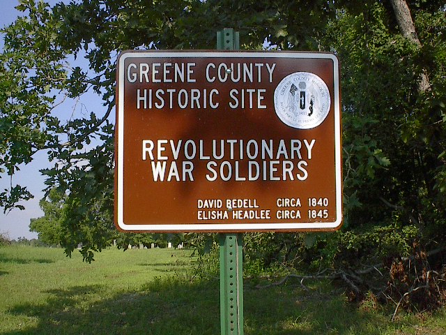
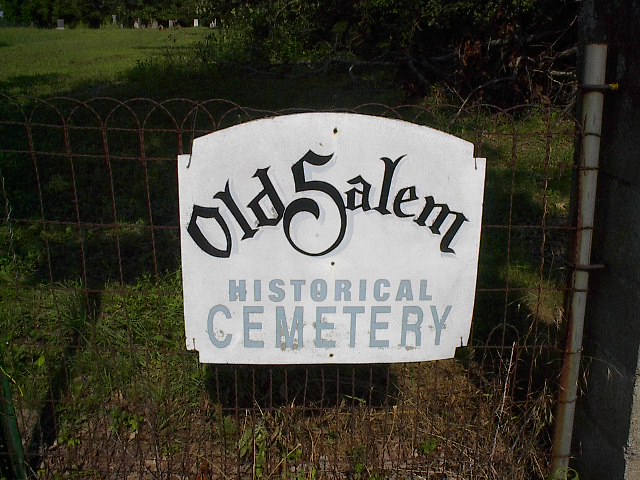
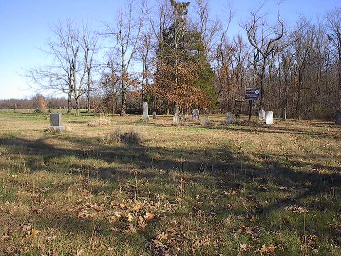
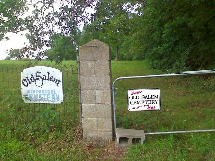
| Memorials | : | 0 |
| Location | : | Springfield, Greene County, USA |
| Coordinate | : | 37.3558006, -93.2380981 |
| Description | : | According to the property owner, several of the stones have been stolen. These stones were noted in previous transcriptions,news paper abstracts, and word of mouth. |
frequently asked questions (FAQ):
-
Where is Old Salem Cemetery?
Old Salem Cemetery is located at Springfield, Greene County ,Missouri ,USA.
-
Old Salem Cemetery cemetery's updated grave count on graveviews.com?
0 memorials
-
Where are the coordinates of the Old Salem Cemetery?
Latitude: 37.3558006
Longitude: -93.2380981
Nearby Cemetories:
1. Mount Comfort Cemetery
Springfield, Greene County, USA
Coordinate: 37.3250010, -93.2475450
2. Elm Springs Cemetery
Greene County, USA
Coordinate: 37.3426674, -93.1851045
3. Elm Spring Cemetery
Greene County, USA
Coordinate: 37.3427600, -93.1849600
4. New Hope Cemetery
Fruitland, Greene County, USA
Coordinate: 37.4006004, -93.2589035
5. Liberty Cemetery
Springfield, Greene County, USA
Coordinate: 37.3192000, -93.1993900
6. Bellview Cemetery
Springfield, Greene County, USA
Coordinate: 37.2880287, -93.2539215
7. Old Fair Grove Cemetery
Fair Grove, Greene County, USA
Coordinate: 37.3820648, -93.1525116
8. Fair Grove First Baptist Church
Fair Grove, Greene County, USA
Coordinate: 37.3798500, -93.1507800
9. Union Grove Cemetery #2
Goodnight, Polk County, USA
Coordinate: 37.4240260, -93.1914420
10. Robberson Prairie Cemetery
Ebenezer, Greene County, USA
Coordinate: 37.3522600, -93.3366900
11. Mullings Family Cemetery
Greene County, USA
Coordinate: 37.3111110, -93.3197520
12. Bass Chapel Cemetery
Strafford, Greene County, USA
Coordinate: 37.3458980, -93.1323790
13. Burdett-Cavin Cemetery
Polk County, USA
Coordinate: 37.4440000, -93.2390000
14. Tiller Cemetery
Pleasant Hope, Polk County, USA
Coordinate: 37.4486008, -93.2613983
15. Banfield Cemetery
Greene County, USA
Coordinate: 37.2779400, -93.3071900
16. Union Campground Cemetery
Springfield, Greene County, USA
Coordinate: 37.2609400, -93.2234000
17. Greenlawn Memorial Gardens
Springfield, Greene County, USA
Coordinate: 37.2611008, -93.2750015
18. Wilson Cemetery
Robberson Number 2 Township, Greene County, USA
Coordinate: 37.2894530, -93.3388070
19. Sac River Cemetery AKA Slave Cemetery
Robberson Number 2 Township, Greene County, USA
Coordinate: 37.2898990, -93.3398060
20. Dishman Cemetery
Strafford, Greene County, USA
Coordinate: 37.2997017, -93.1258011
21. Mayfield Cemetery
Tin Town, Polk County, USA
Coordinate: 37.4601800, -93.2076400
22. Pleasant Ridge Cemetery
Fair Grove, Greene County, USA
Coordinate: 37.4144300, -93.1230800
23. Cedar Bluff Cemetery
Fair Grove, Greene County, USA
Coordinate: 37.3771706, -93.1040878
24. Hancock-Morton-Westmoreland Cemetery
Greene County, USA
Coordinate: 37.2489014, -93.2133026

