
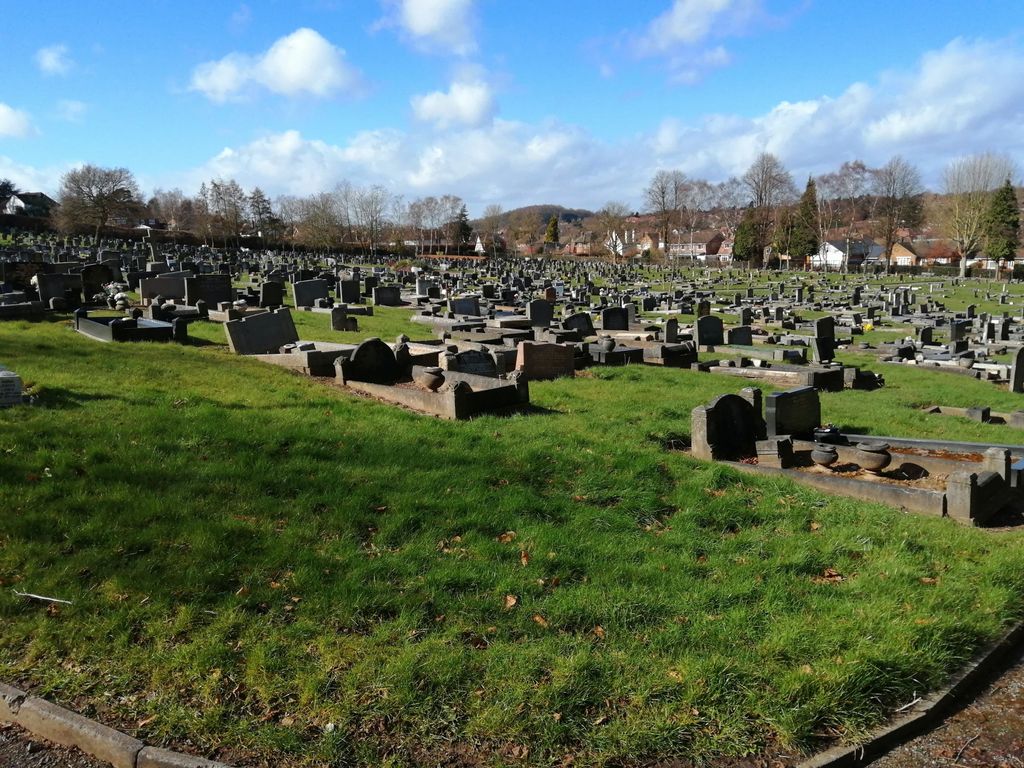
| Memorials | : | 4 |
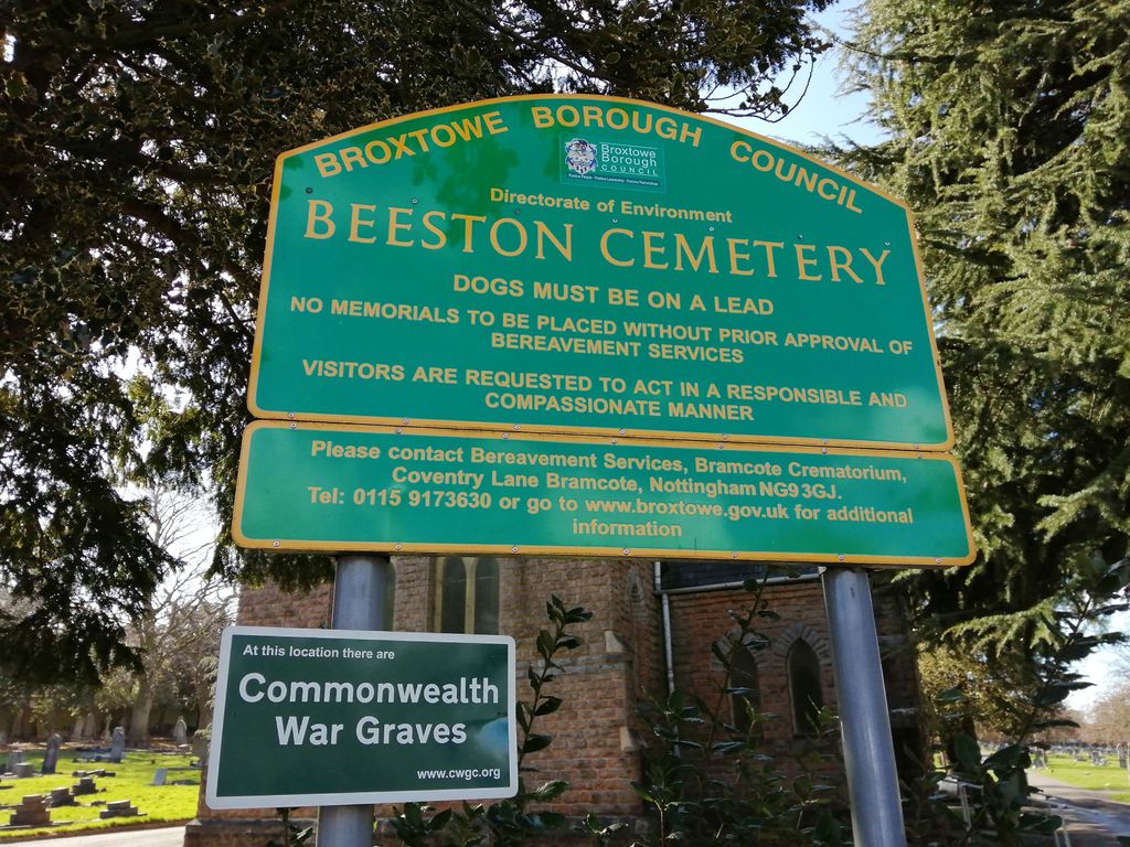
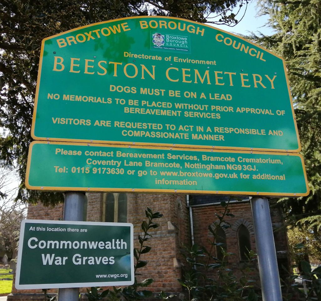
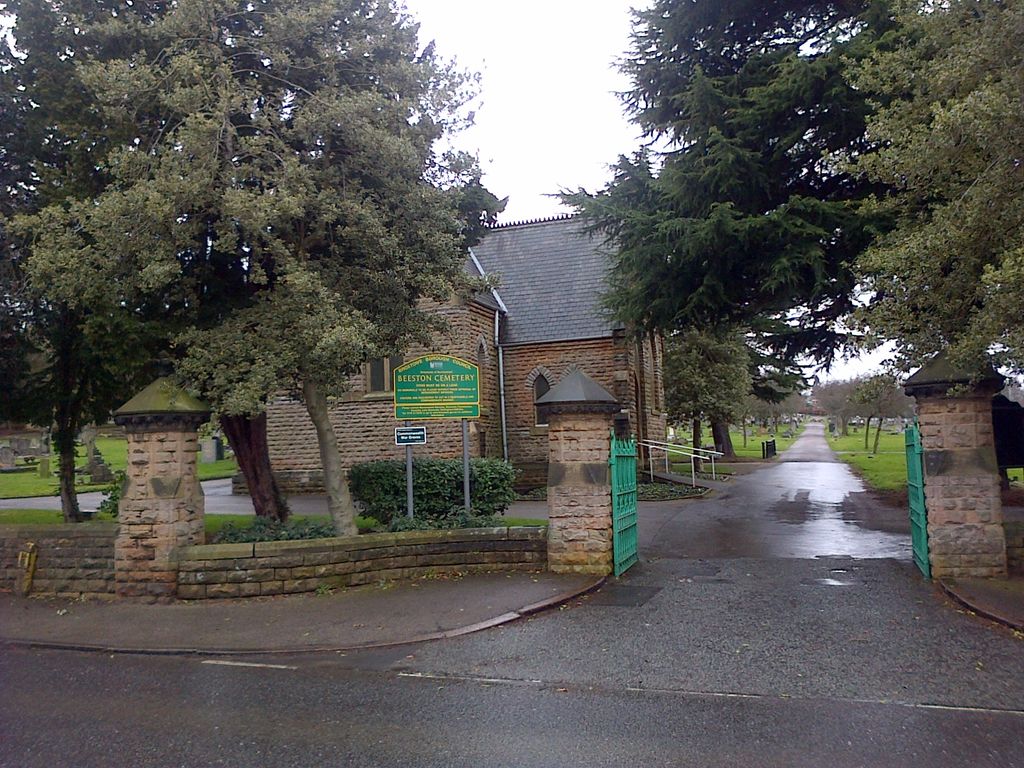
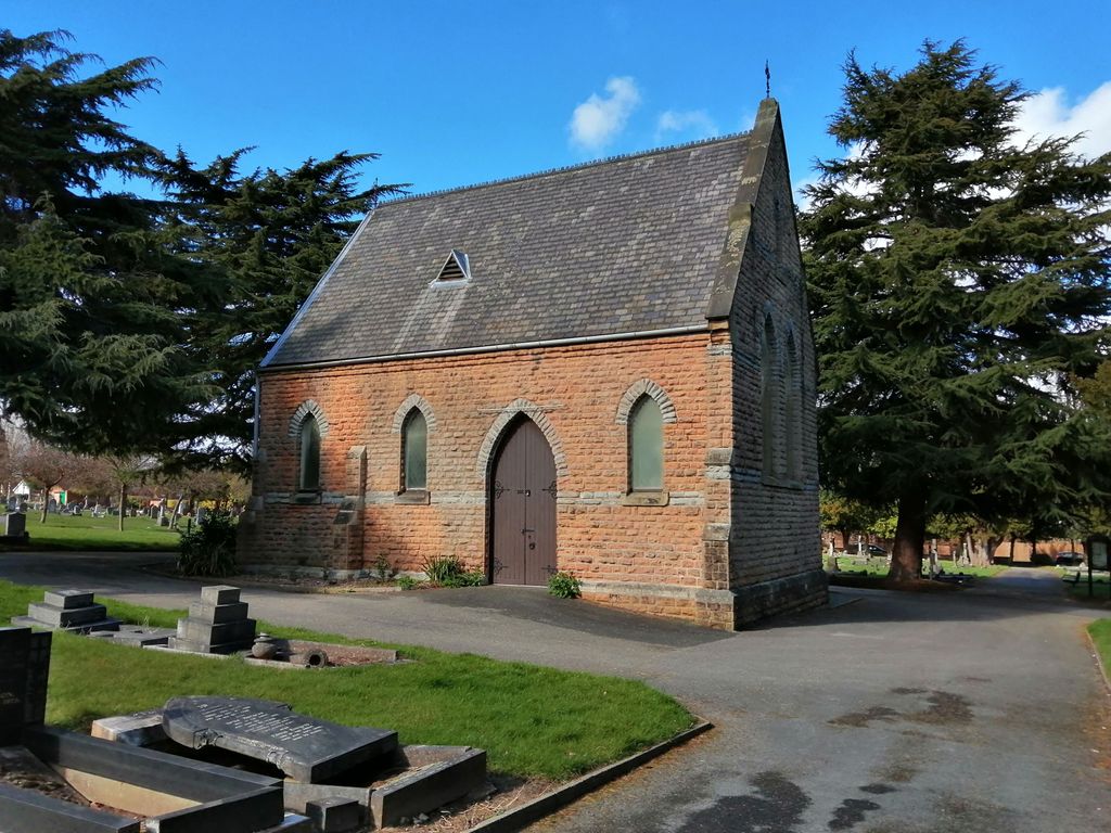
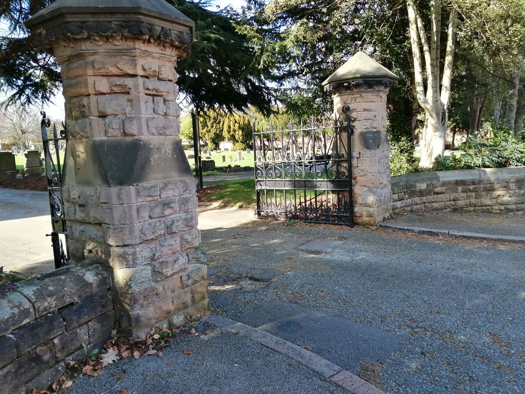
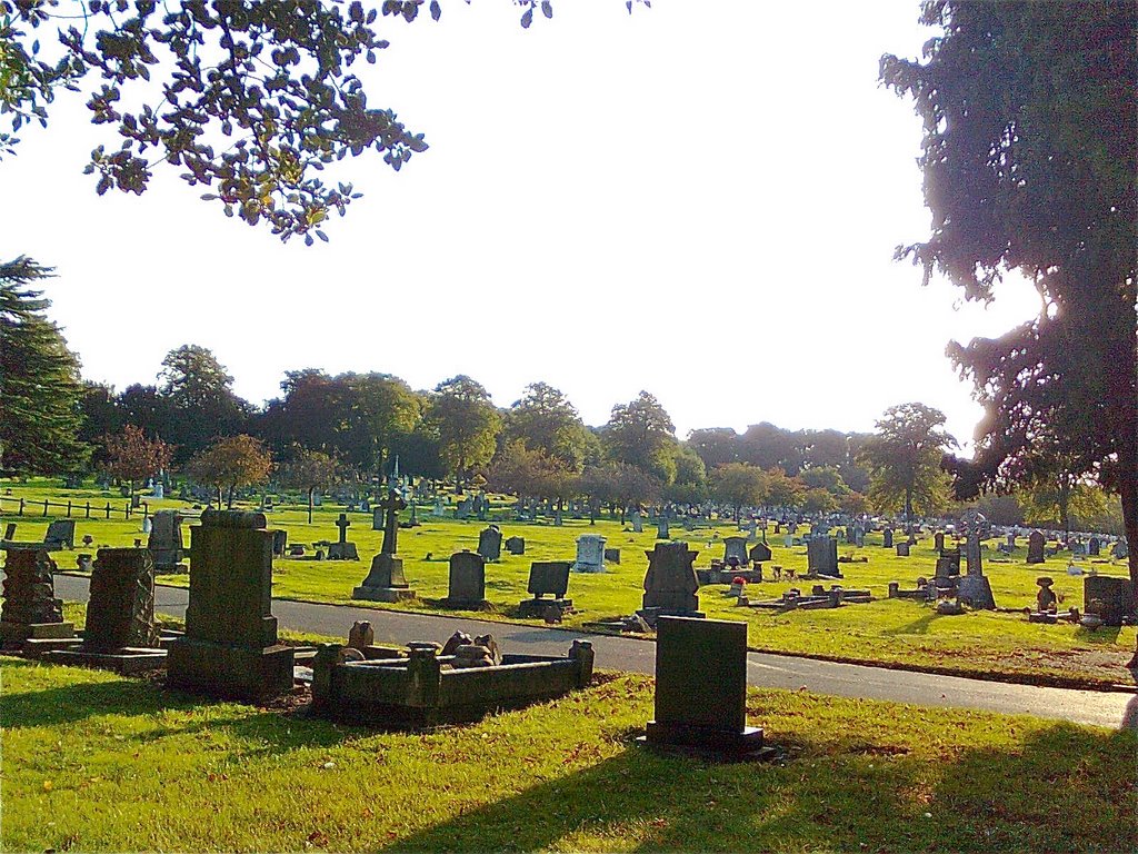
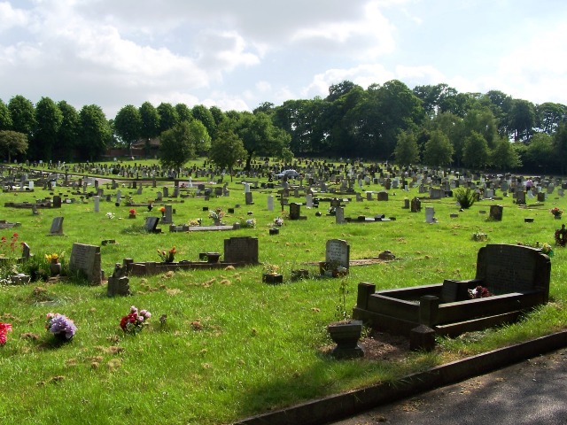
| Location | : | Beeston, Broxtowe Borough, England |
| Coordinate | : | 52.9354540, -1.2275310 |
frequently asked questions (FAQ):
-
Where is Beeston Cemetery?
Beeston Cemetery is located at Wollaton Road Beeston, Broxtowe Borough ,Nottinghamshire ,England.
-
Beeston Cemetery cemetery's updated grave count on graveviews.com?
4 memorials
-
Where are the coordinates of the Beeston Cemetery?
Latitude: 52.9354540
Longitude: -1.2275310
Nearby Cemetories:
1. St. Michael and All Angels Churchyard
Bramcote, Broxtowe Borough, England
Coordinate: 52.9352531, -1.2463690
2. St. John the Baptist Churchyard
Beeston, Broxtowe Borough, England
Coordinate: 52.9255562, -1.2167680
3. Beeston Baptist Chapel
Beeston, Broxtowe Borough, England
Coordinate: 52.9246600, -1.2122000
4. Wollaton Cemetery
Wollaton, Nottingham Unitary Authority, England
Coordinate: 52.9503000, -1.2260800
5. St. Leonard's Churchyard
Wollaton, Nottingham Unitary Authority, England
Coordinate: 52.9529790, -1.2200830
6. Bramcote Crematorium
Beeston, Broxtowe Borough, England
Coordinate: 52.9456300, -1.2555100
7. Chilwell Cemetery
Nottingham, Nottingham Unitary Authority, England
Coordinate: 52.9164070, -1.2430800
8. Stapleford Cemetery
Stapleford, Broxtowe Borough, England
Coordinate: 52.9299770, -1.2699190
9. St. Helen's Churchyard
Stapleford, Broxtowe Borough, England
Coordinate: 52.9316670, -1.2744440
10. St Mary's Church Attenborough
Beeston, Broxtowe Borough, England
Coordinate: 52.9039568, -1.2302235
11. St Mary's Churchyard
Clifton, Nottingham Unitary Authority, England
Coordinate: 52.9083870, -1.1965435
12. Holy Trinity Churchyard
Lenton, Nottingham Unitary Authority, England
Coordinate: 52.9485630, -1.1753148
13. St. Helen's Churchyard
Trowell, Broxtowe Borough, England
Coordinate: 52.9528120, -1.2815590
14. St. Peter Churchyard Old Radford
Nottingham, Nottingham Unitary Authority, England
Coordinate: 52.9601830, -1.1789620
15. All Saints Church
Strelley, Broxtowe Borough, England
Coordinate: 52.9737900, -1.2470340
16. Wilford Village Cemetery
Wilford, Nottingham Unitary Authority, England
Coordinate: 52.9338540, -1.1591170
17. St. Wilfrid Churchyard
Wilford, Nottingham Unitary Authority, England
Coordinate: 52.9346290, -1.1587770
18. General Cemetery
Nottingham, Nottingham Unitary Authority, England
Coordinate: 52.9561430, -1.1615420
19. Hardy Street Jewish Cemetery
Nottingham, Nottingham Unitary Authority, England
Coordinate: 52.9619500, -1.1665900
20. St. Laurence Churchyard
Long Eaton, Erewash Borough, England
Coordinate: 52.8985000, -1.2710000
21. Nottingham General Cemetery
Nottingham, Nottingham Unitary Authority, England
Coordinate: 52.9575370, -1.1594236
22. Cathedral Church of St. Barnabas
Nottingham, Nottingham Unitary Authority, England
Coordinate: 52.9546750, -1.1570460
23. Long Eaton Cemetery
Long Eaton, Erewash Borough, England
Coordinate: 52.8986580, -1.2785390
24. St Nicholas Churchyard
Nottingham, Nottingham Unitary Authority, England
Coordinate: 52.9504780, -1.1509220