
| Memorials | : | 0 |
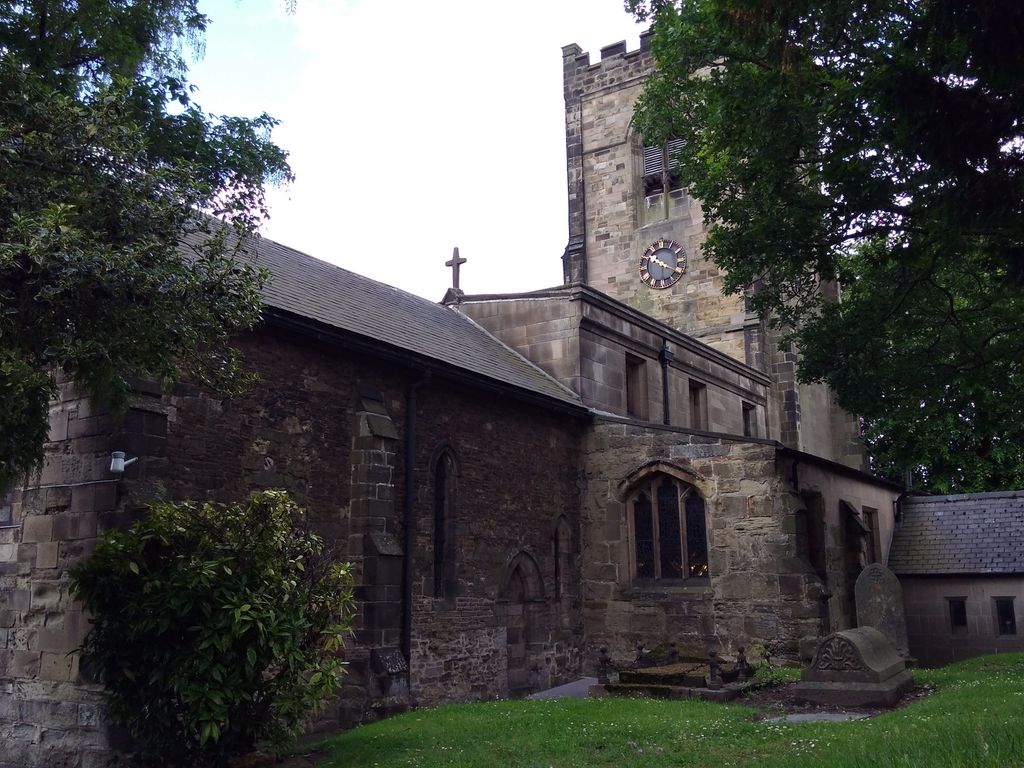
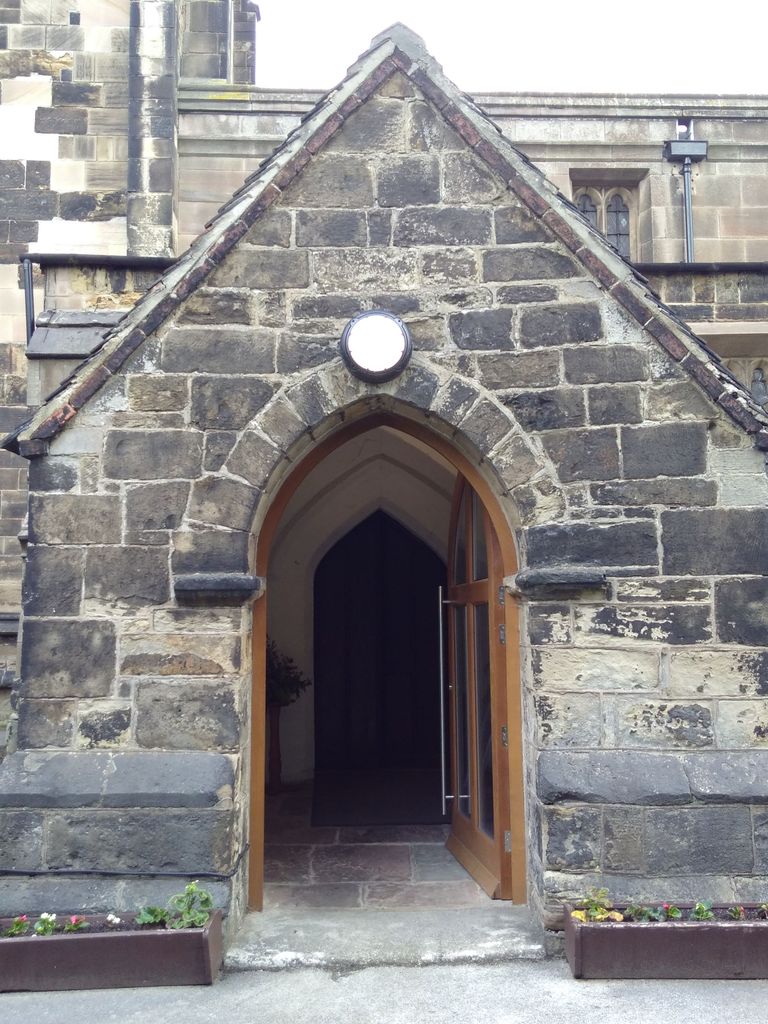
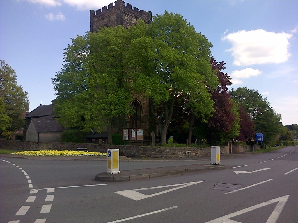
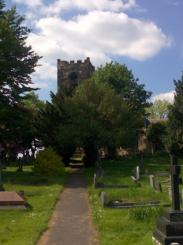
| Location | : | Trowell, Broxtowe Borough, England |
| Coordinate | : | 52.9528120, -1.2815590 |
frequently asked questions (FAQ):
-
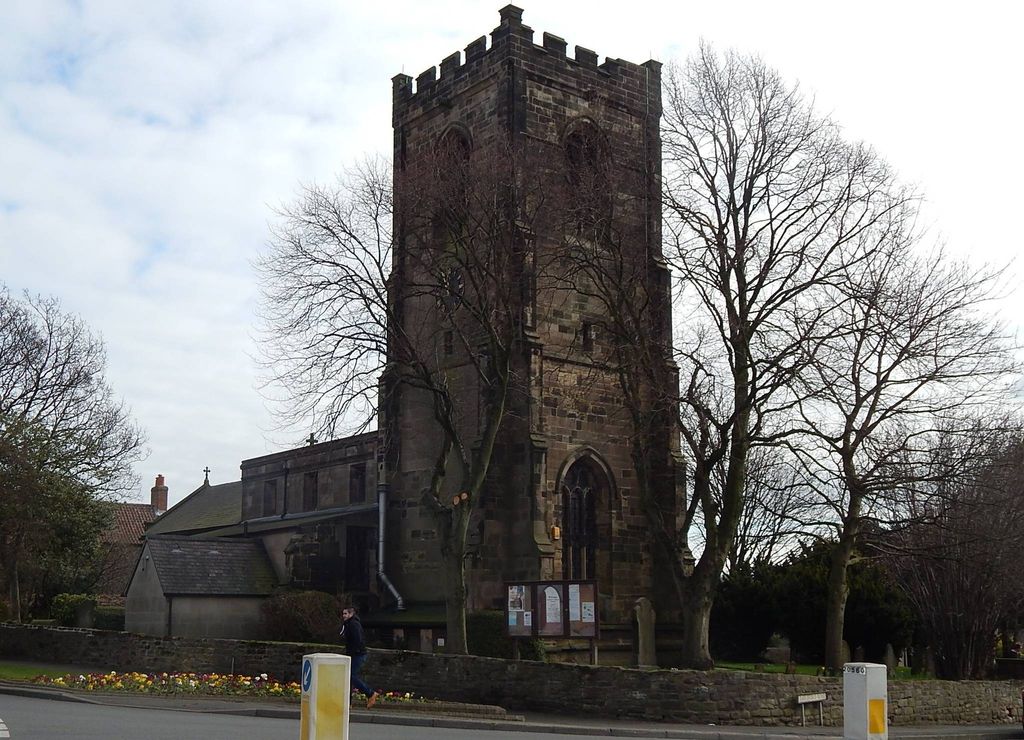
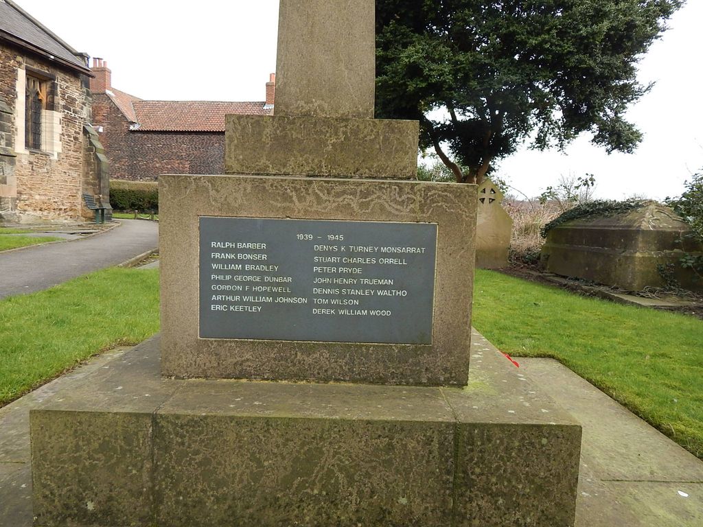
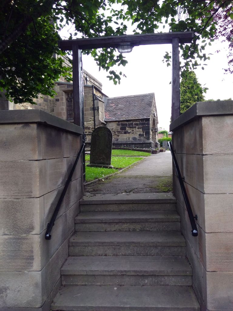
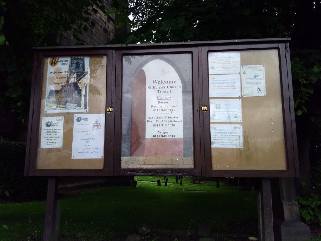
Where is St. Helen's Churchyard?
St. Helen's Churchyard is located at 47 Nottingham Rd Trowell, Broxtowe Borough ,Nottinghamshire , NG9 3PFEngland.
-
St. Helen's Churchyard cemetery's updated grave count on graveviews.com?
0 memorials
-
Where are the coordinates of the St. Helen's Churchyard?
Latitude: 52.9528120
Longitude: -1.2815590
Nearby Cemetories:
1. Bramcote Crematorium
Beeston, Broxtowe Borough, England
Coordinate: 52.9456300, -1.2555100
2. Ilkeston Stanton Road
Ilkeston, Erewash Borough, England
Coordinate: 52.9645800, -1.3077120
3. St. Helen's Churchyard
Stapleford, Broxtowe Borough, England
Coordinate: 52.9316670, -1.2744440
4. Park Cemetery
Ilkeston, Erewash Borough, England
Coordinate: 52.9714000, -1.3006350
5. All Saints
Kirk Hallam, Erewash Borough, England
Coordinate: 52.9602950, -1.3188150
6. Stapleford Cemetery
Stapleford, Broxtowe Borough, England
Coordinate: 52.9299770, -1.2699190
7. St. Michael and All Angels Churchyard
Bramcote, Broxtowe Borough, England
Coordinate: 52.9352531, -1.2463690
8. All Saints Church
Strelley, Broxtowe Borough, England
Coordinate: 52.9737900, -1.2470340
9. Wollaton Cemetery
Wollaton, Nottingham Unitary Authority, England
Coordinate: 52.9503000, -1.2260800
10. Beeston Cemetery
Beeston, Broxtowe Borough, England
Coordinate: 52.9354540, -1.2275310
11. St. Leonard's Churchyard
Wollaton, Nottingham Unitary Authority, England
Coordinate: 52.9529790, -1.2200830
12. All Saints Risley Churchyard
Risley, Erewash Borough, England
Coordinate: 52.9164000, -1.3158000
13. Chilwell Cemetery
Nottingham, Nottingham Unitary Authority, England
Coordinate: 52.9164070, -1.2430800
14. St. John the Baptist Churchyard
Beeston, Broxtowe Borough, England
Coordinate: 52.9255562, -1.2167680
15. St. Wilfrid Churchyard
West Hallam, Erewash Borough, England
Coordinate: 52.9656640, -1.3579720
16. Beeston Baptist Chapel
Beeston, Broxtowe Borough, England
Coordinate: 52.9246600, -1.2122000
17. Holy Trinity Churchyard
Mapperley, Amber Valley Borough, England
Coordinate: 52.9818800, -1.3536800
18. Long Eaton Cemetery
Long Eaton, Erewash Borough, England
Coordinate: 52.8986580, -1.2785390
19. St. Laurence Churchyard
Long Eaton, Erewash Borough, England
Coordinate: 52.8985000, -1.2710000
20. St Mary's Church Attenborough
Beeston, Broxtowe Borough, England
Coordinate: 52.9039568, -1.2302235
21. St. Andrew's Churchyard
Stanley, Erewash Borough, England
Coordinate: 52.9594760, -1.3772680
22. St. Michael Churchyard
Breaston, Erewash Borough, England
Coordinate: 52.8969700, -1.3176200
23. Eastwood Cemetery
Eastwood, Broxtowe Borough, England
Coordinate: 53.0115814, -1.3073300
24. St. Peter Churchyard Old Radford
Nottingham, Nottingham Unitary Authority, England
Coordinate: 52.9601830, -1.1789620