
| Memorials | : | 0 |
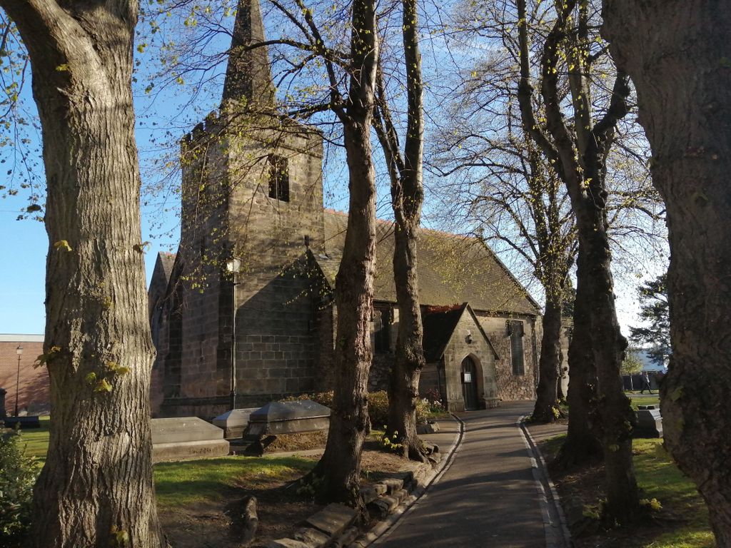
| Location | : | Long Eaton, Erewash Borough, England |
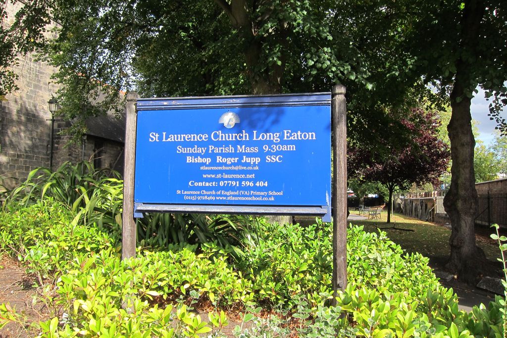
| Phone | : | 07791596404 |
| Website | : | www.st-laurence.net |
| Coordinate | : | 52.8985000, -1.2710000 |
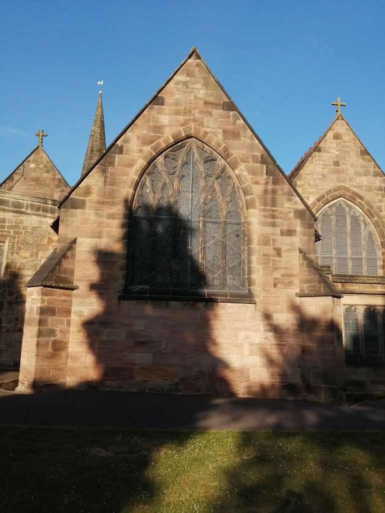
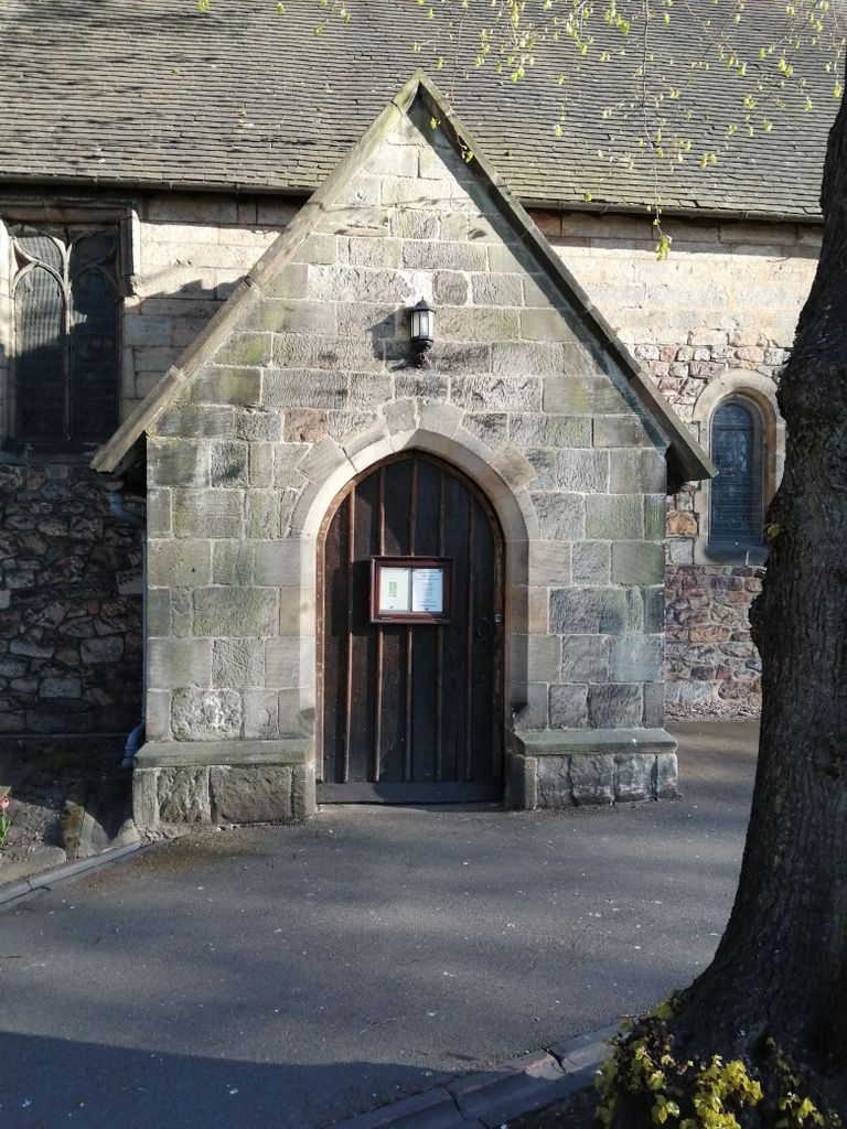
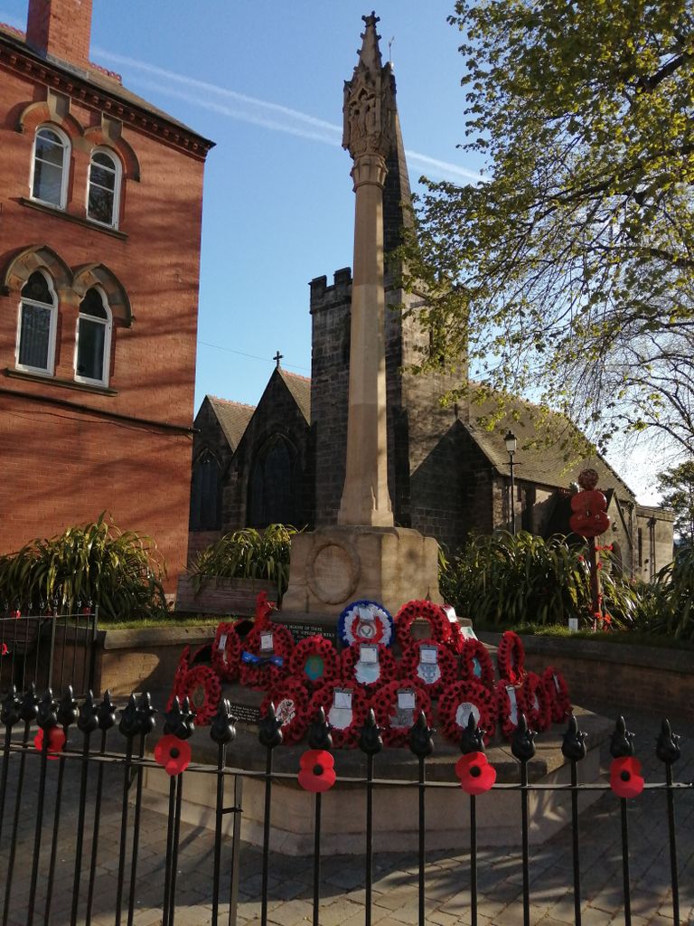
| Description | : | Church of England Parish Church in Long Eaton |
frequently asked questions (FAQ):
-
Where is St. Laurence Churchyard?
St. Laurence Churchyard is located at 24 MarketPlace Long Eaton, Erewash Borough ,Derbyshire , NG10 1LTEngland.
-
St. Laurence Churchyard cemetery's updated grave count on graveviews.com?
0 memorials
-
Where are the coordinates of the St. Laurence Churchyard?
Latitude: 52.8985000
Longitude: -1.2710000


Nearby Cemetories:
1. Long Eaton Cemetery
Long Eaton, Erewash Borough, England
Coordinate: 52.8986580, -1.2785390
2. Chilwell Cemetery
Nottingham, Nottingham Unitary Authority, England
Coordinate: 52.9164070, -1.2430800
3. St Mary's Church Attenborough
Beeston, Broxtowe Borough, England
Coordinate: 52.9039568, -1.2302235
4. Sawley Baptist Churchyard
Sawley, Erewash Borough, England
Coordinate: 52.8799410, -1.3009980
5. All Saints Churchyard
Sawley, Erewash Borough, England
Coordinate: 52.8776016, -1.2995000
6. All Saints Churchyard
Thrumpton, Rushcliffe Borough, England
Coordinate: 52.8755100, -1.2440800
7. St. Michael Churchyard
Breaston, Erewash Borough, England
Coordinate: 52.8969700, -1.3176200
8. Stapleford Cemetery
Stapleford, Broxtowe Borough, England
Coordinate: 52.9299770, -1.2699190
9. All Saints Risley Churchyard
Risley, Erewash Borough, England
Coordinate: 52.9164000, -1.3158000
10. St. Helen's Churchyard
Stapleford, Broxtowe Borough, England
Coordinate: 52.9316670, -1.2744440
11. St. Michael and All Angels Churchyard
Bramcote, Broxtowe Borough, England
Coordinate: 52.9352531, -1.2463690
12. St. John the Baptist Churchyard
Beeston, Broxtowe Borough, England
Coordinate: 52.9255562, -1.2167680
13. Holy Trinity Churchyard
Ratcliffe-on-Soar, Rushcliffe Borough, England
Coordinate: 52.8553380, -1.2665520
14. Beeston Baptist Chapel
Beeston, Broxtowe Borough, England
Coordinate: 52.9246600, -1.2122000
15. Beeston Cemetery
Beeston, Broxtowe Borough, England
Coordinate: 52.9354540, -1.2275310
16. St Mary's Churchyard
Clifton, Nottingham Unitary Authority, England
Coordinate: 52.9083870, -1.1965435
17. Bramcote Crematorium
Beeston, Broxtowe Borough, England
Coordinate: 52.9456300, -1.2555100
18. St. Helen's Churchyard
Trowell, Broxtowe Borough, England
Coordinate: 52.9528120, -1.2815590
19. Saint Nicholas Churchyard
Lockington, North West Leicestershire District, England
Coordinate: 52.8468883, -1.3063910
20. St. Nicholas' Churchyard
Lockington, North West Leicestershire District, England
Coordinate: 52.8468300, -1.3065600
21. St James Churchyard
Shardlow, South Derbyshire District, England
Coordinate: 52.8686280, -1.3508150
22. Wollaton Cemetery
Wollaton, Nottingham Unitary Authority, England
Coordinate: 52.9503000, -1.2260800
23. St. Leonard's Churchyard
Wollaton, Nottingham Unitary Authority, England
Coordinate: 52.9529790, -1.2200830
24. Saint Andrew's Churchyard
Kegworth, North West Leicestershire District, England
Coordinate: 52.8358160, -1.2780850