
| Memorials | : | 1 |
| Location | : | Croxton Kerrial, Melton Borough, England |
| Coordinate | : | 52.8398910, -0.7786310 |
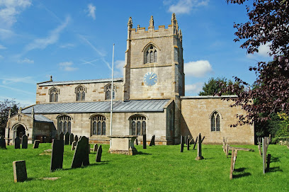
| Description | : | The abbey was dissolved in 1538. There is a private house on the site which contains elements of a monastic building. Otherwise, there are no visible remains. |
frequently asked questions (FAQ):
-
Where is Croxton Abbey?
Croxton Abbey is located at Croxton Kerrial, Melton Borough ,Leicestershire ,England.
-
Croxton Abbey cemetery's updated grave count on graveviews.com?
1 memorials
-
Where are the coordinates of the Croxton Abbey?
Latitude: 52.8398910
Longitude: -0.7786310
Nearby Cemetories:
1. St Botolph & St John Baptist Churchyard
Croxton Kerrial, Melton Borough, England
Coordinate: 52.8565120, -0.7608620
2. St Guthlac Churchyard
Branston, Melton Borough, England
Coordinate: 52.8570750, -0.7988980
3. Stonesby Saltby/Sproxton Road Cemetery
Sproxton, Melton Borough, England
Coordinate: 52.8143880, -0.7731270
4. St Peter's Churchyard
Stonesby, Melton Borough, England
Coordinate: 52.8140000, -0.7805100
5. St Denys Churchyard
Eaton, Melton Borough, England
Coordinate: 52.8530490, -0.8164422
6. St Peter's Churchyard
Saltby, Melton Borough, England
Coordinate: 52.8298400, -0.7378900
7. Eaton Cemetery
Eaton, Melton Borough, England
Coordinate: 52.8544070, -0.8174640
8. St. Mary Magdalene Churchyard
Waltham on the Wolds, Melton Borough, England
Coordinate: 52.8170300, -0.8106600
9. All Saints Churchyard
Knipton, South Kesteven District, England
Coordinate: 52.8711300, -0.7769400
10. St Bartholomew's Churchyard
Sproxton, Melton Borough, England
Coordinate: 52.8150500, -0.7307100
11. St Michael & All Angels Churchyard
Harston, Melton Borough, England
Coordinate: 52.8769700, -0.7556000
12. St. Deny's Churchyard
Goadby Marwood, Melton Borough, England
Coordinate: 52.8293300, -0.8447300
13. St Michael and All Angels Churchyard
Eastwell, Melton Borough, England
Coordinate: 52.8483680, -0.8508990
14. Belvoir Castle
Belvoir, Melton Borough, England
Coordinate: 52.8911170, -0.7855620
15. St Andrew Churchyard
Coston, Melton Borough, England
Coordinate: 52.7905590, -0.7439280
16. St. Guthlac's Churchyard
Stathern, Melton Borough, England
Coordinate: 52.8707708, -0.8528169
17. St James Churchyard
Woolsthorpe-by-Belvoir, South Kesteven District, England
Coordinate: 52.8957880, -0.7578370
18. St Andrew Churchyard
Denton, South Kesteven District, England
Coordinate: 52.8828830, -0.7151840
19. Belvoir Priory
Bottesford, Melton Borough, England
Coordinate: 52.8982090, -0.7825130
20. St Mary Churchyard
Garthorpe, Melton Borough, England
Coordinate: 52.7795740, -0.7685920
21. St Egelwin Churchyard
Scalford, Melton Borough, England
Coordinate: 52.8093250, -0.8694080
22. Scalford Wesleyan Chapelyard
Scalford, Melton Borough, England
Coordinate: 52.8080500, -0.8702700
23. St John the Baptist Churchyard
Buckminster, Melton Borough, England
Coordinate: 52.7981500, -0.6974900
24. St James Churchyard
Skillington, South Kesteven District, England
Coordinate: 52.8231750, -0.6724600