| Memorials | : | 0 |
| Location | : | Fanchon, Howell County, USA |
| Coordinate | : | 36.8025589, -91.7312546 |
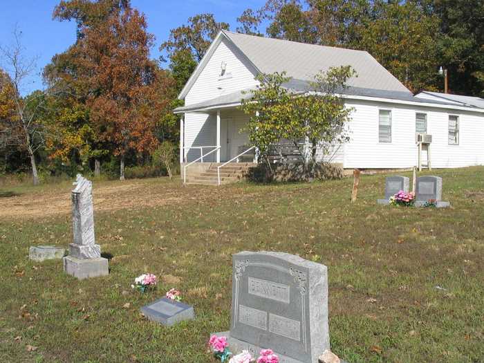
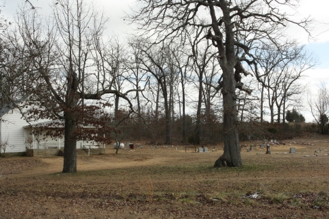
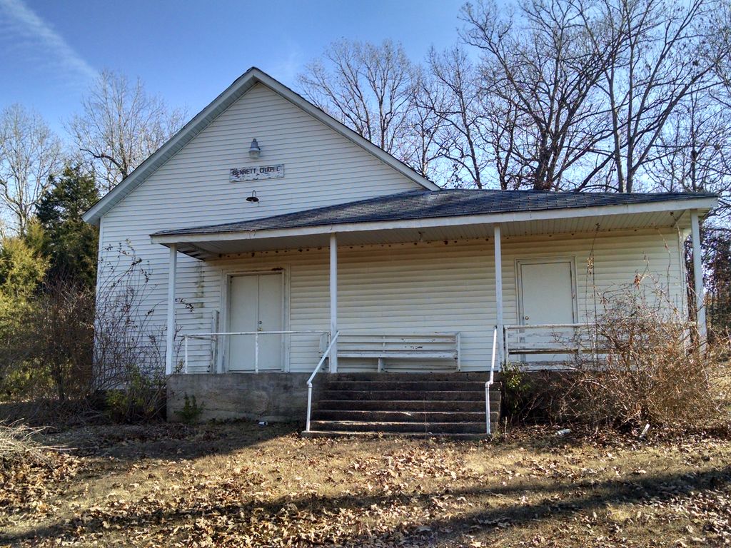
| Description | : | From West Plains take Hwy 160 east to Hwy 17, go north to Hwy EE, turn right (East)to CR 3490, then left (North) to CR 3390 then right (East) to cemetery; next to Bennett Chapel Church. (Sec 33 Twp 25 R7W) |
frequently asked questions (FAQ):
-
Where is Bennett Chapel Cemetery?
Bennett Chapel Cemetery is located at Fanchon, Howell County ,Missouri ,USA.
-
Bennett Chapel Cemetery cemetery's updated grave count on graveviews.com?
0 memorials
-
Where are the coordinates of the Bennett Chapel Cemetery?
Latitude: 36.8025589
Longitude: -91.7312546
Nearby Cemetories:
1. Barnett Cemetery
West Plains, Howell County, USA
Coordinate: 36.7871476, -91.7582962
2. Barnett Cemetery
Peace Valley, Howell County, USA
Coordinate: 36.7874500, -91.7595020
3. New Hope Cemetery
Peace Valley, Howell County, USA
Coordinate: 36.8303337, -91.7540359
4. Elk Creek Cemetery
Cull, Howell County, USA
Coordinate: 36.7450600, -91.6929245
5. Saint Joseph Cemetery
White Church, Howell County, USA
Coordinate: 36.8517100, -91.7876100
6. Pleasant View Cemetery
West Plains, Howell County, USA
Coordinate: 36.7900009, -91.8257980
7. Francis Cemetery
Cull, Howell County, USA
Coordinate: 36.7299995, -91.6789017
8. Dripping Springs Cemetery
West Plains, Howell County, USA
Coordinate: 36.8175583, -91.8487625
9. Jim Willard Farm
Rover, Oregon County, USA
Coordinate: 36.7311100, -91.6496200
10. Aikens Family Cemetery
Rover, Oregon County, USA
Coordinate: 36.7437200, -91.6285500
11. Howell Valley Cemetery
West Plains, Howell County, USA
Coordinate: 36.7144012, -91.7953033
12. Antioch Cemetery
Pomona, Howell County, USA
Coordinate: 36.8725200, -91.8307400
13. Oak Lawn Cemetery
West Plains, Howell County, USA
Coordinate: 36.7235985, -91.8419037
14. Galloway Cemetery
West Plains, Howell County, USA
Coordinate: 36.7529106, -91.8682175
15. Campbell Cemetery
West Plains, Howell County, USA
Coordinate: 36.7563600, -91.8721200
16. Mackey Cemetery
Pomona, Howell County, USA
Coordinate: 36.8659554, -91.8659134
17. Chapin Cemetery
West Plains, Howell County, USA
Coordinate: 36.6781006, -91.7683029
18. Jolliff Cemetery
Rover, Oregon County, USA
Coordinate: 36.7430992, -91.5892029
19. Forest Dell Ebenezer Cemetery
Mountain View, Howell County, USA
Coordinate: 36.9328003, -91.7403030
20. Redburn Cemetery
Rover, Oregon County, USA
Coordinate: 36.7174988, -91.6066971
21. Sadie Brown Cemetery
West Plains, Howell County, USA
Coordinate: 36.7967186, -91.8965530
22. County Farm Cemetery
Chapin, Howell County, USA
Coordinate: 36.6831017, -91.8097000
23. Howell County Rural Cemetery
Mountain View, Howell County, USA
Coordinate: 36.6831100, -91.8098600
24. Thomasville Civil War Cemetery #2
Thomasville, Oregon County, USA
Coordinate: 36.7814100, -91.5606600


