
| Memorials | : | 0 |
| Location | : | West Plains, Howell County, USA |
| Coordinate | : | 36.7967186, -91.8965530 |
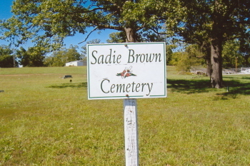
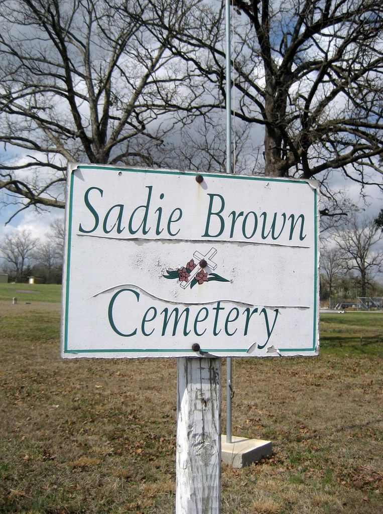
| Description | : | Sadie Brown Cemetery is on Hwy 63 North, from West Plains. Tuen left at West 14 Hwy. The cemetery is on the cornor, on the right hand side of Hwy 63 & West 14 Hwy. It sits accross Hwy 63 from Granny's Cafe. Sadie Brown was a black lady who filled many domestic jobs for white folks in West Plains. She was known to be a hard worker and was well respected in her black community and in the white community in West Plains. Thus, a community Cemetery was named after her. Today, this small cemetery is still an active... Read More |
frequently asked questions (FAQ):
-
Where is Sadie Brown Cemetery?
Sadie Brown Cemetery is located at West Plains, Howell County ,Missouri ,USA.
-
Sadie Brown Cemetery cemetery's updated grave count on graveviews.com?
0 memorials
-
Where are the coordinates of the Sadie Brown Cemetery?
Latitude: 36.7967186
Longitude: -91.8965530
Nearby Cemetories:
1. Lone Pine Cemetery
West Plains, Howell County, USA
Coordinate: 36.7813988, -91.9057999
2. Dripping Springs Cemetery
West Plains, Howell County, USA
Coordinate: 36.8175583, -91.8487625
3. Campbell Cemetery
West Plains, Howell County, USA
Coordinate: 36.7563600, -91.8721200
4. Galloway Cemetery
West Plains, Howell County, USA
Coordinate: 36.7529106, -91.8682175
5. Howell Memorial Park Cemetery
Pomona, Howell County, USA
Coordinate: 36.8460007, -91.9181976
6. Mount Zion Cemetery
Dry Creek Township, Howell County, USA
Coordinate: 36.8299200, -91.9486000
7. Pleasant View Cemetery
West Plains, Howell County, USA
Coordinate: 36.7900009, -91.8257980
8. Hopes Rest Cemetery
West Plains, Howell County, USA
Coordinate: 36.7452500, -91.9557700
9. Mackey Cemetery
Pomona, Howell County, USA
Coordinate: 36.8659554, -91.8659134
10. New Liberty Baptist Cemetery
Grimmet, Howell County, USA
Coordinate: 36.7775002, -91.9869003
11. Pleasant Hill Cemetery
Pottersville, Howell County, USA
Coordinate: 36.7310982, -91.9606018
12. Oak Lawn Cemetery
West Plains, Howell County, USA
Coordinate: 36.7235985, -91.8419037
13. Antioch Cemetery
Pomona, Howell County, USA
Coordinate: 36.8725200, -91.8307400
14. Collins Cemetery
Siloam Springs, Howell County, USA
Coordinate: 36.7858009, -92.0139008
15. Saint Joseph Cemetery
White Church, Howell County, USA
Coordinate: 36.8517100, -91.7876100
16. Dry Creek Cemetery
Pomona, Howell County, USA
Coordinate: 36.8776800, -91.9886100
17. Barnett Cemetery
Peace Valley, Howell County, USA
Coordinate: 36.7874500, -91.7595020
18. Epps Cemetery
Pomona, Howell County, USA
Coordinate: 36.9057999, -91.9203033
19. Blue Mound Cemetery
Pottersville, Howell County, USA
Coordinate: 36.7026100, -91.9695200
20. Barnett Cemetery
West Plains, Howell County, USA
Coordinate: 36.7871476, -91.7582962
21. Howell Valley Cemetery
West Plains, Howell County, USA
Coordinate: 36.7144012, -91.7953033
22. Lost Camp Cemetery
Pomona, Howell County, USA
Coordinate: 36.9105988, -91.8566971
23. New Hope Cemetery
Peace Valley, Howell County, USA
Coordinate: 36.8303337, -91.7540359
24. Buff Cemetery
West Plains, Howell County, USA
Coordinate: 36.8633003, -92.0261002