
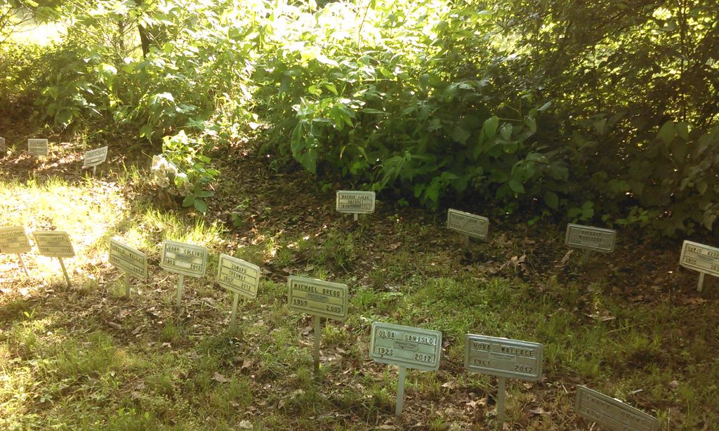
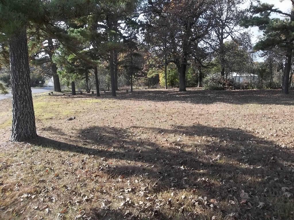
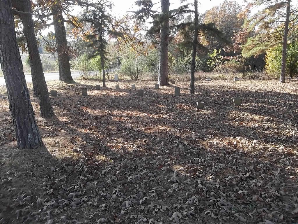
| Memorials | : | 0 |
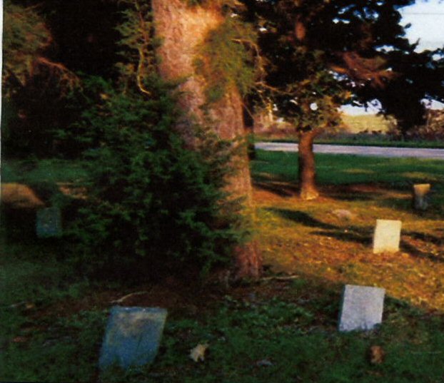
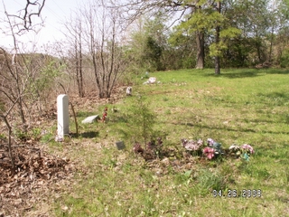
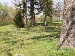
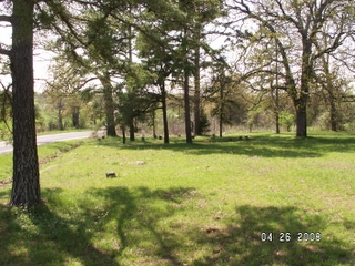
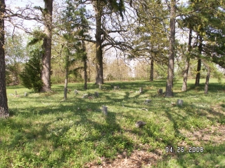
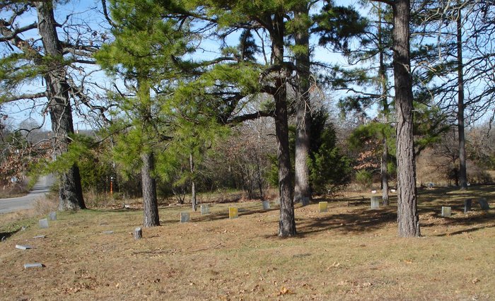
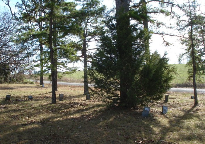
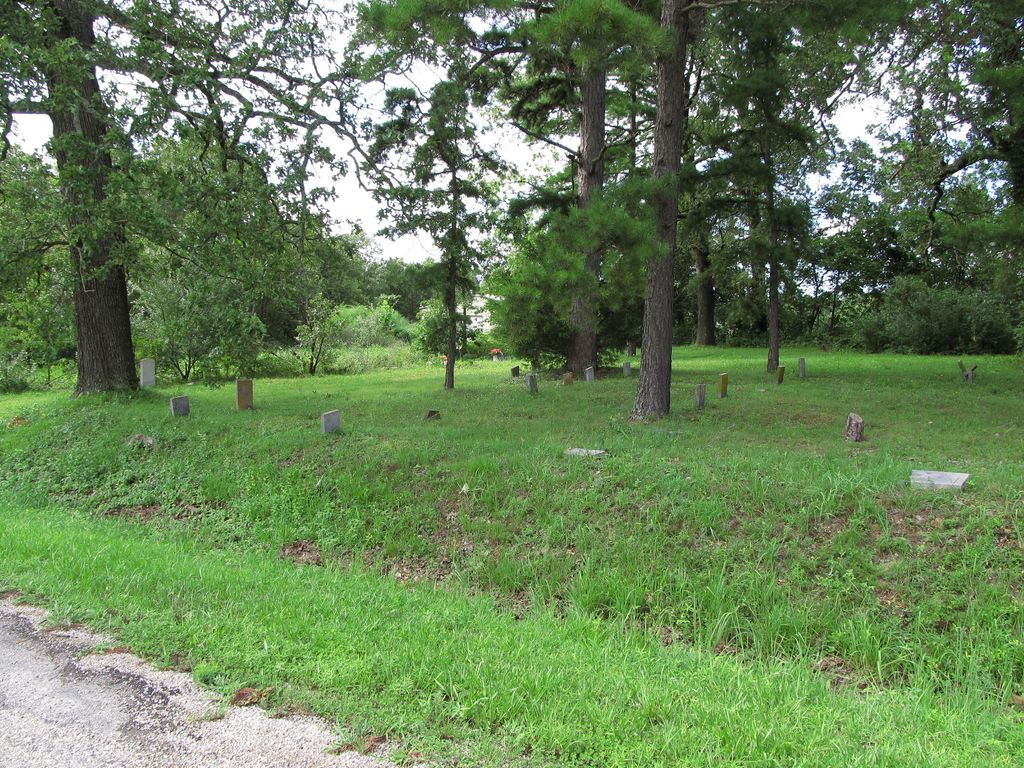
| Location | : | Chapin, Howell County, USA |
| Coordinate | : | 36.6831017, -91.8097000 |
| Description | : | From West Plains take US Hwy 63 southeast to SR PP about 3 miles turn right. go 1/2 mile to CR 868 and turn right. The cemetery is 1/2 mile on right. |
frequently asked questions (FAQ):
-
Where is County Farm Cemetery?
County Farm Cemetery is located at Chapin, Howell County ,Missouri ,USA.
-
County Farm Cemetery cemetery's updated grave count on graveviews.com?
0 memorials
-
Where are the coordinates of the County Farm Cemetery?
Latitude: 36.6831017
Longitude: -91.8097000
Nearby Cemetories:
1. Howell County Rural Cemetery
Mountain View, Howell County, USA
Coordinate: 36.6831100, -91.8098600
2. Parker Cemetery
Howell County, USA
Coordinate: 36.6730995, -91.8469009
3. Howell Valley Cemetery
West Plains, Howell County, USA
Coordinate: 36.7144012, -91.7953033
4. Chapin Cemetery
West Plains, Howell County, USA
Coordinate: 36.6781006, -91.7683029
5. Evergreen Cemetery
West Plains, Howell County, USA
Coordinate: 36.6515503, -91.8312988
6. Oak Lawn Cemetery
West Plains, Howell County, USA
Coordinate: 36.7235985, -91.8419037
7. Meltabarger Cemetery
West Plains, Howell County, USA
Coordinate: 36.6136017, -91.7658005
8. Galloway Cemetery
West Plains, Howell County, USA
Coordinate: 36.7529106, -91.8682175
9. Homeland Cemetery
Homeland, Howell County, USA
Coordinate: 36.6706009, -91.9167023
10. Campbell Cemetery
West Plains, Howell County, USA
Coordinate: 36.7563600, -91.8721200
11. Old Homeland Cemetery
Homeland, Howell County, USA
Coordinate: 36.6631012, -91.9186020
12. Brandsville Cemetery
Brandsville, Howell County, USA
Coordinate: 36.6506195, -91.6873856
13. Bollinger Cemetery
South Fork, Howell County, USA
Coordinate: 36.6208038, -91.9175491
14. Pleasant View Cemetery
West Plains, Howell County, USA
Coordinate: 36.7900009, -91.8257980
15. Barnett Cemetery
Peace Valley, Howell County, USA
Coordinate: 36.7874500, -91.7595020
16. Barnett Cemetery
West Plains, Howell County, USA
Coordinate: 36.7871476, -91.7582962
17. Elk Creek Cemetery
Cull, Howell County, USA
Coordinate: 36.7450600, -91.6929245
18. Francis Cemetery
Cull, Howell County, USA
Coordinate: 36.7299995, -91.6789017
19. Lone Pine Cemetery
West Plains, Howell County, USA
Coordinate: 36.7813988, -91.9057999
20. Blue Mound Cemetery
Pottersville, Howell County, USA
Coordinate: 36.7026100, -91.9695200
21. Pleasant Hill Cemetery
Pottersville, Howell County, USA
Coordinate: 36.7310982, -91.9606018
22. Hopes Rest Cemetery
West Plains, Howell County, USA
Coordinate: 36.7452500, -91.9557700
23. Sadie Brown Cemetery
West Plains, Howell County, USA
Coordinate: 36.7967186, -91.8965530
24. Bennett Chapel Cemetery
Fanchon, Howell County, USA
Coordinate: 36.8025589, -91.7312546