
| Memorials | : | 0 |
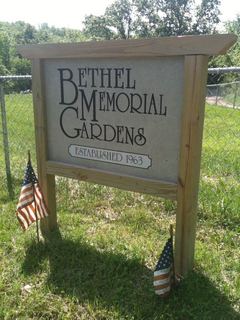
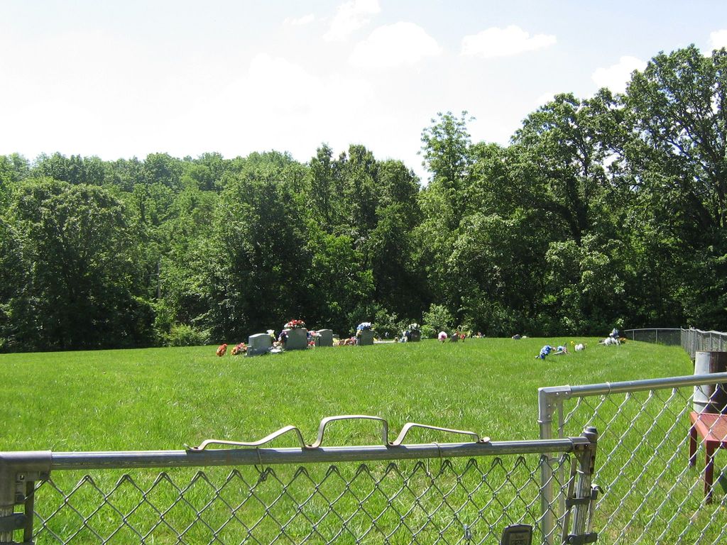
| Location | : | Speed, Cooper County, USA |
| Coordinate | : | 38.8538100, -92.8111400 |
| Description | : | A.M.E. Church Cemetery is about 3/4 miles northwest of Speed, MO, on the south side of the road, which goes north and west from Speed (T-47-N; N-17-W; Section 8). This cemetery was established here because the old burial ground known as the Wright Cemetery became very difficult to get to. |
frequently asked questions (FAQ):
-
Where is Bethel Memorial Gardens?
Bethel Memorial Gardens is located at Speed, Cooper County ,Missouri ,USA.
-
Bethel Memorial Gardens cemetery's updated grave count on graveviews.com?
0 memorials
-
Where are the coordinates of the Bethel Memorial Gardens?
Latitude: 38.8538100
Longitude: -92.8111400
Nearby Cemetories:
1. Lone Elm Christian Cemetery
Lone Elm, Cooper County, USA
Coordinate: 38.8211210, -92.7785260
2. Concord Cemetery
Cooper County, USA
Coordinate: 38.8199997, -92.7799988
3. Pleasant Hill Cemetery
Cooper County, USA
Coordinate: 38.8955994, -92.8383026
4. Brown-Cartner Family Cemetery
Billingsville, Cooper County, USA
Coordinate: 38.8812900, -92.7609200
5. Saint Johns UCC Cemetery
Billingsville, Cooper County, USA
Coordinate: 38.9042410, -92.7951050
6. Masonic Cemetery
Bunceton, Cooper County, USA
Coordinate: 38.7947006, -92.8000031
7. Briscoe Cemetery
Cooper County, USA
Coordinate: 38.8025017, -92.8535995
8. Cooper County Poor Farm Cemetery
Boonville, Cooper County, USA
Coordinate: 38.9108430, -92.7820330
9. Prairie Lick Cemetery
Billingsville, Cooper County, USA
Coordinate: 38.9170410, -92.8257630
10. Zion Lutheran Cemetery
Lone Elm, Cooper County, USA
Coordinate: 38.8215000, -92.7366000
11. Mount Hermon Baptist Cemetery
Clarks Fork, Cooper County, USA
Coordinate: 38.8824560, -92.7340030
12. Sunset Hills Cemetery
Bunceton, Cooper County, USA
Coordinate: 38.7846140, -92.8033260
13. Old Mount Nebo Cemetery
Bunceton, Cooper County, USA
Coordinate: 38.7999520, -92.8797250
14. Saint Joseph's Catholic Cemetery
Pilot Grove, Cooper County, USA
Coordinate: 38.8636017, -92.9088974
15. Mount Nebo Baptist Church and Cemetery
Pilot Grove, Cooper County, USA
Coordinate: 38.8034970, -92.8896760
16. Garibaldi Mausoleum
Carano, Provincia di Latina, Italy
Coordinate: 38.8747215, -92.9113922
17. Mount Vernon Cemetery
Pilot Grove, Cooper County, USA
Coordinate: 38.8586006, -92.9150009
18. Saint Martins Cemetery
Pilot Grove, Cooper County, USA
Coordinate: 38.9169006, -92.8778000
19. Pilot Grove City Cemetery
Pilot Grove, Cooper County, USA
Coordinate: 38.8788930, -92.9131360
20. Wesley Chapel Cemetery
Pilot Grove, Cooper County, USA
Coordinate: 38.8626750, -92.9235120
21. Jones Chapel Cemetery
Cooper County, USA
Coordinate: 38.9433060, -92.8348710
22. Trinity Lutheran Cemetery
Clarks Fork, Cooper County, USA
Coordinate: 38.8512540, -92.6827680
23. West Boonville Evangelical Church Cemetery
Boonville, Cooper County, USA
Coordinate: 38.9593981, -92.8282225
24. Bethlehem Cemetery
Bunceton, Cooper County, USA
Coordinate: 38.7510630, -92.8613010