| Memorials | : | 0 |
| Location | : | Bunceton, Cooper County, USA |
| Coordinate | : | 38.7846140, -92.8033260 |
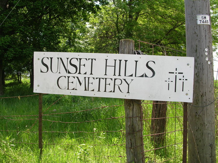
| Description | : | From Hwy 70, take Hwy 5 south for (about) 10 miles and turn left on Hwy J. Continue on "J" for 3 miles, turn right on Hickory. About .2 miles you will see the cemetery sign. Turn left on the grass easement which is next to the gravel driveway. The cemetery is behind the house. |
frequently asked questions (FAQ):
-
Where is Sunset Hills Cemetery?
Sunset Hills Cemetery is located at Bunceton, Cooper County ,Missouri ,USA.
-
Sunset Hills Cemetery cemetery's updated grave count on graveviews.com?
0 memorials
-
Where are the coordinates of the Sunset Hills Cemetery?
Latitude: 38.7846140
Longitude: -92.8033260
Nearby Cemetories:
1. Masonic Cemetery
Bunceton, Cooper County, USA
Coordinate: 38.7947006, -92.8000031
2. Concord Cemetery
Cooper County, USA
Coordinate: 38.8199997, -92.7799988
3. Lone Elm Christian Cemetery
Lone Elm, Cooper County, USA
Coordinate: 38.8211210, -92.7785260
4. Briscoe Cemetery
Cooper County, USA
Coordinate: 38.8025017, -92.8535995
5. Chilton Cemetery
Bunceton, Cooper County, USA
Coordinate: 38.7472000, -92.7694016
6. Bethlehem Cemetery
Bunceton, Cooper County, USA
Coordinate: 38.7510630, -92.8613010
7. Old Mount Nebo Cemetery
Bunceton, Cooper County, USA
Coordinate: 38.7999520, -92.8797250
8. Zion Lutheran Cemetery
Lone Elm, Cooper County, USA
Coordinate: 38.8215000, -92.7366000
9. Bethel Memorial Gardens
Speed, Cooper County, USA
Coordinate: 38.8538100, -92.8111400
10. Mount Nebo Baptist Church and Cemetery
Pilot Grove, Cooper County, USA
Coordinate: 38.8034970, -92.8896760
11. Hopewell Cemetery
Cooper County, USA
Coordinate: 38.7172012, -92.7621994
12. Woods Family Cemetery Number Two
Cooper County, USA
Coordinate: 38.7052994, -92.7874985
13. Carpenter Family Cemetery
Syracuse, Morgan County, USA
Coordinate: 38.7417910, -92.9189220
14. Brown-Cartner Family Cemetery
Billingsville, Cooper County, USA
Coordinate: 38.8812900, -92.7609200
15. Howard Cemetery
Cooper County, USA
Coordinate: 38.6917000, -92.7414017
16. Smiley and Pulley Burial Grounds
Cotton, Cooper County, USA
Coordinate: 38.7005997, -92.7230988
17. Antioch Cemetery
Cooper County, USA
Coordinate: 38.7369003, -92.9231033
18. New Lebanon Cumberland Presbyterian Church Cemeter
Pilot Grove, Cooper County, USA
Coordinate: 38.7601070, -92.9405180
19. McCulloch Cemetery
Cooper County, USA
Coordinate: 38.8293991, -92.6731033
20. Mount Hermon Baptist Cemetery
Clarks Fork, Cooper County, USA
Coordinate: 38.8824560, -92.7340030
21. Brooking Cemetery
Tipton, Moniteau County, USA
Coordinate: 38.6738300, -92.7761200
22. Toler Cemetery
Cooper County, USA
Coordinate: 38.8260994, -92.6682968
23. Saint Joseph's Catholic Cemetery
Pilot Grove, Cooper County, USA
Coordinate: 38.8636017, -92.9088974
24. Mount Vernon Cemetery
Pilot Grove, Cooper County, USA
Coordinate: 38.8586006, -92.9150009

