
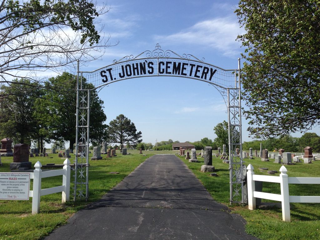
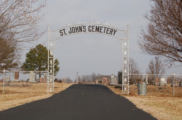
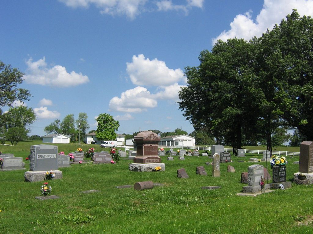
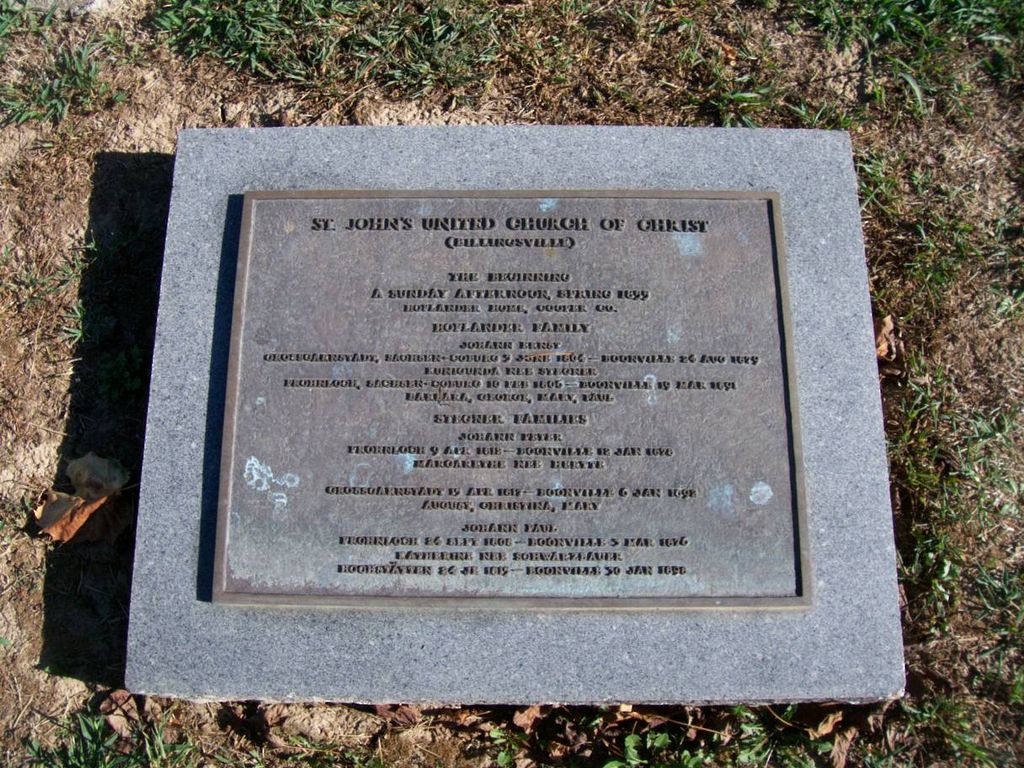
| Memorials | : | 1 |
| Location | : | Billingsville, Cooper County, USA |
| Coordinate | : | 38.9042410, -92.7951050 |
frequently asked questions (FAQ):
-
Where is Saint Johns UCC Cemetery?
Saint Johns UCC Cemetery is located at 14191 Billingsville Rd Billingsville, Cooper County ,Missouri , 65233USA.
-
Saint Johns UCC Cemetery cemetery's updated grave count on graveviews.com?
1 memorials
-
Where are the coordinates of the Saint Johns UCC Cemetery?
Latitude: 38.9042410
Longitude: -92.7951050

Nearby Cemetories:
1. Cooper County Poor Farm Cemetery
Boonville, Cooper County, USA
Coordinate: 38.9108430, -92.7820330
2. Prairie Lick Cemetery
Billingsville, Cooper County, USA
Coordinate: 38.9170410, -92.8257630
3. Pleasant Hill Cemetery
Cooper County, USA
Coordinate: 38.8955994, -92.8383026
4. Brown-Cartner Family Cemetery
Billingsville, Cooper County, USA
Coordinate: 38.8812900, -92.7609200
5. Jones Chapel Cemetery
Cooper County, USA
Coordinate: 38.9433060, -92.8348710
6. Bethel Memorial Gardens
Speed, Cooper County, USA
Coordinate: 38.8538100, -92.8111400
7. Mount Hermon Baptist Cemetery
Clarks Fork, Cooper County, USA
Coordinate: 38.8824560, -92.7340030
8. West Boonville Evangelical Church Cemetery
Boonville, Cooper County, USA
Coordinate: 38.9593981, -92.8282225
9. Saint Martins Cemetery
Pilot Grove, Cooper County, USA
Coordinate: 38.9169006, -92.8778000
10. Williams Burials Grounds
Cooper County, USA
Coordinate: 38.9696750, -92.8270000
11. Sunset Hills Cemetery
Boonville, Cooper County, USA
Coordinate: 38.9636130, -92.7458480
12. Boonville Memorial Gardens Cemetery
Boonville, Cooper County, USA
Coordinate: 38.9670460, -92.7271950
13. Walnut Grove Cemetery
Boonville, Cooper County, USA
Coordinate: 38.9713783, -92.7324524
14. Herndon Cemetery
Cooper County, USA
Coordinate: 38.9592018, -92.8767014
15. Lone Elm Christian Cemetery
Lone Elm, Cooper County, USA
Coordinate: 38.8211210, -92.7785260
16. Concord Cemetery
Cooper County, USA
Coordinate: 38.8199997, -92.7799988
17. Saint Peter and Paul Catholic Cemetery
Boonville, Cooper County, USA
Coordinate: 38.9730060, -92.7306800
18. Missouri Boys Training School Cemetery
Boonville, Cooper County, USA
Coordinate: 38.9732120, -92.7297190
19. Schuster Family Cemetery
Lamine, Cooper County, USA
Coordinate: 38.9526600, -92.8862720
20. Hail Ridge Cemetery
Boonville, Cooper County, USA
Coordinate: 38.9394444, -92.6941667
21. Zion Lutheran Cemetery
Lone Elm, Cooper County, USA
Coordinate: 38.8215000, -92.7366000
22. Garibaldi Mausoleum
Carano, Provincia di Latina, Italy
Coordinate: 38.8747215, -92.9113922
23. Pilot Grove City Cemetery
Pilot Grove, Cooper County, USA
Coordinate: 38.8788930, -92.9131360
24. Saint Joseph's Catholic Cemetery
Pilot Grove, Cooper County, USA
Coordinate: 38.8636017, -92.9088974