
| Memorials | : | 0 |
| Location | : | Hernando, DeSoto County, USA |
| Coordinate | : | 34.8747700, -89.9929200 |
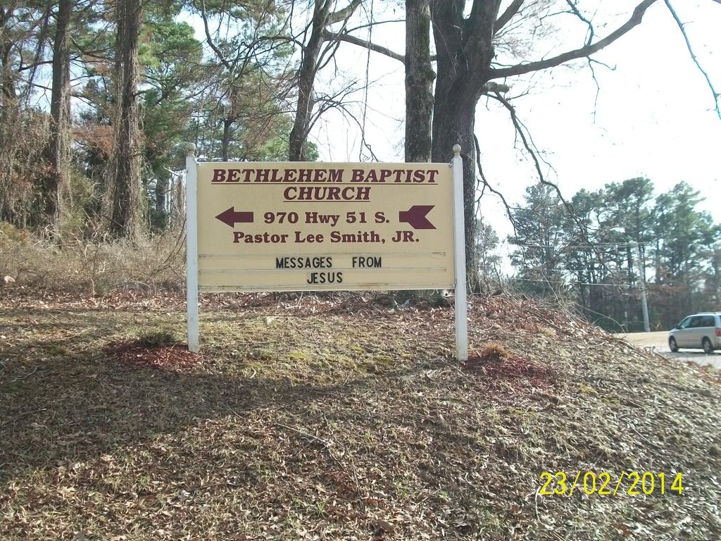
| Description | : | This cemetery is on the grounds of the Bethlehem Baptist Church, located west of I-55, east of Hwy 51 and south of the Nesbit crossroads (Hwy 51 and Pleasant Hill Rd.) at 970 Hwy 51 S. The access road is just north of the Hernando Fire Station #2. Note that there is an older abandoned Bethlehem Cemetery on th East side of I-55 at the south end of Fronie Dr. which does not appear to be maintained anymore. |
frequently asked questions (FAQ):
-
Where is Bethlehem Baptist Church Cemetery?
Bethlehem Baptist Church Cemetery is located at 970 Hwy 51 S., Hernando, MS Hernando, DeSoto County ,Mississippi , 38632USA.
-
Bethlehem Baptist Church Cemetery cemetery's updated grave count on graveviews.com?
0 memorials
-
Where are the coordinates of the Bethlehem Baptist Church Cemetery?
Latitude: 34.8747700
Longitude: -89.9929200
Nearby Cemetories:
1. Bethlehem Cemetery
Nesbit, DeSoto County, USA
Coordinate: 34.8742630, -89.9898520
2. Robinson Family Cemetery
Nesbit, DeSoto County, USA
Coordinate: 34.8876620, -90.0070020
3. Nesbit Cemetery
Hernando, DeSoto County, USA
Coordinate: 34.8872010, -90.0108340
4. Oak Grove M.B. Church Cemetery
Nesbit, DeSoto County, USA
Coordinate: 34.8974750, -89.9982130
5. Greenview Memorial Gardens
Hernando, DeSoto County, USA
Coordinate: 34.8974920, -89.9981140
6. Saint Mary MB Church Cemetery
Hernando, DeSoto County, USA
Coordinate: 34.8672700, -90.0287500
7. DeSoto Memorial Gardens
Southhaven, DeSoto County, USA
Coordinate: 34.9062800, -89.9784010
8. Banks Family Cemetery
Hernando, DeSoto County, USA
Coordinate: 34.8487500, -89.9628060
9. Slaughter Cemetery
Southaven, DeSoto County, USA
Coordinate: 34.9117790, -89.9874530
10. New Bethany Cemetery
Hernando, DeSoto County, USA
Coordinate: 34.8531000, -89.9547000
11. Halliburton Baptist Church Cemetery
Nesbit, DeSoto County, USA
Coordinate: 34.9049750, -90.0237630
12. Bridgforth Cemetery #2
Pleasant Hill, DeSoto County, USA
Coordinate: 34.8828770, -89.9420470
13. Huddleston Family Cemetery
Hernando, DeSoto County, USA
Coordinate: 34.8535000, -90.0426000
14. Vance Family Cemetery
Hernando, DeSoto County, USA
Coordinate: 34.8285220, -89.9993010
15. Mount Olive CME Church Cemetery
Nesbit, DeSoto County, USA
Coordinate: 34.8889750, -89.9375850
16. Christian Church Cemetery
Hernando, DeSoto County, USA
Coordinate: 34.8608930, -89.9374030
17. Hernando Memorial Park
Hernando, DeSoto County, USA
Coordinate: 34.8175080, -89.9909620
18. Springhill Cemetery
Hernando, DeSoto County, USA
Coordinate: 34.8165870, -90.0020220
19. Avery Chapel Cemetery
Southaven, DeSoto County, USA
Coordinate: 34.9331550, -89.9755330
20. New Hope Baptist Church Cemetery
Southaven, DeSoto County, USA
Coordinate: 34.9322450, -89.9663540
21. Oliver Family Cemetery
Hernando, DeSoto County, USA
Coordinate: 34.8280460, -90.0427010
22. Bridgforth Family Cemetery #1
Southhaven, DeSoto County, USA
Coordinate: 34.9106680, -89.9289170
23. Baker Family Cemetery
Pleasant Hill, DeSoto County, USA
Coordinate: 34.8793600, -89.9146300
24. Johnston Family Cemetery
Nesbit, DeSoto County, USA
Coordinate: 34.8726210, -89.9128810