
| Memorials | : | 0 |
| Location | : | West Unity, Williams County, USA |
| Coordinate | : | 41.5995650, -84.4909490 |
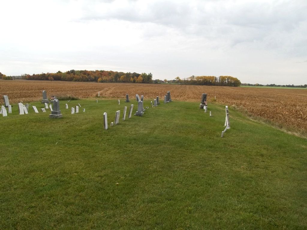
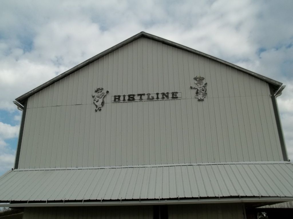
| Description | : | Bistline Cemetery has had several different names throughout it's history. It is located on private property and as ownership of the land changed, so did it's name. It has been known as Burkholder Cemetery, Hoffer Cemetery and also as Jefferson Burying Ground. It is located on the south side of County Road M, between County Roads 17 & 18 in Jefferson Township, Williams County, Ohio. |
frequently asked questions (FAQ):
-
Where is Bistline Cemetery?
Bistline Cemetery is located at West Unity, Williams County ,Ohio ,USA.
-
Bistline Cemetery cemetery's updated grave count on graveviews.com?
0 memorials
-
Where are the coordinates of the Bistline Cemetery?
Latitude: 41.5995650
Longitude: -84.4909490
Nearby Cemetories:
1. Beaver Creek Cemetery
West Unity, Williams County, USA
Coordinate: 41.6011009, -84.4738998
2. Kunkle Cemetery
Kunkle, Williams County, USA
Coordinate: 41.6255989, -84.4950027
3. Barrett Cemetery
Williams County, USA
Coordinate: 41.6293983, -84.4961014
4. Bechtol Cemetery #2
Montpelier, Williams County, USA
Coordinate: 41.5782060, -84.5391850
5. Williams County Infirmary Cemetery
West Unity, Williams County, USA
Coordinate: 41.5571430, -84.5097860
6. Kunkle Cemetery
Williams County, USA
Coordinate: 41.5561150, -84.4762400
7. Rings Cemetery
West Unity, Williams County, USA
Coordinate: 41.5928680, -84.4288400
8. Lash Cemetery
Williams County, USA
Coordinate: 41.5868988, -84.5597000
9. West Jefferson Cemetery
West Jefferson, Williams County, USA
Coordinate: 41.5764008, -84.5563965
10. Floral Grove Cemetery
West Unity, Williams County, USA
Coordinate: 41.5708008, -84.4158020
11. Shiffler Cemetery
Jefferson Township, Williams County, USA
Coordinate: 41.5325012, -84.5063934
12. Beatty Cemetery
West Unity, Williams County, USA
Coordinate: 41.5881970, -84.3954710
13. Ely Cemetery
West Unity, Williams County, USA
Coordinate: 41.6135630, -84.3939880
14. West Franklin Cemetery
Fayette, Fulton County, USA
Coordinate: 41.6224400, -84.3940900
15. Floral Grove Cemetery
Pioneer, Williams County, USA
Coordinate: 41.6650009, -84.5460968
16. Bodel Cemetery
Stryker, Williams County, USA
Coordinate: 41.5277080, -84.4495600
17. Olive Branch Cemetery
Alvordton, Williams County, USA
Coordinate: 41.6527786, -84.4088898
18. Quaker Cemetery
West Unity, Williams County, USA
Coordinate: 41.6155770, -84.3834280
19. Ely Cemetery
Fayette, Fulton County, USA
Coordinate: 41.6255989, -84.3824997
20. Louden Cemetery
Montpelier, Williams County, USA
Coordinate: 41.5758018, -84.6006012
21. Walnut Grove Cemetery
Alvordton, Williams County, USA
Coordinate: 41.6758003, -84.4366989
22. Bechtol Cemetery
Montpelier, Williams County, USA
Coordinate: 41.5714490, -84.6005000
23. Old Pulaski Cemetery
Williams County, USA
Coordinate: 41.5135994, -84.5119019
24. Primrose Cemetery
Primrose, Williams County, USA
Coordinate: 41.6800003, -84.4424973