
| Memorials | : | 1286 |
| Location | : | Fayette, Fulton County, USA |
| Coordinate | : | 41.6224400, -84.3940900 |
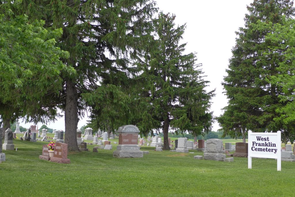
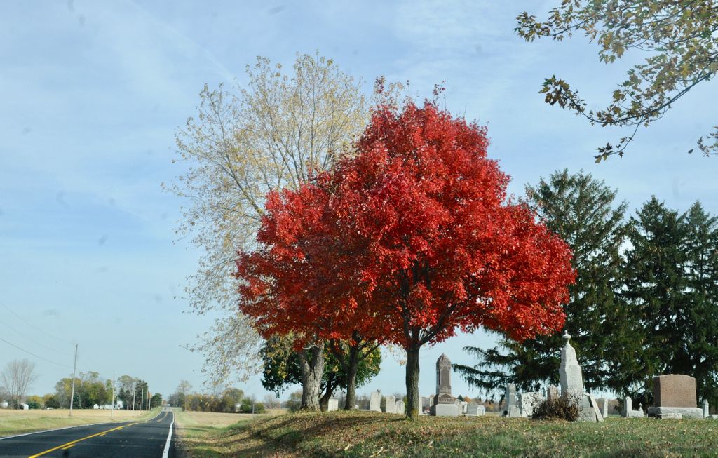
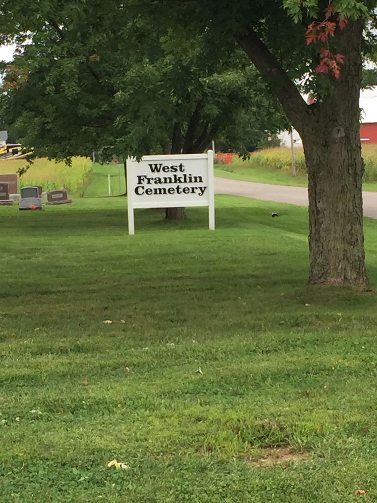
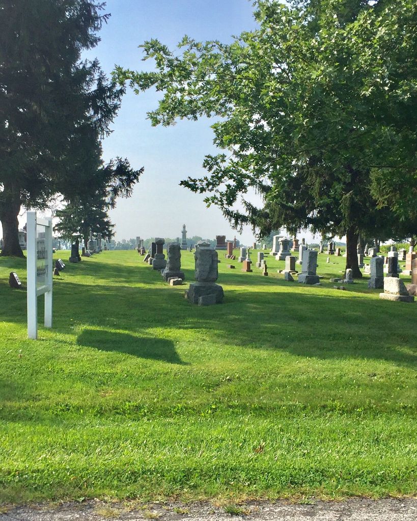
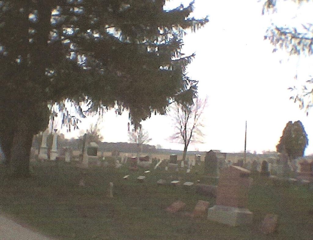
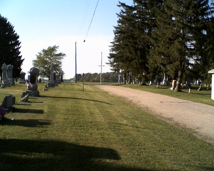
| Description | : | The cemetery is located at the intersection of County Road L and Township Road 27-2. The old section of the cemetery is on the southeast corner of the intersection and has been referred to as the Old Franklin Cemetery, Franklin East Cemetery, or Masters Cemetery. The new section is on the southwest corner of the intersection and has been referred to as the New Franklin Cemetery or Franklin West Cemetery. The cemetery is located in Franklin Township, Fulton County, Ohio, and is # 3753 (New Franklin Cemetery / Franklin West Cemetery) in “Ohio Cemeteries 1803-2003”, compiled by the... Read More |
frequently asked questions (FAQ):
-
Where is West Franklin Cemetery?
West Franklin Cemetery is located at County Road L and Township Road 27-2 Fayette, Fulton County ,Ohio , 43570USA.
-
West Franklin Cemetery cemetery's updated grave count on graveviews.com?
1285 memorials
-
Where are the coordinates of the West Franklin Cemetery?
Latitude: 41.6224400
Longitude: -84.3940900
Nearby Cemetories:
1. Ely Cemetery
West Unity, Williams County, USA
Coordinate: 41.6135630, -84.3939880
2. Ely Cemetery
Fayette, Fulton County, USA
Coordinate: 41.6255989, -84.3824997
3. Quaker Cemetery
West Unity, Williams County, USA
Coordinate: 41.6155770, -84.3834280
4. Olive Branch Cemetery
Alvordton, Williams County, USA
Coordinate: 41.6527786, -84.4088898
5. Beatty Cemetery
West Unity, Williams County, USA
Coordinate: 41.5881970, -84.3954710
6. Rings Cemetery
West Unity, Williams County, USA
Coordinate: 41.5928680, -84.4288400
7. Floral Grove Cemetery
West Unity, Williams County, USA
Coordinate: 41.5708008, -84.4158020
8. Walnut Grove Cemetery
Alvordton, Williams County, USA
Coordinate: 41.6758003, -84.4366989
9. Beaver Creek Cemetery
West Unity, Williams County, USA
Coordinate: 41.6011009, -84.4738998
10. Johnson Cemetery
Burlington, Fulton County, USA
Coordinate: 41.5791230, -84.3308020
11. Pleasant View Union Cemetery
Fayette, Fulton County, USA
Coordinate: 41.6701800, -84.3309000
12. Primrose Cemetery
Primrose, Williams County, USA
Coordinate: 41.6800003, -84.4424973
13. Goll Cemetery
Archbold, Fulton County, USA
Coordinate: 41.5558014, -84.3677979
14. Kunkle Cemetery
Kunkle, Williams County, USA
Coordinate: 41.6255989, -84.4950027
15. Lockport Cemetery
Stryker, Williams County, USA
Coordinate: 41.5466690, -84.3927765
16. Bistline Cemetery
West Unity, Williams County, USA
Coordinate: 41.5995650, -84.4909490
17. Barrett Cemetery
Williams County, USA
Coordinate: 41.6293983, -84.4961014
18. Coffin Cemetery (Defunct)
Fayette, Fulton County, USA
Coordinate: 41.6719610, -84.2956440
19. Kunkle Cemetery
Williams County, USA
Coordinate: 41.5561150, -84.4762400
20. Snow Cemetery
Fulton County, USA
Coordinate: 41.6955986, -84.3086014
21. Bodel Cemetery
Stryker, Williams County, USA
Coordinate: 41.5277080, -84.4495600
22. Waldron Cemetery
Waldron, Hillsdale County, USA
Coordinate: 41.7249985, -84.4150009
23. Lauber Hill Cemetery
Fulton County, USA
Coordinate: 41.5742410, -84.2681490
24. Williams County Infirmary Cemetery
West Unity, Williams County, USA
Coordinate: 41.5571430, -84.5097860