
| Memorials | : | 0 |
| Location | : | West Unity, Williams County, USA |
| Coordinate | : | 41.6135630, -84.3939880 |
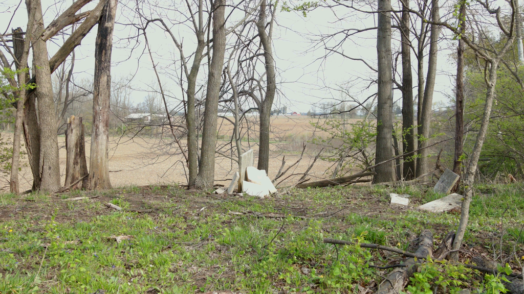
| Description | : | Also referred to as th Asher Ely Cemetery. This cemetery was laid out in 1843 on land given by Asher Ely. It is located in the NW1/2 Section 34N in Brady Township and lies on the east side of Cr 22-30, about 1/4 mile north of CR M-50. The cemetery is about 400 yards behind the farm buildings at 13-870 Rd. 22-30. There is no access road but is on a wooded knoll. Many that were buried here were later moved to other cemeteries. The remaining stones are scattered or partially buried. |
frequently asked questions (FAQ):
-
Where is Ely Cemetery?
Ely Cemetery is located at West Unity, Williams County ,Ohio ,USA.
-
Ely Cemetery cemetery's updated grave count on graveviews.com?
0 memorials
-
Where are the coordinates of the Ely Cemetery?
Latitude: 41.6135630
Longitude: -84.3939880
Nearby Cemetories:
1. Quaker Cemetery
West Unity, Williams County, USA
Coordinate: 41.6155770, -84.3834280
2. West Franklin Cemetery
Fayette, Fulton County, USA
Coordinate: 41.6224400, -84.3940900
3. Ely Cemetery
Fayette, Fulton County, USA
Coordinate: 41.6255989, -84.3824997
4. Beatty Cemetery
West Unity, Williams County, USA
Coordinate: 41.5881970, -84.3954710
5. Rings Cemetery
West Unity, Williams County, USA
Coordinate: 41.5928680, -84.4288400
6. Olive Branch Cemetery
Alvordton, Williams County, USA
Coordinate: 41.6527786, -84.4088898
7. Floral Grove Cemetery
West Unity, Williams County, USA
Coordinate: 41.5708008, -84.4158020
8. Johnson Cemetery
Burlington, Fulton County, USA
Coordinate: 41.5791230, -84.3308020
9. Goll Cemetery
Archbold, Fulton County, USA
Coordinate: 41.5558014, -84.3677979
10. Beaver Creek Cemetery
West Unity, Williams County, USA
Coordinate: 41.6011009, -84.4738998
11. Lockport Cemetery
Stryker, Williams County, USA
Coordinate: 41.5466690, -84.3927765
12. Walnut Grove Cemetery
Alvordton, Williams County, USA
Coordinate: 41.6758003, -84.4366989
13. Pleasant View Union Cemetery
Fayette, Fulton County, USA
Coordinate: 41.6701800, -84.3309000
14. Bistline Cemetery
West Unity, Williams County, USA
Coordinate: 41.5995650, -84.4909490
15. Primrose Cemetery
Primrose, Williams County, USA
Coordinate: 41.6800003, -84.4424973
16. Kunkle Cemetery
Kunkle, Williams County, USA
Coordinate: 41.6255989, -84.4950027
17. Barrett Cemetery
Williams County, USA
Coordinate: 41.6293983, -84.4961014
18. Kunkle Cemetery
Williams County, USA
Coordinate: 41.5561150, -84.4762400
19. Coffin Cemetery (Defunct)
Fayette, Fulton County, USA
Coordinate: 41.6719610, -84.2956440
20. Bodel Cemetery
Stryker, Williams County, USA
Coordinate: 41.5277080, -84.4495600
21. Lauber Hill Cemetery
Fulton County, USA
Coordinate: 41.5742410, -84.2681490
22. Williams County Infirmary Cemetery
West Unity, Williams County, USA
Coordinate: 41.5571430, -84.5097860
23. Snow Cemetery
Fulton County, USA
Coordinate: 41.6955986, -84.3086014
24. Wyse Cemetery
Fulton County, USA
Coordinate: 41.5647820, -84.2686700