
| Memorials | : | 0 |
| Location | : | West Unity, Williams County, USA |
| Coordinate | : | 41.5928680, -84.4288400 |
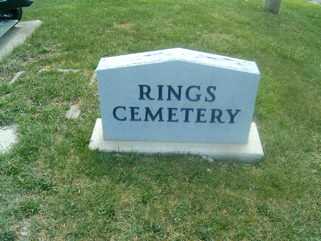
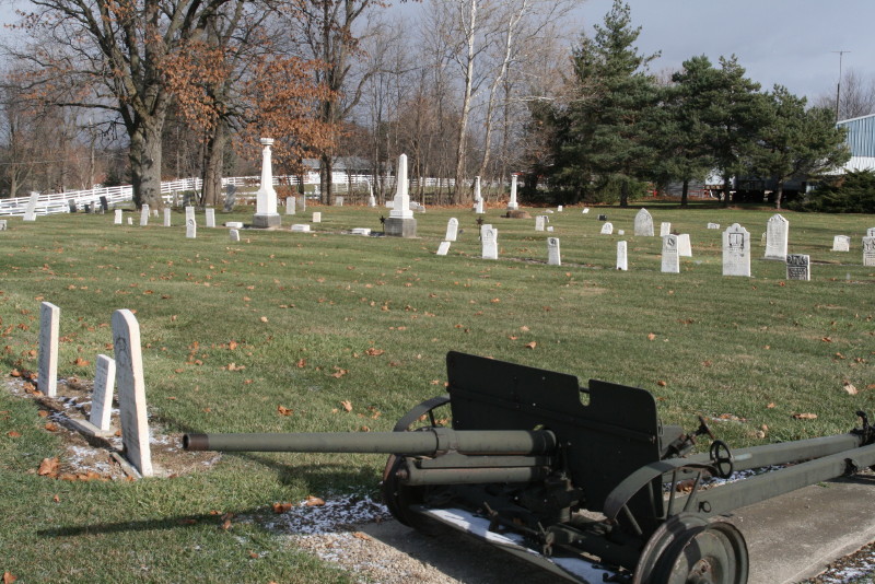
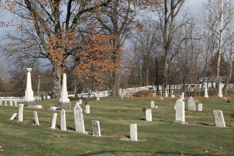
| Description | : | The cemetery is located on the northeast corner of the intersection of N Liberty Street (US 127) and N Parkway. The cemetery is located in Brady Township, Williams County, Ohio, and is # 12781 (Rings Cemetery / Ring Cemetery) in “Ohio Cemeteries 1803-2003”, compiled by the Ohio Genealogical Society. The U.S. Geological Survey (USGS) Geographic Names Information System (GNIS) feature ID for the cemetery is 1045028 (Ring Cemetery / Rings Cemetery). |
frequently asked questions (FAQ):
-
Where is Rings Cemetery?
Rings Cemetery is located at N Liberty Street (US 127) and N Parkway West Unity, Williams County ,Ohio , 43570USA.
-
Rings Cemetery cemetery's updated grave count on graveviews.com?
0 memorials
-
Where are the coordinates of the Rings Cemetery?
Latitude: 41.5928680
Longitude: -84.4288400

Nearby Cemetories:
1. Floral Grove Cemetery
West Unity, Williams County, USA
Coordinate: 41.5708008, -84.4158020
2. Beatty Cemetery
West Unity, Williams County, USA
Coordinate: 41.5881970, -84.3954710
3. Ely Cemetery
West Unity, Williams County, USA
Coordinate: 41.6135630, -84.3939880
4. Beaver Creek Cemetery
West Unity, Williams County, USA
Coordinate: 41.6011009, -84.4738998
5. West Franklin Cemetery
Fayette, Fulton County, USA
Coordinate: 41.6224400, -84.3940900
6. Quaker Cemetery
West Unity, Williams County, USA
Coordinate: 41.6155770, -84.3834280
7. Bistline Cemetery
West Unity, Williams County, USA
Coordinate: 41.5995650, -84.4909490
8. Ely Cemetery
Fayette, Fulton County, USA
Coordinate: 41.6255989, -84.3824997
9. Kunkle Cemetery
Williams County, USA
Coordinate: 41.5561150, -84.4762400
10. Lockport Cemetery
Stryker, Williams County, USA
Coordinate: 41.5466690, -84.3927765
11. Goll Cemetery
Archbold, Fulton County, USA
Coordinate: 41.5558014, -84.3677979
12. Kunkle Cemetery
Kunkle, Williams County, USA
Coordinate: 41.6255989, -84.4950027
13. Olive Branch Cemetery
Alvordton, Williams County, USA
Coordinate: 41.6527786, -84.4088898
14. Barrett Cemetery
Williams County, USA
Coordinate: 41.6293983, -84.4961014
15. Bodel Cemetery
Stryker, Williams County, USA
Coordinate: 41.5277080, -84.4495600
16. Williams County Infirmary Cemetery
West Unity, Williams County, USA
Coordinate: 41.5571430, -84.5097860
17. Johnson Cemetery
Burlington, Fulton County, USA
Coordinate: 41.5791230, -84.3308020
18. Walnut Grove Cemetery
Alvordton, Williams County, USA
Coordinate: 41.6758003, -84.4366989
19. Shiffler Cemetery
Jefferson Township, Williams County, USA
Coordinate: 41.5325012, -84.5063934
20. Bechtol Cemetery #2
Montpelier, Williams County, USA
Coordinate: 41.5782060, -84.5391850
21. Primrose Cemetery
Primrose, Williams County, USA
Coordinate: 41.6800003, -84.4424973
22. French Cemetery
Springfield Township, Williams County, USA
Coordinate: 41.5039100, -84.4485500
23. Oakwood Cemetery
Stryker, Williams County, USA
Coordinate: 41.4978900, -84.4274700
24. West Jefferson Cemetery
West Jefferson, Williams County, USA
Coordinate: 41.5764008, -84.5563965