
| Memorials | : | 0 |
| Location | : | Jarrow, Metropolitan Borough of South Tyneside, England |
| Coordinate | : | 54.9727690, -1.4826260 |
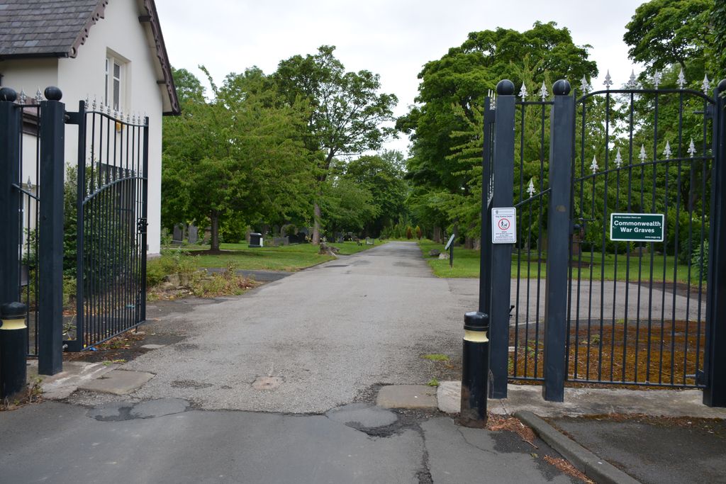
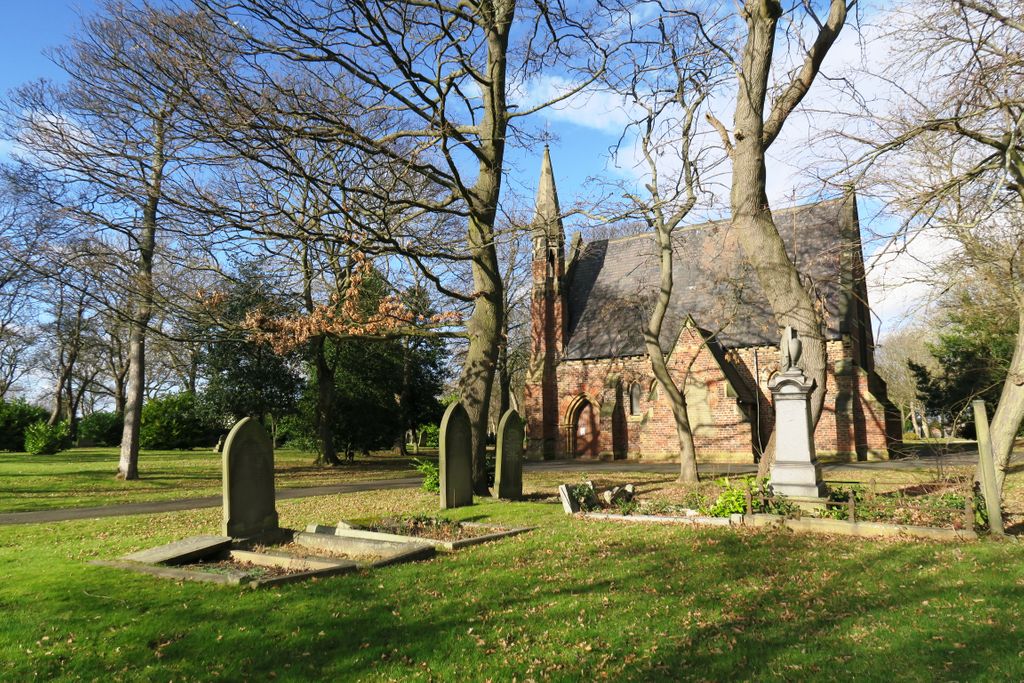
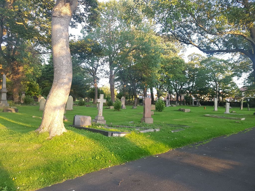
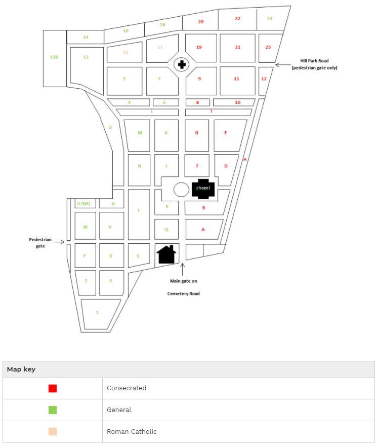
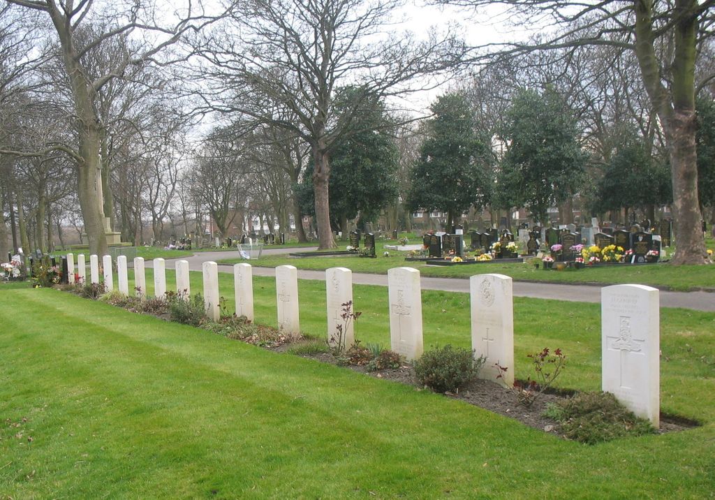
| Description | : | During the two world wars, the United Kingdom became an island fortress used for training troops and launching land, sea and air operations around the globe. There are more than 170,000 Commonwealth war graves in the United Kingdom, many being those of servicemen and women killed on active service, or who later succumbed to wounds. Others died in training accidents, or because of sickness or disease. The graves, many of them privately owned and marked by private memorials, will be found in more than 12,000 cemeteries and churchyards. Jarrow Cemetery contains 41 First World War burials scattered throughout the cemetery.... Read More |
frequently asked questions (FAQ):
-
Where is Jarrow Cemetery?
Jarrow Cemetery is located at Jarrow, Metropolitan Borough of South Tyneside ,Tyne and Wear ,England.
-
Jarrow Cemetery cemetery's updated grave count on graveviews.com?
0 memorials
-
Where are the coordinates of the Jarrow Cemetery?
Latitude: 54.9727690
Longitude: -1.4826260
Nearby Cemetories:
1. St. Paul's Churchyard
Jarrow, Metropolitan Borough of South Tyneside, England
Coordinate: 54.9804300, -1.4726600
2. St Simon's Churchyard
South Shields, Metropolitan Borough of South Tyneside, England
Coordinate: 54.9721900, -1.4559600
3. South Shields Crematorium
South Shields, Metropolitan Borough of South Tyneside, England
Coordinate: 54.9641900, -1.4541900
4. Hebburn Cemetery
Hebburn, Metropolitan Borough of South Tyneside, England
Coordinate: 54.9684590, -1.5225580
5. South Shields Friends Burial Ground
South Shields, Metropolitan Borough of South Tyneside, England
Coordinate: 54.9910560, -1.4423000
6. Church Bank Cemetery
Wallsend, Metropolitan Borough of North Tyneside, England
Coordinate: 54.9951870, -1.5161340
7. Holy Trinity Churchyard
South Shields, Metropolitan Borough of South Tyneside, England
Coordinate: 54.9908700, -1.4409900
8. St. Hilda's Churchyard
South Shields, Metropolitan Borough of South Tyneside, England
Coordinate: 54.9938889, -1.4363889
9. Boldon Friends Burial Ground
Boldon, Metropolitan Borough of South Tyneside, England
Coordinate: 54.9424130, -1.4549390
10. Holy Cross Cemetery
Wallsend, Metropolitan Borough of North Tyneside, England
Coordinate: 55.0006080, -1.5185730
11. Boldon Cemetery
West Boldon, Metropolitan Borough of South Tyneside, England
Coordinate: 54.9422300, -1.4491100
12. Walker Churchyard
Walker, Metropolitan Borough of Newcastle upon Tyne, England
Coordinate: 54.9727000, -1.5523630
13. Westoe Cemetery
Westoe, Metropolitan Borough of South Tyneside, England
Coordinate: 54.9942190, -1.4221050
14. St Stephen's Churchyard
South Shields, Metropolitan Borough of South Tyneside, England
Coordinate: 55.0038100, -1.4359200
15. Harton Cemetery
South Shields, Metropolitan Borough of South Tyneside, England
Coordinate: 54.9827360, -1.4124300
16. Heworth Cemetery
Heworth, Metropolitan Borough of Gateshead, England
Coordinate: 54.9501570, -1.5510870
17. St. Mary's Churchyard
Heworth, Metropolitan Borough of Gateshead, England
Coordinate: 54.9509290, -1.5539500
18. Preston Cemetery and Tynemouth Crematorium
North Shields, Metropolitan Borough of North Tyneside, England
Coordinate: 55.0175960, -1.4561910
19. St Katherine's Chapel
Sunderland, Metropolitan Borough of Sunderland, England
Coordinate: 54.9228508, -1.4422613
20. Tynemouth Priory
Tynemouth, Metropolitan Borough of North Tyneside, England
Coordinate: 55.0175730, -1.4175700
21. Southwick Cemetery
Southwick, Metropolitan Borough of Sunderland, England
Coordinate: 54.9269940, -1.4165070
22. Castletown Cemetery
Castletown, Metropolitan Borough of Sunderland, England
Coordinate: 54.9167340, -1.4467910
23. Byker and Heaton Cemetery
Newcastle-upon-Tyne, Metropolitan Borough of Newcastle upon Tyne, England
Coordinate: 54.9944160, -1.5796810
24. Holy Trinity Churchyard
Usworth, Metropolitan Borough of Sunderland, England
Coordinate: 54.9205210, -1.5385030