
| Memorials | : | 351 |
| Location | : | Romsey, Test Valley Borough, England |
| Coordinate | : | 50.9884090, -1.4784770 |
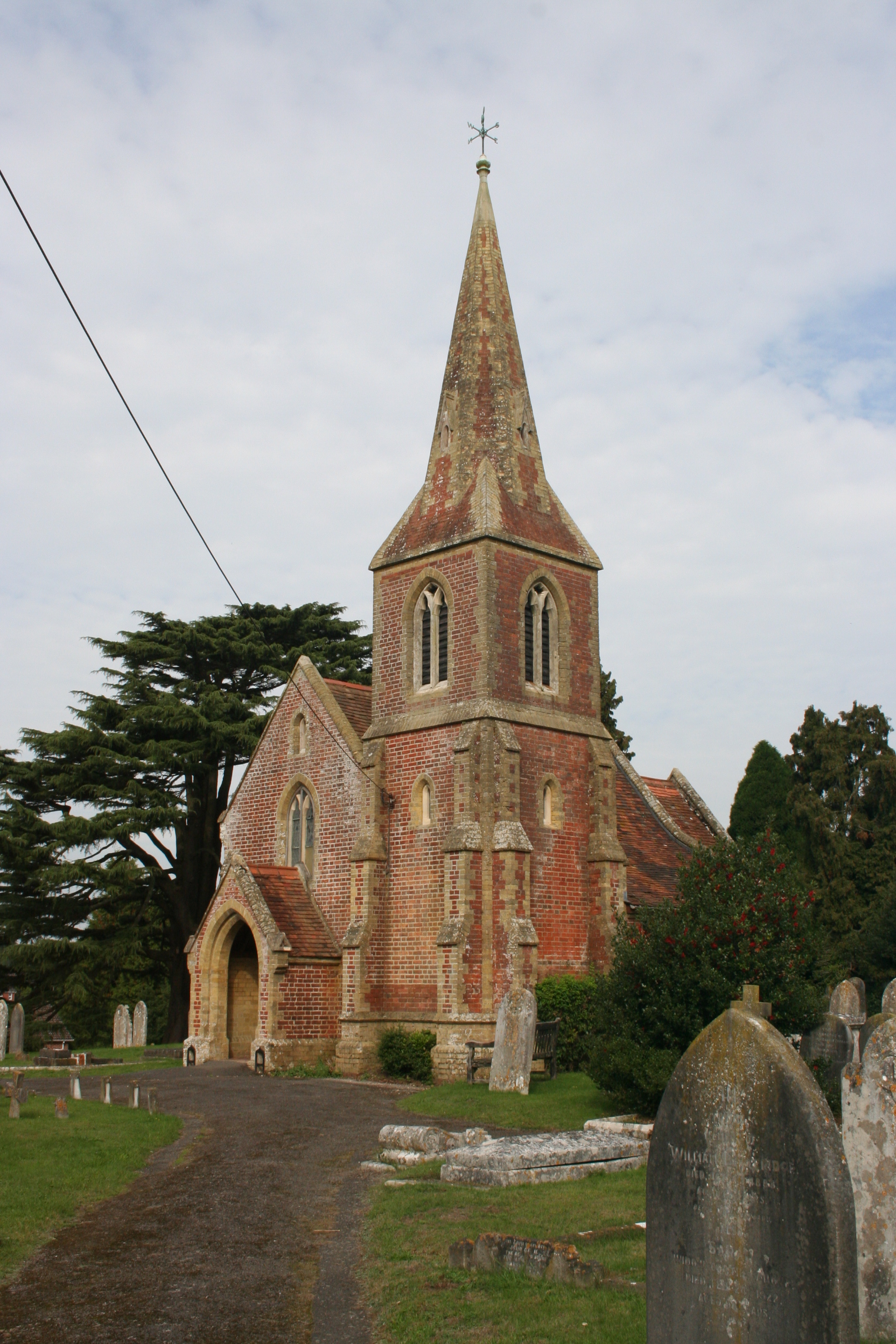
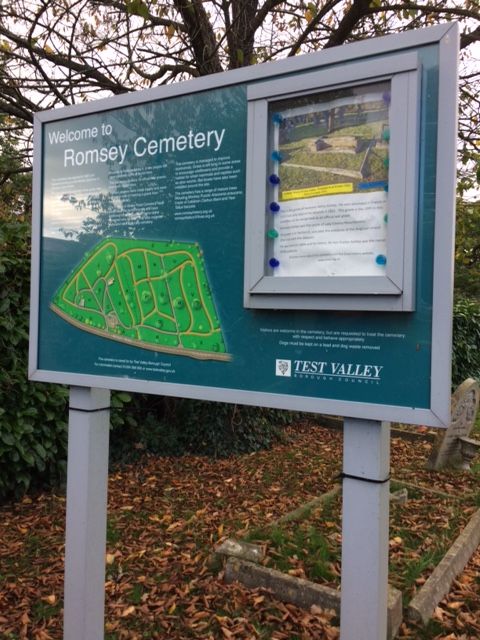
| Description | : | This was the principal burial place for Romsey between 1856-1983, with just a few burials taking place more recently. Most burials now take place in Woodley Cemetery in Braishfield Road. The cemetery contains two Victorian chapels and is managed by Test Valley Borough Council as a lawn cemetery. It has 18 official War Graves listed by the CWGC. |
frequently asked questions (FAQ):
-
Where is Botley Road Cemetery?
Botley Road Cemetery is located at Botley Road Romsey, Test Valley Borough ,Hampshire , SO51 5RPEngland.
-
Botley Road Cemetery cemetery's updated grave count on graveviews.com?
351 memorials
-
Where are the coordinates of the Botley Road Cemetery?
Latitude: 50.9884090
Longitude: -1.4784770
Nearby Cemetories:
1. Romsey Abbey
Romsey, Test Valley Borough, England
Coordinate: 50.9896510, -1.5012580
2. Woodley Cemetery
Romsey, Test Valley Borough, England
Coordinate: 51.0075340, -1.4724670
3. St John the Baptist Churchyard
North Baddesley, Test Valley Borough, England
Coordinate: 50.9858300, -1.4283100
4. St Andrew Churchyard
Timsbury, Test Valley Borough, England
Coordinate: 51.0193310, -1.5084530
5. St John the Evangelist Churchyard
Rownhams, Test Valley Borough, England
Coordinate: 50.9520900, -1.4541200
6. All Saints Churchyard
Braishfield, Test Valley Borough, England
Coordinate: 51.0271030, -1.4650780
7. St. Deny's Churchyard
Chilworth, Test Valley Borough, England
Coordinate: 50.9669770, -1.4226050
8. St. Mark's Churchyard
Ampfield, Test Valley Borough, England
Coordinate: 51.0093350, -1.4211790
9. St Boniface Churchyard
Nursling, Test Valley Borough, England
Coordinate: 50.9464660, -1.4896760
10. All Saints Churchyard
Awbridge, Test Valley Borough, England
Coordinate: 51.0095230, -1.5391870
11. St. Mary's Churchyard
Michelmersh, Test Valley Borough, England
Coordinate: 51.0378900, -1.5078630
12. Ramalley Cemetery
Chandlers Ford, Eastleigh Borough, England
Coordinate: 50.9912950, -1.3914870
13. Pine Road Cemetery
Chandlers Ford, Eastleigh Borough, England
Coordinate: 50.9969590, -1.3904110
14. St Margaret of Antioch Churchyard
East Wellow, Test Valley Borough, England
Coordinate: 50.9822010, -1.5699490
15. St Andrew Church Cemetery
Mottisfont, Test Valley Borough, England
Coordinate: 51.0377320, -1.5363190
16. Hollybrook Cemetery
Southampton, Southampton Unitary Authority, England
Coordinate: 50.9340680, -1.4312970
17. Hollybrook War Memorial
Southampton, Southampton Unitary Authority, England
Coordinate: 50.9337420, -1.4311350
18. St Andrew Churchyard
Mottisfont, Test Valley Borough, England
Coordinate: 51.0391010, -1.5367710
19. St. John's Churchyard
Farley Chamberlayne, City of Winchester, England
Coordinate: 51.0449700, -1.4343600
20. Mottisfont Abbey
Mottisfont, Test Valley Borough, England
Coordinate: 51.0412080, -1.5366290
21. All Saints Churchyard
Hursley, City of Winchester, England
Coordinate: 51.0253320, -1.3914090
22. Hursley Church Cemetery
Hursley, City of Winchester, England
Coordinate: 51.0250150, -1.3877460
23. St. James by the Park Cemetery
Southampton Unitary Authority, England
Coordinate: 50.9267988, -1.4283898
24. St James by the Park Churchyard
Shirley, Southampton Unitary Authority, England
Coordinate: 50.9266800, -1.4285800