
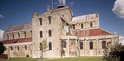
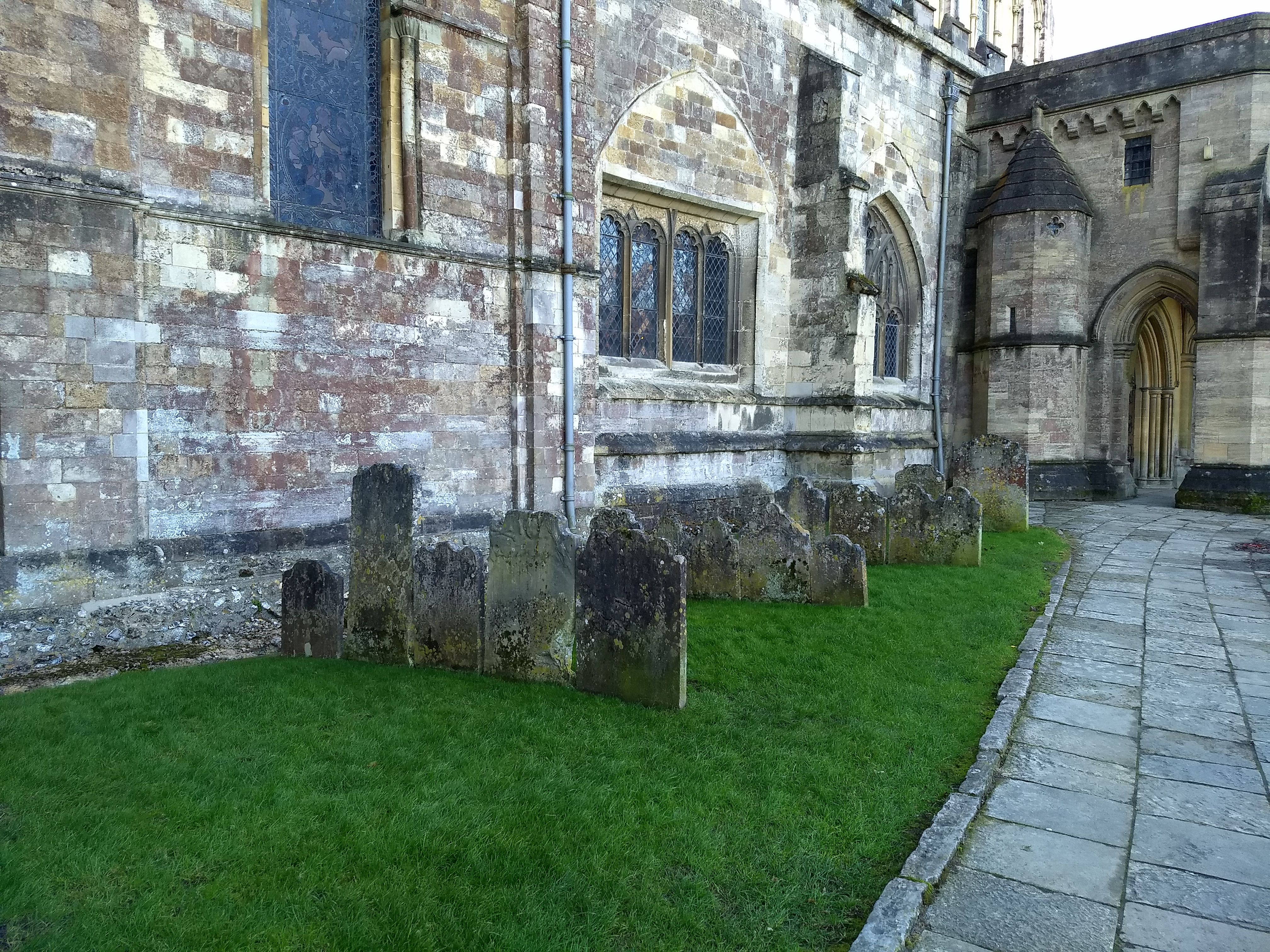
| Memorials | : | 116 |
| Location | : | Romsey, Test Valley Borough, England |
| Coordinate | : | 50.9896510, -1.5012580 |
frequently asked questions (FAQ):
-
Where is Romsey Abbey?
Romsey Abbey is located at Romsey, Test Valley Borough ,Hampshire ,England.
-
Romsey Abbey cemetery's updated grave count on graveviews.com?
116 memorials
-
Where are the coordinates of the Romsey Abbey?
Latitude: 50.9896510
Longitude: -1.5012580
Nearby Cemetories:
1. Botley Road Cemetery
Romsey, Test Valley Borough, England
Coordinate: 50.9884090, -1.4784770
2. Woodley Cemetery
Romsey, Test Valley Borough, England
Coordinate: 51.0075340, -1.4724670
3. St Andrew Churchyard
Timsbury, Test Valley Borough, England
Coordinate: 51.0193310, -1.5084530
4. All Saints Churchyard
Awbridge, Test Valley Borough, England
Coordinate: 51.0095230, -1.5391870
5. St Boniface Churchyard
Nursling, Test Valley Borough, England
Coordinate: 50.9464660, -1.4896760
6. All Saints Churchyard
Braishfield, Test Valley Borough, England
Coordinate: 51.0271030, -1.4650780
7. St Margaret of Antioch Churchyard
East Wellow, Test Valley Borough, England
Coordinate: 50.9822010, -1.5699490
8. St John the Baptist Churchyard
North Baddesley, Test Valley Borough, England
Coordinate: 50.9858300, -1.4283100
9. St John the Evangelist Churchyard
Rownhams, Test Valley Borough, England
Coordinate: 50.9520900, -1.4541200
10. St. Mary's Churchyard
Michelmersh, Test Valley Borough, England
Coordinate: 51.0378900, -1.5078630
11. St Andrew Church Cemetery
Mottisfont, Test Valley Borough, England
Coordinate: 51.0377320, -1.5363190
12. St. Mark's Churchyard
Ampfield, Test Valley Borough, England
Coordinate: 51.0093350, -1.4211790
13. St Andrew Churchyard
Mottisfont, Test Valley Borough, England
Coordinate: 51.0391010, -1.5367710
14. St. Deny's Churchyard
Chilworth, Test Valley Borough, England
Coordinate: 50.9669770, -1.4226050
15. St. Leonard Churchyard
Sherfield English, Test Valley Borough, England
Coordinate: 51.0001130, -1.5875130
16. Mottisfont Abbey
Mottisfont, Test Valley Borough, England
Coordinate: 51.0412080, -1.5366290
17. St Peter Churchyard
Plaitford, Test Valley Borough, England
Coordinate: 50.9815600, -1.6052890
18. St. John Churchyard
Lockerley, Test Valley Borough, England
Coordinate: 51.0387300, -1.5757930
19. Ramalley Cemetery
Chandlers Ford, Eastleigh Borough, England
Coordinate: 50.9912950, -1.3914870
20. St. John's Churchyard
Farley Chamberlayne, City of Winchester, England
Coordinate: 51.0449700, -1.4343600
21. Pine Road Cemetery
Chandlers Ford, Eastleigh Borough, England
Coordinate: 50.9969590, -1.3904110
22. Hollybrook Cemetery
Southampton, Southampton Unitary Authority, England
Coordinate: 50.9340680, -1.4312970
23. St. Mary's Churchyard
Copythorne, New Forest District, England
Coordinate: 50.9307300, -1.5641400
24. Hollybrook War Memorial
Southampton, Southampton Unitary Authority, England
Coordinate: 50.9337420, -1.4311350