
| Memorials | : | 0 |
| Location | : | Polk County, USA |
| Coordinate | : | 35.2793999, -82.3035965 |
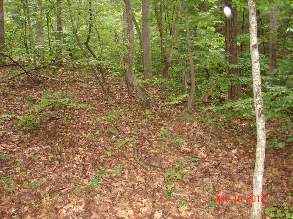
| Description | : | 1. There are two Bradley Cemeteries on Green River Cove Road. The second Bradley Cemetery is approximately 1.4 miles NE of this one. 2. There the last burial here was in 1879 according to the current landowners (and it has been in his family since the 1930s). 3. There are no Bradleys buried here according to the Bradley family. The currently landowner is a Bradley descendant. |
frequently asked questions (FAQ):
-
Where is Bradley Cemetery?
Bradley Cemetery is located at Polk County ,North Carolina ,USA.
-
Bradley Cemetery cemetery's updated grave count on graveviews.com?
0 memorials
-
Where are the coordinates of the Bradley Cemetery?
Latitude: 35.2793999
Longitude: -82.3035965
Nearby Cemetories:
1. Jones-Price Cemetery
Polk County, USA
Coordinate: 35.2933006, -82.2966995
2. Bradley Cemetery
Polk County, USA
Coordinate: 35.2935982, -82.2857971
3. Holbert Cove Family Cemetery
Polk County, USA
Coordinate: 35.2554270, -82.3033690
4. Patty Cemetery
Polk County, USA
Coordinate: 35.3041992, -82.2786026
5. Friendship Baptist Church Cemetery
Saluda, Polk County, USA
Coordinate: 35.2472300, -82.3236400
6. Saluda City Cemetery
Saluda, Polk County, USA
Coordinate: 35.2438600, -82.3505400
7. Arledge Cemetery
Mill Spring, Polk County, USA
Coordinate: 35.3154550, -82.2534460
8. Jackson at Bright's Creek Cemetery
Polk County, USA
Coordinate: 35.3317700, -82.2672800
9. Reese Bradley Cemetery
Dana, Henderson County, USA
Coordinate: 35.3386500, -82.3294800
10. Early Cemetery
Mill Spring, Polk County, USA
Coordinate: 35.3278821, -82.2504389
11. Williams Cemetery
Tryon, Polk County, USA
Coordinate: 35.2534320, -82.2286460
12. Stepp Cemetery
Hendersonville, Henderson County, USA
Coordinate: 35.3365000, -82.3464000
13. Stepp Round Hill Cemetery
Hendersonville, Henderson County, USA
Coordinate: 35.3367483, -82.3464429
14. Fork Creek Baptist Cemetery
Saluda, Polk County, USA
Coordinate: 35.2122002, -82.3225861
15. Gilbert-Justus Family Cemetery
Upward, Henderson County, USA
Coordinate: 35.2861000, -82.3894380
16. Jones Family Cemetery at Upward
Upward, Henderson County, USA
Coordinate: 35.3022003, -82.3855972
17. Basiewicz Family Cemetery
Dana, Henderson County, USA
Coordinate: 35.3343700, -82.3603700
18. Tryon Presbyterian Church Memorial Garden
Tryon, Polk County, USA
Coordinate: 35.2236490, -82.2455250
19. Hammett Family Cemetery
Upward, Henderson County, USA
Coordinate: 35.3090400, -82.3868630
20. Silver Creek Baptist Church Cemetery
Mill Spring, Polk County, USA
Coordinate: 35.3209460, -82.2270300
21. Old Mountain Page Baptist Cemetery
Mountain Page, Henderson County, USA
Coordinate: 35.2190300, -82.3607200
22. Refuge Baptist Church Cemetery
Dana, Henderson County, USA
Coordinate: 35.3288002, -82.3751984
23. Union Hill Holiness Baptist Church Cemetery
Hendersonville, Henderson County, USA
Coordinate: 35.3522000, -82.3395000
24. Hill Family Cemetery
Dana, Henderson County, USA
Coordinate: 35.3416300, -82.3652940