
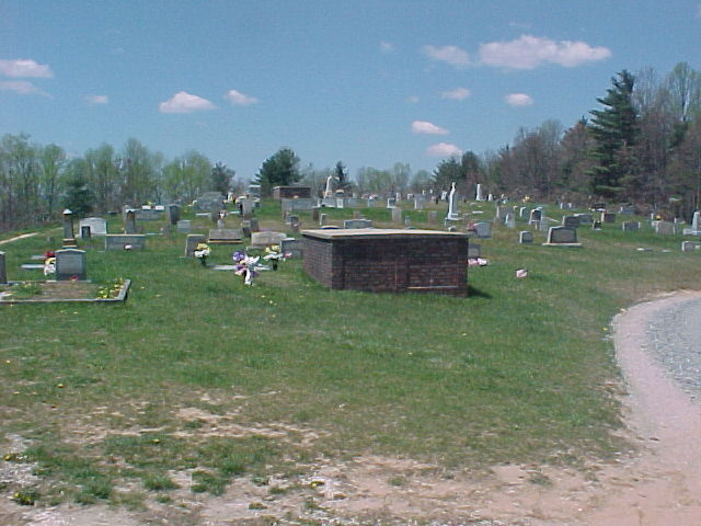
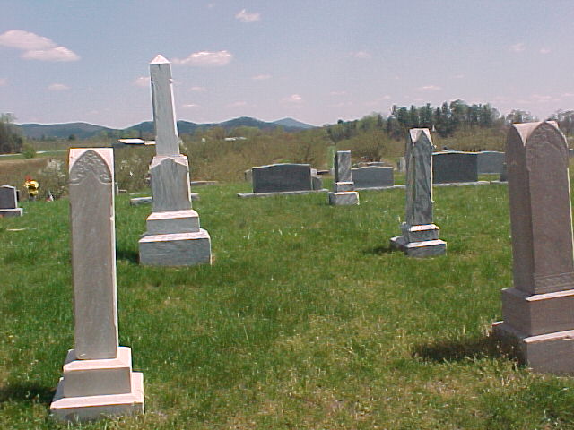
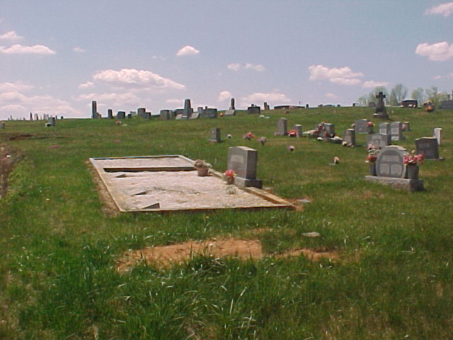
| Memorials | : | 7 |
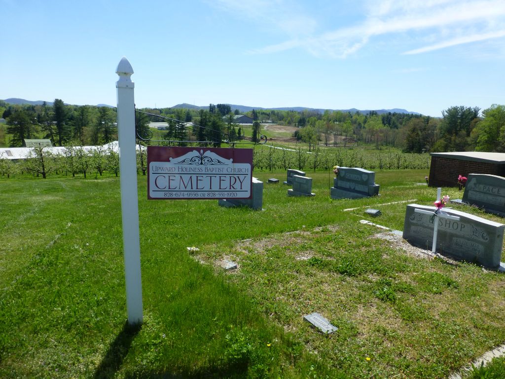
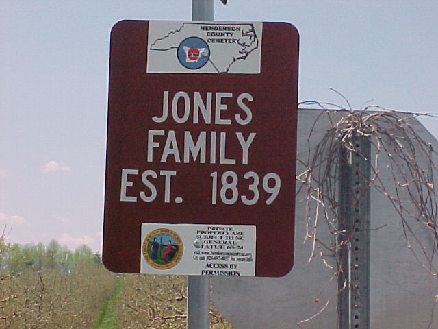
| Location | : | Upward, Henderson County, USA |
| Coordinate | : | 35.3022003, -82.3855972 |
| Description | : | Take I-26 from Hendersonville, Exit # 22, Upward, and turn left. Turn left again between two apple orchards, cemetery is one-eighth mile on the left. |
frequently asked questions (FAQ):
-
Where is Jones Family Cemetery at Upward?
Jones Family Cemetery at Upward is located at Upward, Henderson County ,North Carolina ,USA.
-
Jones Family Cemetery at Upward cemetery's updated grave count on graveviews.com?
7 memorials
-
Where are the coordinates of the Jones Family Cemetery at Upward?
Latitude: 35.3022003
Longitude: -82.3855972
Nearby Cemetories:
1. Hammett Family Cemetery
Upward, Henderson County, USA
Coordinate: 35.3090400, -82.3868630
2. Gilbert-Justus Family Cemetery
Upward, Henderson County, USA
Coordinate: 35.2861000, -82.3894380
3. Tracy Grove Baptist Church
Henderson County, USA
Coordinate: 35.3142014, -82.4045029
4. Bethel Wesleyan Church Cemetery
Henderson County, USA
Coordinate: 35.3157234, -82.4103165
5. Refuge Baptist Church Cemetery
Dana, Henderson County, USA
Coordinate: 35.3288002, -82.3751984
6. Oak Grove Baptist Church Cemetery
East Flat Rock, Henderson County, USA
Coordinate: 35.2729000, -82.4031580
7. Dana United Methodist Church Cemetery
Dana, Henderson County, USA
Coordinate: 35.3367271, -82.3744049
8. Basiewicz Family Cemetery
Dana, Henderson County, USA
Coordinate: 35.3343700, -82.3603700
9. Dana Baptist Church Cemetery
Dana, Henderson County, USA
Coordinate: 35.3395300, -82.3729300
10. Anders Cemetery
East Flat Rock, Henderson County, USA
Coordinate: 35.2654700, -82.4064300
11. Oakland Cemetery
East Flat Rock, Henderson County, USA
Coordinate: 35.2835999, -82.4302979
12. Hill Family Cemetery
Dana, Henderson County, USA
Coordinate: 35.3416300, -82.3652940
13. Forest Lawn Memorial Park
Henderson County, USA
Coordinate: 35.3225403, -82.4362411
14. Stepp Cemetery
Hendersonville, Henderson County, USA
Coordinate: 35.3365000, -82.3464000
15. Stepp Round Hill Cemetery
Hendersonville, Henderson County, USA
Coordinate: 35.3367483, -82.3464429
16. Pinecrest Presbyterian Church Memorial Garden
Flat Rock, Henderson County, USA
Coordinate: 35.2822100, -82.4426360
17. Fair Haven Baptist Church Cemetery
Hendersonville, Henderson County, USA
Coordinate: 35.3447800, -82.4203100
18. Saint John In the Wilderness Cemetery
Flat Rock, Henderson County, USA
Coordinate: 35.2821170, -82.4435670
19. Mud Creek Baptist Church Cemetery
Flat Rock, Henderson County, USA
Coordinate: 35.2905998, -82.4536972
20. Reese Bradley Cemetery
Dana, Henderson County, USA
Coordinate: 35.3386500, -82.3294800
21. Moores Grove Methodist Cemetery
Henderson County, USA
Coordinate: 35.3488007, -82.4318008
22. Ebenezer Baptist Church Cemetery
Hendersonville, Henderson County, USA
Coordinate: 35.3498001, -82.4326019
23. Fortune-Kuykendall Cemetery
Zirconia, Henderson County, USA
Coordinate: 35.2424000, -82.4032000
24. Union Hill Holiness Baptist Church Cemetery
Hendersonville, Henderson County, USA
Coordinate: 35.3522000, -82.3395000