
| Memorials | : | 2 |
| Location | : | Raytown, Jackson County, USA |
| Coordinate | : | 39.0380000, -94.4295700 |
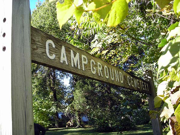
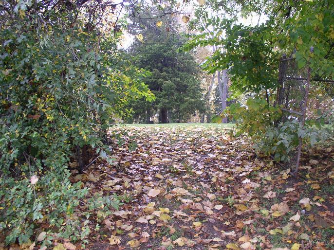
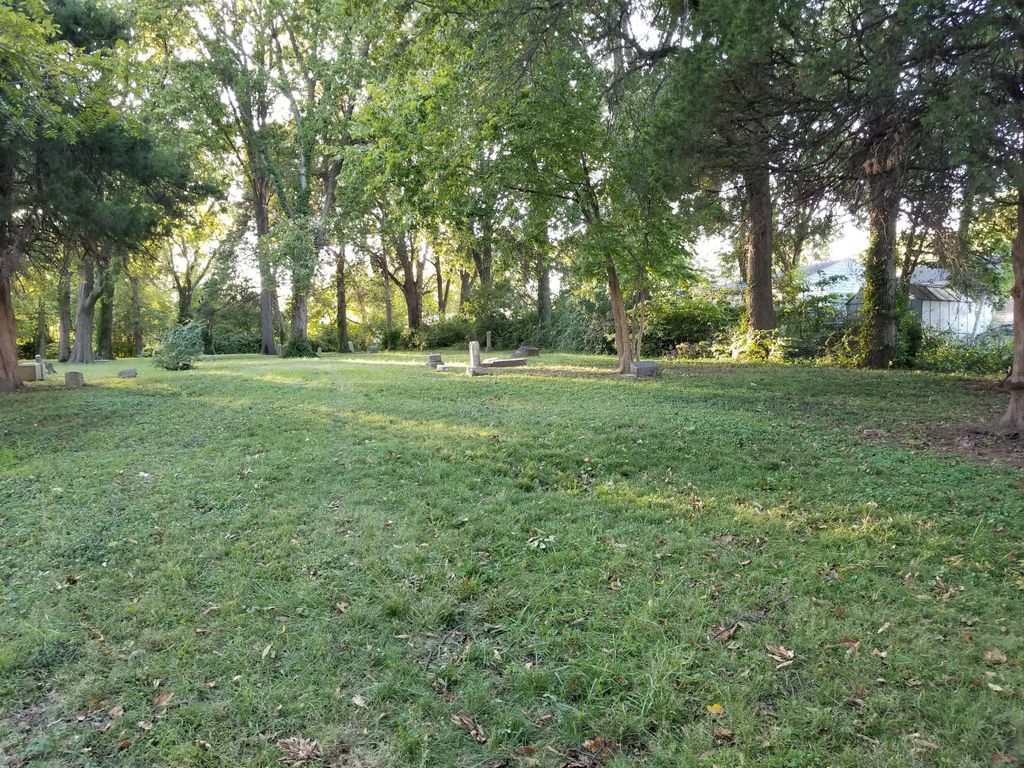
| Description | : | Located on Norfleet Road between 40 Highway and 47th Street, specifically between 46th Street and 46th Terrace on Norfleet, west side of road. No cemetery sign - one has to look through the trees. There are hardly any stones there anymore. Records show that the cemetery is also on the east side of Norfleet. There are very few remaining headstones in this cemetery. |
frequently asked questions (FAQ):
-
Where is Campground Cemetery?
Campground Cemetery is located at 4604 S. Norfleet Road Independence, Jackson County ,Missouri ,USA.
-
Campground Cemetery cemetery's updated grave count on graveviews.com?
2 memorials
-
Where are the coordinates of the Campground Cemetery?
Latitude: 39.0380000
Longitude: -94.4295700
Nearby Cemetories:
1. House & McMonigle Cemetery
Independence, Jackson County, USA
Coordinate: 39.0250300, -94.4152710
2. Noland Cemetery
Kansas City, Jackson County, USA
Coordinate: 39.0265700, -94.4005700
3. Brooking Cemetery
Raytown, Jackson County, USA
Coordinate: 39.0269012, -94.4597015
4. West Fork Baptist Cemetery
Bristol, Jackson County, USA
Coordinate: 39.0110100, -94.4443700
5. Saint Michael's Memorial Garden
Independence, Jackson County, USA
Coordinate: 39.0468200, -94.3877300
6. Mount Carmel Cemetery
Raytown, Jackson County, USA
Coordinate: 39.0228004, -94.4705963
7. Luttrell Cemetery
Independence, Jackson County, USA
Coordinate: 39.0504700, -94.3839300
8. Pitcher Cemetery
Independence, Jackson County, USA
Coordinate: 39.0635986, -94.4702988
9. Hylton Cemetery
Kansas City, Jackson County, USA
Coordinate: 39.0013100, -94.3887600
10. West Family Cemetery
Raytown, Jackson County, USA
Coordinate: 39.0020900, -94.4729600
11. Hill Park Cemetery
Independence, Jackson County, USA
Coordinate: 39.0835991, -94.4539032
12. Woodlawn Cemetery
Independence, Jackson County, USA
Coordinate: 39.0856018, -94.4107971
13. Blue Ridge Lawn Memorial Gardens
Kansas City, Jackson County, USA
Coordinate: 39.0760002, -94.4717026
14. Collings Cemetery
Kansas City, Jackson County, USA
Coordinate: 39.0206200, -94.4908000
15. Leeds Cemetery
Kansas City, Jackson County, USA
Coordinate: 39.0433100, -94.4957500
16. Cole Cemetery
Kansas City, Jackson County, USA
Coordinate: 39.0331000, -94.4992400
17. Rice Cemetery
Kansas City, Jackson County, USA
Coordinate: 39.0193400, -94.4955700
18. McPherson Cemetery
Lee's Summit, Jackson County, USA
Coordinate: 38.9982700, -94.3811000
19. Moore Family Cemetery
Kansas City, Jackson County, USA
Coordinate: 38.9867900, -94.4015700
20. Trinity Episcopal Church Columbarium
Independence, Jackson County, USA
Coordinate: 39.0952300, -94.4166400
21. Highland Cemetery
Kansas City, Jackson County, USA
Coordinate: 39.0853004, -94.4760971
22. Floral Hills Cemetery
Kansas City, Jackson County, USA
Coordinate: 38.9972000, -94.4878006
23. Kehilath Israel Blue Ridge Cemetery
Independence, Jackson County, USA
Coordinate: 39.0875015, -94.4766998
24. Harry S. Truman Library and Museum
Independence, Jackson County, USA
Coordinate: 39.1035200, -94.4213900