
| Memorials | : | 21 |
| Location | : | Brookwood, Woking Borough, England |
| Coordinate | : | 51.3012619, -0.6419710 |
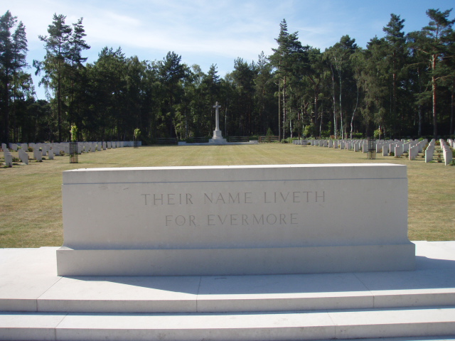
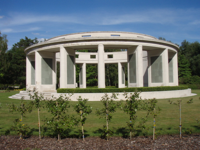
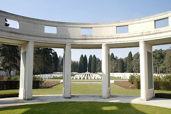
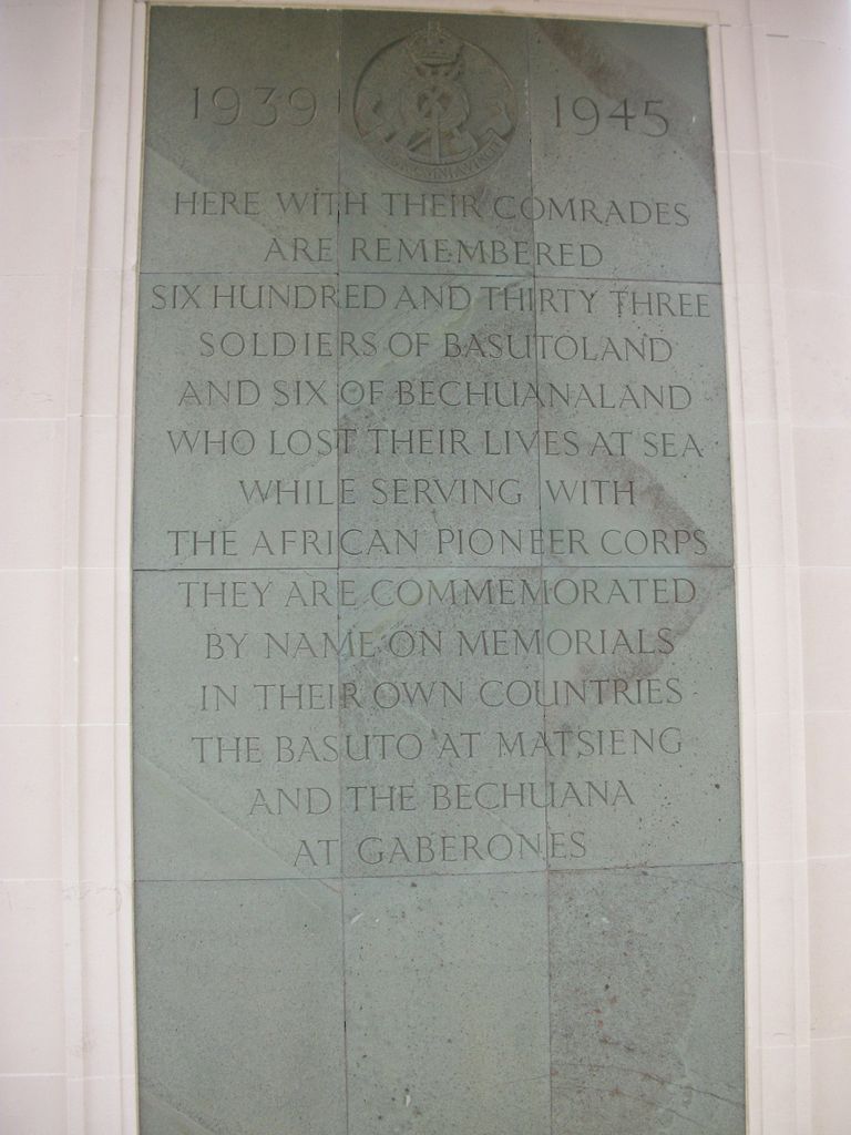
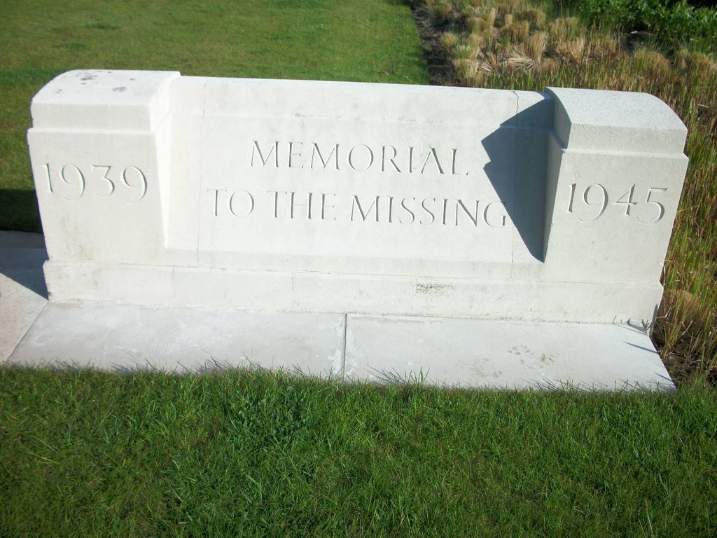
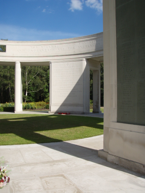
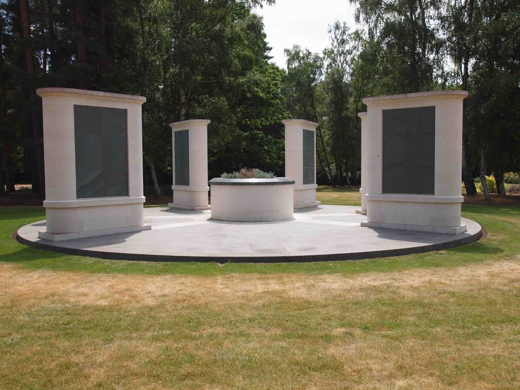
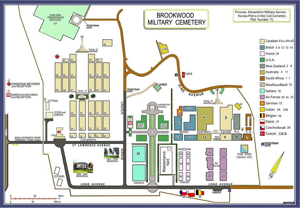
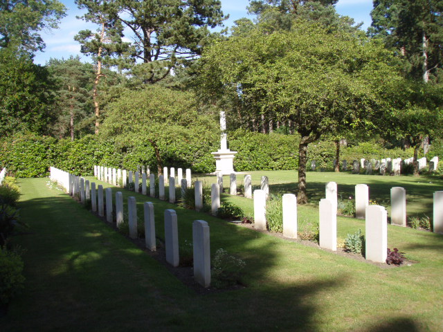
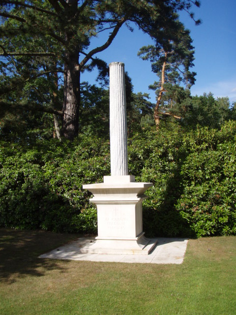
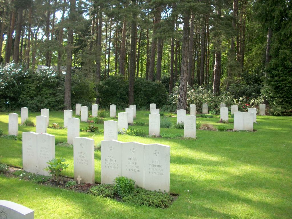
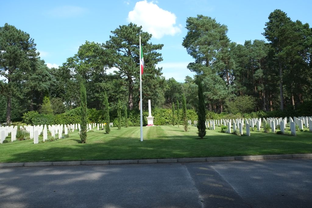
| Description | : | Brookwood Military Cemetery covers about 37 acres (15 ha) and is the largest Commonwealth war cemetery in the United Kingdom. The land was set aside during World War I to provide a burial site for men and women of Commonwealth and American armed forces who died in the United Kingdom of wounds. It now contains 1,601 Commonwealth burials from World War I and 3,476 from World War II (the latter including 3 unidentified British and 2 unidentified Canadian airmen). Within this, there is a particularly large Canadian section, which includes 43 men who died of wounds following the Dieppe Raid... Read More |
frequently asked questions (FAQ):
-
Where is Brookwood Military Cemetery?
Brookwood Military Cemetery is located at Brookwood, Woking Borough ,Surrey , GU24 0JBEngland.
-
Brookwood Military Cemetery cemetery's updated grave count on graveviews.com?
21 memorials
-
Where are the coordinates of the Brookwood Military Cemetery?
Latitude: 51.3012619
Longitude: -0.6419710
Nearby Cemetories:
1. Brookwood 1914-1918 Memorial
Brookwood, Woking Borough, England
Coordinate: 51.3007800, -0.6403300
2. Brookwood 1939-1945 Memorial
Brookwood, Woking Borough, England
Coordinate: 51.3002815, -0.6409460
3. Brookwood American Military Cemetery
Brookwood, Woking Borough, England
Coordinate: 51.3014080, -0.6397010
4. Brookwood French Military Cemetery
Brookwood, Woking Borough, England
Coordinate: 51.3011700, -0.6384920
5. Brookwood Cemetery
Brookwood, Woking Borough, England
Coordinate: 51.3013535, -0.6297340
6. St Michael and All Angels Churchyard
Pirbright, Guildford Borough, England
Coordinate: 51.2945800, -0.6500000
7. Woking Crematorium
Woking, Woking Borough, England
Coordinate: 51.3122590, -0.6022630
8. St. John the Baptist Churchyard
Bisley, Surrey Heath Borough, England
Coordinate: 51.3273600, -0.6266370
9. St John the Baptist Churchyard
St Johns, Woking Borough, England
Coordinate: 51.3104700, -0.5929170
10. St Mary the Virgin Churchyard
Worplesdon, Guildford Borough, England
Coordinate: 51.2730100, -0.6067360
11. Deepcut Military Cemetery
Deepcut, Surrey Heath Borough, England
Coordinate: 51.3062170, -0.7049060
12. Holy Trinity Churchyard
West End, Surrey Heath Borough, England
Coordinate: 51.3434880, -0.6420670
13. St Mary the Virgin Churchyard
Horsell, Woking Borough, England
Coordinate: 51.3227460, -0.5703770
14. St. Mark's Churchyard
Pirbright, Guildford Borough, England
Coordinate: 51.2549050, -0.6812810
15. St Edward the Confessor Churchyard
Sutton Green, Woking Borough, England
Coordinate: 51.2741930, -0.5608230
16. Stoke New Cemetery
Guildford, Guildford Borough, England
Coordinate: 51.2543900, -0.5824700
17. Stoke Old Cemetery
Guildford, Guildford Borough, England
Coordinate: 51.2522600, -0.5828500
18. St Peter's Churchyard
Frimley, Surrey Heath Borough, England
Coordinate: 51.3149770, -0.7393330
19. Valley End St Saviour Churchyard
Chobham, Surrey Heath Borough, England
Coordinate: 51.3647100, -0.6317100
20. Church of Saint Francis of Assisi
Camberley, Surrey Heath Borough, England
Coordinate: 51.3311000, -0.7350400
21. St Peter's Church
Old Woking, Woking Borough, England
Coordinate: 51.3017410, -0.5372560
22. Ash War Memorial
Ash, Guildford Borough, England
Coordinate: 51.2546746, -0.7157783
23. Windlesham Cemetery
Windlesham, Surrey Heath Borough, England
Coordinate: 51.3654000, -0.6654900
24. Old Woking Burial Ground
Old Woking, Woking Borough, England
Coordinate: 51.3026230, -0.5351320