
| Memorials | : | 0 |
| Location | : | West End, Surrey Heath Borough, England |
| Coordinate | : | 51.3434880, -0.6420670 |
| Description | : | West End is a village in the county of Surrey, England. West End is between Camberley and Woking, each around 4 miles or 6 to 7 km away. The A322 road runs north-south through the village, and leads to junction 3 of the M3 motorway, about 2 miles or 3 km away. The nearest stations are Bagshot to the north and Brookwood to the south, each about 3 miles or 5 km distant. Neighbouring villages include Donkey Town, Bisley, Lightwater, Knaphill and Chobham. Located in the borough of Surrey Heath, it adjoins the heath, Westend Common, which lies to its west... Read More |
frequently asked questions (FAQ):
-
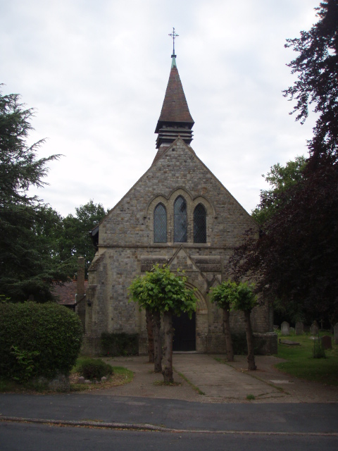
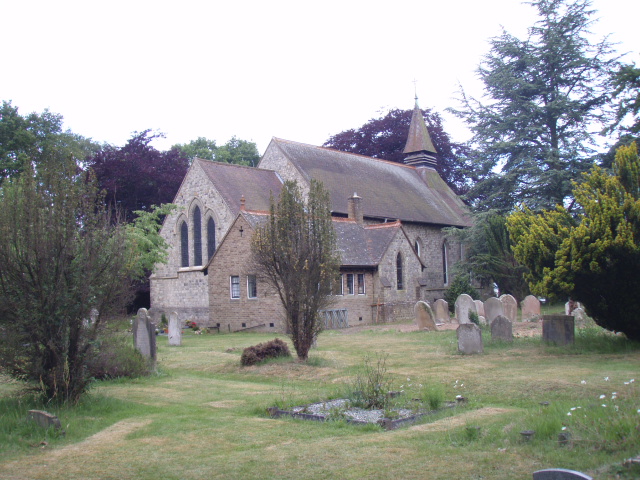
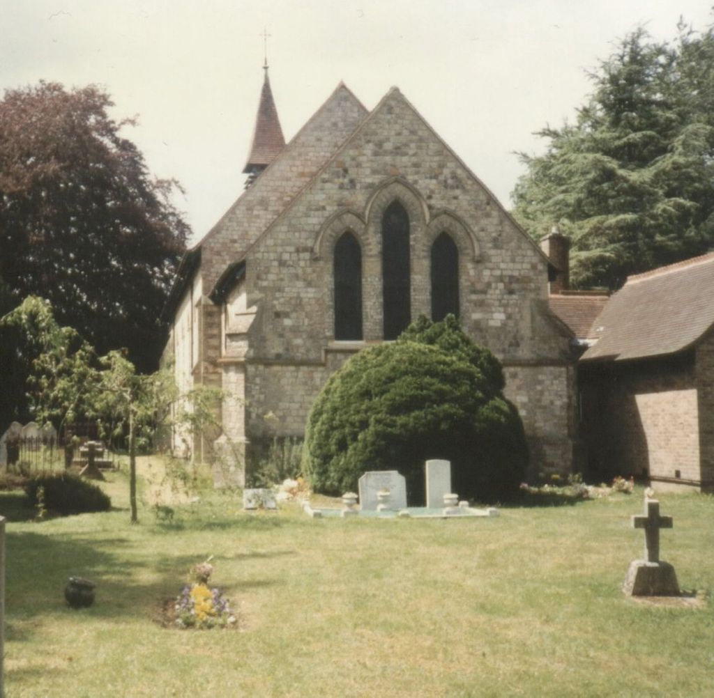
Where is Holy Trinity Churchyard?
Holy Trinity Churchyard is located at Church Road West End, Surrey Heath Borough ,Surrey , GU24 9QTEngland.
-
Holy Trinity Churchyard cemetery's updated grave count on graveviews.com?
0 memorials
-
Where are the coordinates of the Holy Trinity Churchyard?
Latitude: 51.3434880
Longitude: -0.6420670

Nearby Cemetories:
1. St. John the Baptist Churchyard
Bisley, Surrey Heath Borough, England
Coordinate: 51.3273600, -0.6266370
2. Valley End St Saviour Churchyard
Chobham, Surrey Heath Borough, England
Coordinate: 51.3647100, -0.6317100
3. Windlesham Cemetery
Windlesham, Surrey Heath Borough, England
Coordinate: 51.3654000, -0.6654900
4. Woking Crematorium
Woking, Woking Borough, England
Coordinate: 51.3122590, -0.6022630
5. Brookwood American Military Cemetery
Brookwood, Woking Borough, England
Coordinate: 51.3014080, -0.6397010
6. Brookwood Military Cemetery
Brookwood, Woking Borough, England
Coordinate: 51.3012619, -0.6419710
7. Brookwood French Military Cemetery
Brookwood, Woking Borough, England
Coordinate: 51.3011700, -0.6384920
8. Brookwood 1914-1918 Memorial
Brookwood, Woking Borough, England
Coordinate: 51.3007800, -0.6403300
9. Brookwood Cemetery
Brookwood, Woking Borough, England
Coordinate: 51.3013535, -0.6297340
10. Brookwood 1939-1945 Memorial
Brookwood, Woking Borough, England
Coordinate: 51.3002815, -0.6409460
11. St John the Baptist Churchyard
St Johns, Woking Borough, England
Coordinate: 51.3104700, -0.5929170
12. St Michael and All Angels Churchyard
Pirbright, Guildford Borough, England
Coordinate: 51.2945800, -0.6500000
13. St Mary the Virgin Churchyard
Horsell, Woking Borough, England
Coordinate: 51.3227460, -0.5703770
14. Christ Church
Chertsey, Runnymede Borough, England
Coordinate: 51.3781700, -0.5831300
15. Deepcut Military Cemetery
Deepcut, Surrey Heath Borough, England
Coordinate: 51.3062170, -0.7049060
16. Holy Trinity Churchyard
Sunningdale, Windsor and Maidenhead Royal Borough, England
Coordinate: 51.3989170, -0.6304810
17. St Michael and All Angels Churchyard
Sunninghill, Windsor and Maidenhead Royal Borough, England
Coordinate: 51.4000090, -0.6570340
18. Sunningdale Cemetery
Sunningdale, Windsor and Maidenhead Royal Borough, England
Coordinate: 51.4021820, -0.6322850
19. Church of Saint Francis of Assisi
Camberley, Surrey Heath Borough, England
Coordinate: 51.3311000, -0.7350400
20. All Souls Churchyard
South Ascot, Windsor and Maidenhead Royal Borough, England
Coordinate: 51.4035450, -0.6745890
21. St Peter's Churchyard
Frimley, Surrey Heath Borough, England
Coordinate: 51.3149770, -0.7393330
22. Christ Church Cemetery
Ottershaw, Runnymede Borough, England
Coordinate: 51.3610140, -0.5353310
23. St. Michael‘s Churchyard
Camberley, Surrey Heath Borough, England
Coordinate: 51.3367810, -0.7596560
24. St Mary the Virgin Churchyard
Worplesdon, Guildford Borough, England
Coordinate: 51.2730100, -0.6067360