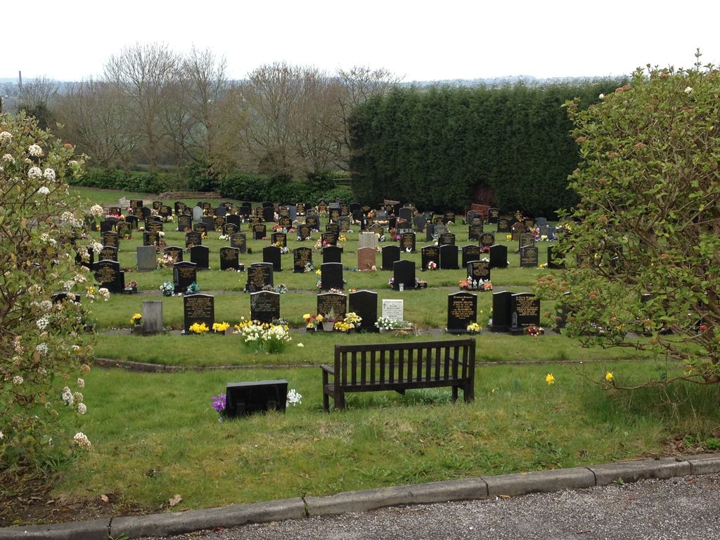
| Memorials | : | 0 |
| Location | : | Brown Edge, Staffordshire Moorlands District, England |
frequently asked questions (FAQ):
-
Where is Brown Edge Lawn Cemetery?
Brown Edge Lawn Cemetery is located at Brown Edge, Staffordshire Moorlands District, England.
-
Brown Edge Lawn Cemetery cemetery's updated grave count on graveviews.com?
0 memorials
Nearby Cemetories:
1. St Leonard Churchyard
Bradley in the Moors, Staffordshire Moorlands District, England
2. Cheddleton Asylum Burial Ground
Cheddleton, Staffordshire Moorlands District, England
3. St Edward the Confessor Churchyard
Cheddleton, Staffordshire Moorlands District, England
Coordinate: 52.9824410, -2.0733810
4. St Edwards Lawn Cemetery
Cheddleton, Staffordshire Moorlands District, England
Coordinate: 52.9875710, -2.0452820
5. St. Mark the Evangelist Churchyard
Foxt, Staffordshire Moorlands District, England
Coordinate: 53.1135330, -2.0879040
6. Buxton Road Cemetery
Leek, Staffordshire Moorlands District, England
Coordinate: 53.1139430, -2.0878020
7. Leek Cemetery
Leek, Staffordshire Moorlands District, England
8. St Edward the Confessor Churchyard
Leek, Staffordshire Moorlands District, England
Coordinate: 53.0887220, -2.0625850
9. St Luke Churchyard
Leek, Staffordshire Moorlands District, England
Coordinate: 53.0409100, -2.0555020
10. Tomkin Chapel
Stanley, Staffordshire Moorlands District, England
11. St Margaret Churchyard
Wetton, Staffordshire Moorlands District, England
Coordinate: 53.0558430, -2.1082770
12. Christ Church Churchyard
Biddulph Moor, Staffordshire Moorlands District, England
Coordinate: 53.1062600, -1.8814800
13. Hill Top Methodist Church Churchyard
Biddulph Moor, Staffordshire Moorlands District, England
14. Caverswall Cemetery
Caverswall, Staffordshire Moorlands District, England
15. St Peter Churchyard
Caverswall, Staffordshire Moorlands District, England
Coordinate: 52.9824410, -2.0733810
16. All Saints Churchyard
Dilhorne, Staffordshire Moorlands District, England
Coordinate: 52.9875710, -2.0452820
17. St. Michael and All Angels Churchyard
Horton, Staffordshire Moorlands District, England
Coordinate: 53.1135330, -2.0879040
18. St. Michael's Churchyard Extension
Horton, Staffordshire Moorlands District, England
Coordinate: 53.1139430, -2.0878020
19. Longsdon Cemetery
Longsdon, Staffordshire Moorlands District, England
20. St Chad Churchyard
Longsdon, Staffordshire Moorlands District, England
Coordinate: 53.0887220, -2.0625850
21. St John the Baptist Churchyard
Wetley Rocks, Staffordshire Moorlands District, England
Coordinate: 53.0409100, -2.0555020
22. St Peter Churchyard
Wetley Rocks, Staffordshire Moorlands District, England
23. St Chad Churchyard
Bagnall, Staffordshire Moorlands District, England
Coordinate: 53.0558430, -2.1082770
24. St. Bartholomew's Churchyard
Butterton, Staffordshire Moorlands District, England
Coordinate: 53.1062600, -1.8814800

