
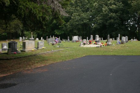
| Memorials | : | 0 |
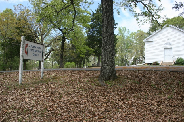
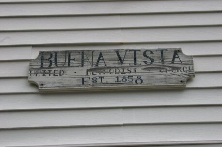
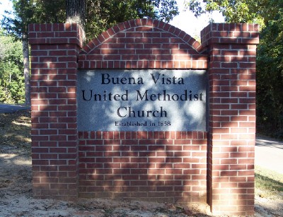
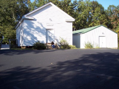
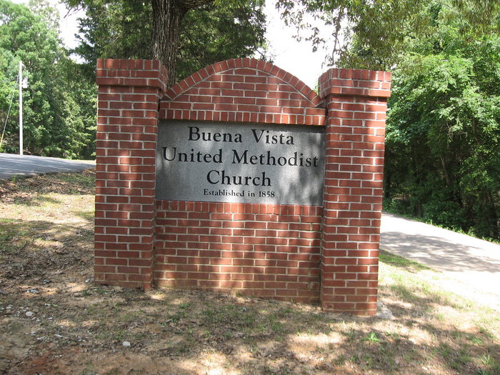
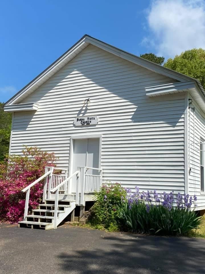
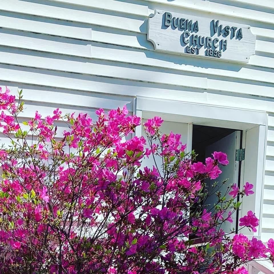
| Location | : | Bethel Springs, McNairy County, USA |
| Coordinate | : | 35.2394910, -88.6520210 |
| Description | : | From the intersection of Buena Vista Rd. & US-45, west of Bethel Springs, travel west on Buena Vista Rd. for 2.2 mi.; turning southwest onto Tull Rd., going 0.2 mi. to the driveway on the north (right) leading to the cemetery & to the Buena Vista U.M. Church. |
frequently asked questions (FAQ):
-
Where is Buena Vista Church Cemetery?
Buena Vista Church Cemetery is located at 3030 Tull Road Bethel Springs, McNairy County ,Tennessee , 38315USA.
-
Buena Vista Church Cemetery cemetery's updated grave count on graveviews.com?
0 memorials
-
Where are the coordinates of the Buena Vista Church Cemetery?
Latitude: 35.2394910
Longitude: -88.6520210
Nearby Cemetories:
1. New Salem Church Cemetery
Bethel Springs, McNairy County, USA
Coordinate: 35.2608980, -88.6389090
2. McIntire Cemetery
Bethel Springs, McNairy County, USA
Coordinate: 35.2160000, -88.6756000
3. Motley Family Cemetery
Bethel Springs, McNairy County, USA
Coordinate: 35.2294220, -88.6108090
4. Curtis Hill Church Cemetery
Bethel Springs, McNairy County, USA
Coordinate: 35.2257840, -88.6947630
5. Moores Schoolhouse Church Cemetery
Bethel Springs, McNairy County, USA
Coordinate: 35.2078018, -88.6766968
6. Bethel Springs Cemetery
Bethel Springs, McNairy County, USA
Coordinate: 35.2332380, -88.6066780
7. Gateway Holiness Chapel Cemetery
Bethel Springs, McNairy County, USA
Coordinate: 35.2757390, -88.6718300
8. Lake Hill Memory Gardens
Bethel Springs, McNairy County, USA
Coordinate: 35.2169810, -88.6048380
9. Refuge Church Cemetery
Finger, McNairy County, USA
Coordinate: 35.2888985, -88.6616974
10. Center Ridge Church Cemetery
Bethel Springs, McNairy County, USA
Coordinate: 35.2499530, -88.7128610
11. Ingle Cemetery
Chester County, USA
Coordinate: 35.2772010, -88.7143430
12. Ingle Cemetery
Bethel Springs, McNairy County, USA
Coordinate: 35.2257860, -88.7295090
13. Rose Hill Cemetery
Forty Forks, McNairy County, USA
Coordinate: 35.2673800, -88.5787980
14. Little Hatchie Cemetery
Woodville, Chester County, USA
Coordinate: 35.2771988, -88.7213974
15. Liberty Church Cemetery
Forty Forks, McNairy County, USA
Coordinate: 35.2770890, -88.5806060
16. Chapel Hill Cemetery
Bethel Springs, McNairy County, USA
Coordinate: 35.2373190, -88.5663610
17. Chambers Chapel Cemetery
McNairy, McNairy County, USA
Coordinate: 35.3044180, -88.6185380
18. Oak Hill Cemetery
Selmer, McNairy County, USA
Coordinate: 35.1785650, -88.6008290
19. Davidson Cemetery
Chester County, USA
Coordinate: 35.2984680, -88.7070160
20. Rose Creek Village Cemetery
Selmer, McNairy County, USA
Coordinate: 35.1804070, -88.7074970
21. Wallace Cemetery
Selmer, McNairy County, USA
Coordinate: 35.1663889, -88.6836111
22. Bethesda Memorial Gardens
Selmer, McNairy County, USA
Coordinate: 35.1988880, -88.5709240
23. Mount Gilead Cemetery
Rose Creek, McNairy County, USA
Coordinate: 35.2305610, -88.7466800
24. Mount Zion Baptist Church Cemetery
McNairy, McNairy County, USA
Coordinate: 35.3139000, -88.6235962