
| Memorials | : | 1 |
| Location | : | McNairy, McNairy County, USA |
| Phone | : | 731-577-9589 |
| Coordinate | : | 35.3139000, -88.6235962 |
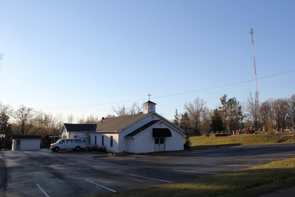
| Description | : | From the intersection of McNairy Rd. & US-45, travel east on McNairy Rd. for 0.7 mi., continuing onto Payne Rd going 0.1 mi.; turning north (left) onto Litt Wilson Rd., going 0.1 mi., passing the McNairy Baptist Church, then turning west (left) into the Church's parking lot & to the adjacent cemetery. |
frequently asked questions (FAQ):
-
Where is Mount Zion Baptist Church Cemetery?
Mount Zion Baptist Church Cemetery is located at 146 Litt Wilson Road McNairy, McNairy County ,Tennessee , 38315USA.
-
Mount Zion Baptist Church Cemetery cemetery's updated grave count on graveviews.com?
1 memorials
-
Where are the coordinates of the Mount Zion Baptist Church Cemetery?
Latitude: 35.3139000
Longitude: -88.6235962

Nearby Cemetories:
1. Chambers Chapel Cemetery
McNairy, McNairy County, USA
Coordinate: 35.3044180, -88.6185380
2. Floyd Cemetery
Finger, McNairy County, USA
Coordinate: 35.3371770, -88.6222940
3. Mount Carmel Cemetery
Finger, McNairy County, USA
Coordinate: 35.3424988, -88.6003036
4. Refuge Church Cemetery
Finger, McNairy County, USA
Coordinate: 35.2888985, -88.6616974
5. Smith Cemetery
Finger, McNairy County, USA
Coordinate: 35.3169870, -88.6766370
6. Finger Christian Fellowship Cemetery
Finger, McNairy County, USA
Coordinate: 35.3576110, -88.6189170
7. Finger Church Cemetery
Finger, McNairy County, USA
Coordinate: 35.3581900, -88.6107260
8. Liberty Church Cemetery
Forty Forks, McNairy County, USA
Coordinate: 35.2770890, -88.5806060
9. Beaty Cemetery
Forty Forks, McNairy County, USA
Coordinate: 35.2901030, -88.5676270
10. Lanes Chapel Cemetery
Finger, McNairy County, USA
Coordinate: 35.3312510, -88.5639110
11. Old Friendship Cemetery
Chester County, USA
Coordinate: 35.3622017, -88.6485977
12. New Salem Church Cemetery
Bethel Springs, McNairy County, USA
Coordinate: 35.2608980, -88.6389090
13. Gateway Holiness Chapel Cemetery
Bethel Springs, McNairy County, USA
Coordinate: 35.2757390, -88.6718300
14. Kerby Family Cemetery
Finger, McNairy County, USA
Coordinate: 35.3656810, -88.5971940
15. Rose Hill Cemetery
Forty Forks, McNairy County, USA
Coordinate: 35.2673800, -88.5787980
16. Roger Cemetery
Chester County, USA
Coordinate: 35.3386002, -88.6928024
17. Anderson Slave Cemetery
Finger, McNairy County, USA
Coordinate: 35.3598000, -88.5659000
18. Davidson Cemetery
Chester County, USA
Coordinate: 35.2984680, -88.7070160
19. Malone Cemetery
Finger, McNairy County, USA
Coordinate: 35.3602440, -88.5572960
20. Estes Church of Christ Cemetery
Henderson, Chester County, USA
Coordinate: 35.3858370, -88.6398660
21. Hendrix Cemetery
Finger, McNairy County, USA
Coordinate: 35.3189590, -88.5338280
22. Old Estes Cemetery
Henderson, Chester County, USA
Coordinate: 35.3859790, -88.6462870
23. Tillman's Chapel Cemetery
Henderson, Chester County, USA
Coordinate: 35.3894610, -88.6225830
24. Cason Cemetery
Chester County, USA
Coordinate: 35.3513985, -88.7050018