
| Memorials | : | 0 |
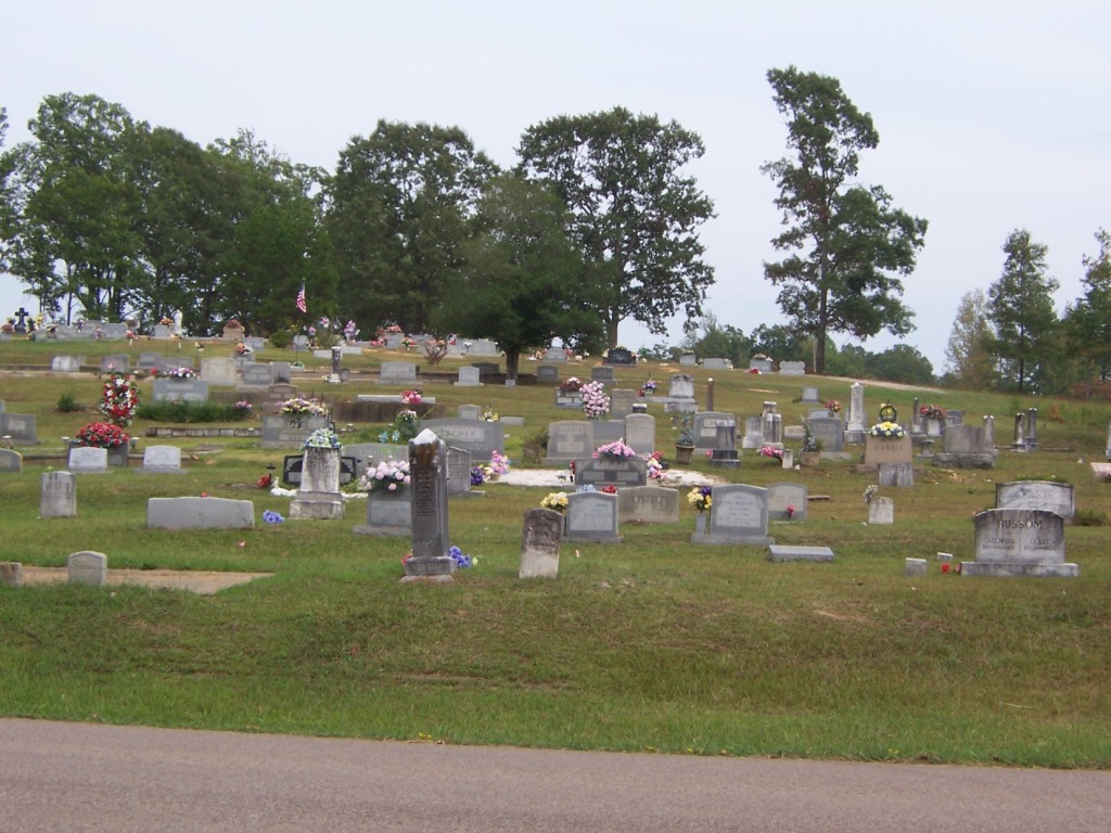
| Location | : | Finger, McNairy County, USA |
| Coordinate | : | 35.2888985, -88.6616974 |
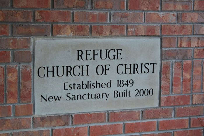
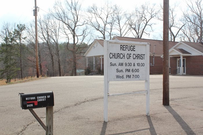
| Description | : | From the intersection of Masseyville McNairy Rd. & US-45, travel west on Masseyville McNairy Rd. for 1.7 mi.; turning south (left) onto Refuge Rd., going 0.6 mi. to cemetery on the east (left) side, just past the intersection with Shannon Rd., & across from the Refuge Church of Christ. |
frequently asked questions (FAQ):
-
Where is Refuge Church Cemetery?
Refuge Church Cemetery is located at 3495 Refuge Road Finger, McNairy County ,Tennessee ,USA.
-
Refuge Church Cemetery cemetery's updated grave count on graveviews.com?
0 memorials
-
Where are the coordinates of the Refuge Church Cemetery?
Latitude: 35.2888985
Longitude: -88.6616974
Nearby Cemetories:
1. Gateway Holiness Chapel Cemetery
Bethel Springs, McNairy County, USA
Coordinate: 35.2757390, -88.6718300
2. Smith Cemetery
Finger, McNairy County, USA
Coordinate: 35.3169870, -88.6766370
3. New Salem Church Cemetery
Bethel Springs, McNairy County, USA
Coordinate: 35.2608980, -88.6389090
4. Davidson Cemetery
Chester County, USA
Coordinate: 35.2984680, -88.7070160
5. Chambers Chapel Cemetery
McNairy, McNairy County, USA
Coordinate: 35.3044180, -88.6185380
6. Mount Zion Baptist Church Cemetery
McNairy, McNairy County, USA
Coordinate: 35.3139000, -88.6235962
7. Ingle Cemetery
Chester County, USA
Coordinate: 35.2772010, -88.7143430
8. Buena Vista Church Cemetery
Bethel Springs, McNairy County, USA
Coordinate: 35.2394910, -88.6520210
9. Little Hatchie Cemetery
Woodville, Chester County, USA
Coordinate: 35.2771988, -88.7213974
10. Roger Cemetery
Chester County, USA
Coordinate: 35.3386002, -88.6928024
11. Center Ridge Church Cemetery
Bethel Springs, McNairy County, USA
Coordinate: 35.2499530, -88.7128610
12. Hurst Cemetery
Chester County, USA
Coordinate: 35.2881012, -88.7319031
13. Floyd Cemetery
Finger, McNairy County, USA
Coordinate: 35.3371770, -88.6222940
14. Pine Bluff Cemetery
Henderson, Chester County, USA
Coordinate: 35.3087200, -88.7377130
15. Cave Springs Cemetery
Henderson, Chester County, USA
Coordinate: 35.3328018, -88.7221985
16. Liberty Church Cemetery
Forty Forks, McNairy County, USA
Coordinate: 35.2770890, -88.5806060
17. Curtis Hill Church Cemetery
Bethel Springs, McNairy County, USA
Coordinate: 35.2257840, -88.6947630
18. Rose Hill Cemetery
Forty Forks, McNairy County, USA
Coordinate: 35.2673800, -88.5787980
19. Bethel Springs Cemetery
Bethel Springs, McNairy County, USA
Coordinate: 35.2332380, -88.6066780
20. Cason Cemetery
Chester County, USA
Coordinate: 35.3513985, -88.7050018
21. Cason Cemetery
Hickory Corners, Chester County, USA
Coordinate: 35.3513480, -88.7051580
22. Motley Family Cemetery
Bethel Springs, McNairy County, USA
Coordinate: 35.2294220, -88.6108090
23. Mount Carmel Cemetery
Finger, McNairy County, USA
Coordinate: 35.3424988, -88.6003036
24. McIntire Cemetery
Bethel Springs, McNairy County, USA
Coordinate: 35.2160000, -88.6756000