
| Memorials | : | 0 |
| Location | : | Burton Joyce, Gedling Borough, England |
| Phone | : | 01159314084 |
| Website | : | www.burtonjoyceparishcouncil.org.uk/cemetery/ |
| Coordinate | : | 52.9863100, -1.0370710 |
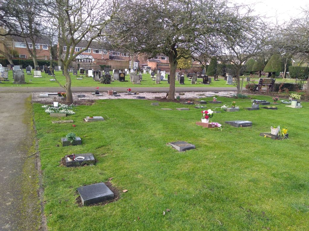
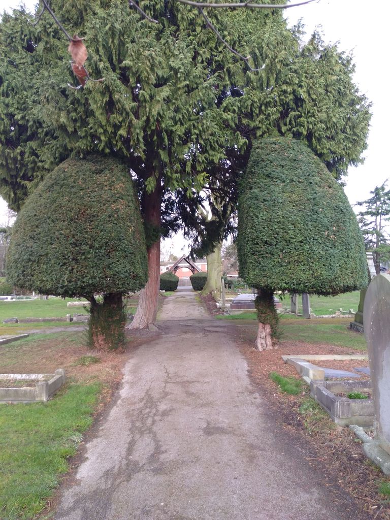
| Description | : | Burials have taken place in the Cemetery since 1879, following the closure of burials in the Churchyard by order of the Council on the 15th December 1879. The Cemetery and Garden of Rest is owned and run by Burton Joyce Parish Council. It is a beautiful, tranquil and very well maintained site. |
frequently asked questions (FAQ):
-
Where is Burton Joyce Cemetery?
Burton Joyce Cemetery is located at Main Street Burton Joyce, Gedling Borough ,Nottinghamshire , NG14 5DZEngland.
-
Burton Joyce Cemetery cemetery's updated grave count on graveviews.com?
0 memorials
-
Where are the coordinates of the Burton Joyce Cemetery?
Latitude: 52.9863100
Longitude: -1.0370710

Nearby Cemetories:
1. St. Helen's Churchyard
Burton Joyce, Gedling Borough, England
Coordinate: 52.9866700, -1.0365400
2. SS Peter & Paul Churchyard
Shelford, Rushcliffe Borough, England
Coordinate: 52.9745600, -1.0161200
3. St Luke's Churchyard
Stoke Bardolph, Gedling Borough, England
Coordinate: 52.9680500, -1.0389300
4. St. Luke's Churchyard
Stoke Bardolph, Gedling Borough, England
Coordinate: 52.9659896, -1.0404380
5. Shelford Priory
Shelford, Rushcliffe Borough, England
Coordinate: 52.9830600, -0.9994100
6. All Hallows Churchyard
Gedling, Gedling Borough, England
Coordinate: 52.9769400, -1.0805130
7. St John the Baptist Gunthorpe
Gunthorpe, Newark and Sherwood District, England
Coordinate: 52.9925600, -0.9877400
8. Gedling Cemetery
Gedling, Gedling Borough, England
Coordinate: 52.9806930, -1.0870670
9. Lowdham Saint Mary Churchyard Extension
Lowdham, Newark and Sherwood District, England
Coordinate: 53.0143500, -1.0125800
10. St Mary the Virgin Churchyard
Lowdham, Newark and Sherwood District, England
Coordinate: 53.0146670, -1.0135510
11. Carlton Cemetery
Nottingham, Nottingham Unitary Authority, England
Coordinate: 52.9682820, -1.0900230
12. Saint Peter Churchyard
East Bridgford, Rushcliffe Borough, England
Coordinate: 52.9809170, -0.9726560
13. St Mary Churchyard
Radcliffe-on-Trent, Rushcliffe Borough, England
Coordinate: 52.9464660, -1.0419420
14. Radcliffe-on-Trent Cemetery
Radcliffe-on-Trent, Rushcliffe Borough, England
Coordinate: 52.9459200, -1.0409700
15. Woodborough Cemetery
Woodborough, Gedling Borough, England
Coordinate: 53.0272840, -1.0600540
16. St Laurence's Churchyard
Gonalston, Newark and Sherwood District, England
Coordinate: 53.0201000, -0.9845830
17. St. Paul's Churchyard
Nottingham Unitary Authority, England
Coordinate: 52.9667590, -1.1172140
18. St Michael Churchyard
Hoveringham, Newark and Sherwood District, England
Coordinate: 53.0124370, -0.9603240
19. St Mary and All Saints Churchyard
Bingham, Rushcliffe Borough, England
Coordinate: 52.9522920, -0.9484950
20. Redhill Cemetery
Arnold, Nottingham Unitary Authority, England
Coordinate: 53.0066910, -1.1382950
21. St. Mary Rest Ground
Nottingham, Nottingham Unitary Authority, England
Coordinate: 52.9568310, -1.1406580
22. St. John's Carrington Churchyard
Nottingham, Nottingham Unitary Authority, England
Coordinate: 52.9755350, -1.1506790
23. National Ice Centre
Nottingham, Nottingham Unitary Authority, England
Coordinate: 52.9527790, -1.1394460
24. St Peter and St Paul Churchyard
Oxton, Newark and Sherwood District, England
Coordinate: 53.0560880, -1.0613440