
| Memorials | : | 0 |
| Location | : | Buurmalsen, Geldermalsen Municipality, Netherlands |
| Coordinate | : | 51.8873500, 5.2817100 |
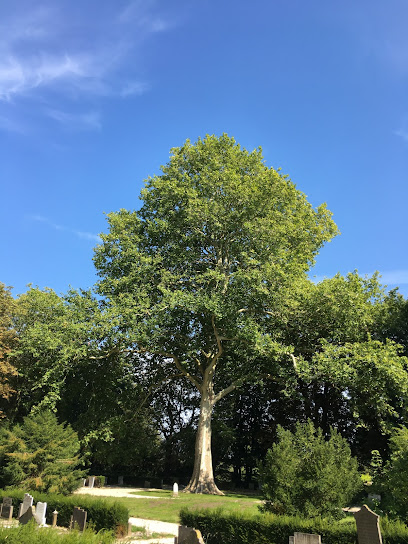
| Description | : | The town of Buurmalsen is situated to the west of Tiel off the A15 motorway. From the A15 motorway, which runs between Arnhem and Dordrecht, turn off at Meteren and follow the direction for Buurmalsen along Rijkstraatweg. Follow this road through the town and cross over the river. After the river take the first turning on the left called Lingedijk, in the direction of Tricht. The cemetery is along here on the right. |
frequently asked questions (FAQ):
-
Where is Buurmalsen General Cemetery?
Buurmalsen General Cemetery is located at Buurmalsen, Geldermalsen Municipality ,Gelderland ,Netherlands.
-
Buurmalsen General Cemetery cemetery's updated grave count on graveviews.com?
0 memorials
-
Where are the coordinates of the Buurmalsen General Cemetery?
Latitude: 51.8873500
Longitude: 5.2817100
Nearby Cemetories:
1. Geldermalsen General Cemetery
Geldermalsen, Geldermalsen Municipality, Netherlands
Coordinate: 51.8804000, 5.2984400
2. Begraafplaats Meteren
Meteren, Geldermalsen Municipality, Netherlands
Coordinate: 51.8686615, 5.2737818
3. Joodse Begraafplaats
Geldermalsen Municipality, Netherlands
Coordinate: 51.8713890, 5.3025000
4. R.K. Begraafplaats Buren
Buren, Buren Municipality, Netherlands
Coordinate: 51.9090374, 5.3216018
5. Buren Old General Cemetery
Buren, Buren Municipality, Netherlands
Coordinate: 51.9122100, 5.3298600
6. Joodse begraafplaats
Buren Municipality, Netherlands
Coordinate: 51.9125800, 5.3296490
7. Algemene begraafplaats
Est, Neerijnen Municipality, Netherlands
Coordinate: 51.8496882, 5.3131190
8. Algemene Begraafplaats Waardenburg
Waardenburg, Neerijnen Municipality, Netherlands
Coordinate: 51.8359820, 5.2699709
9. Joodse Begraafplaats Beesd
Beesd, Geldermalsen Municipality, Netherlands
Coordinate: 51.8986210, 5.1895010
10. Opijnen Protestant Churchyard
Opijnen, Neerijnen Municipality, Netherlands
Coordinate: 51.8280200, 5.3003800
11. Wadenoijen Protestant Churchyard
Wadenoijen, Tiel Municipality, Netherlands
Coordinate: 51.8737900, 5.3789300
12. Beusichem Algemene Begraafplaats
Beusichem, Buren Municipality, Netherlands
Coordinate: 51.9482800, 5.2960800
13. Algemene Begraafplaats Zoelen en Kerk-Avezaath
Zoelen, Buren Municipality, Netherlands
Coordinate: 51.9064740, 5.3880700
14. Ophemert General Cemetery
Ophemert, Neerijnen Municipality, Netherlands
Coordinate: 51.8530200, 5.3965700
15. Zaltbommel General Cemetery
Zaltbommel, Zaltbommel Municipality, Netherlands
Coordinate: 51.8105900, 5.2509500
16. Joodse Begraafplaats Bossche Poort
Zaltbommel Municipality, Netherlands
Coordinate: 51.8104310, 5.2514020
17. Algemene Begraafplaats Haaften
Haaften, Neerijnen Municipality, Netherlands
Coordinate: 51.8186100, 5.2134100
18. Joodse begraafplaats Culemborg
Culemborg Municipality, Netherlands
Coordinate: 51.9626100, 5.2322500
19. Joodse Begraafplaats Maarten van Rossumsingel
Zaltbommel Municipality, Netherlands
Coordinate: 51.8084430, 5.2469290
20. Culemborg General Cemetery
Culemborg, Culemborg Municipality, Netherlands
Coordinate: 51.9632800, 5.2311300
21. Algemene Begraafplaats
Rossum, Maasdriel Municipality, Netherlands
Coordinate: 51.8053361, 5.3233691
22. Begraafplaats Ter Navolging
Tiel, Tiel Municipality, Netherlands
Coordinate: 51.8904900, 5.4273700
23. Tiel Roman Catholic Cemetery
Tiel, Tiel Municipality, Netherlands
Coordinate: 51.8919400, 5.4298300
24. Joodse Begraafplaats Heijmanspad
Wijk bij Duurstede Municipality, Netherlands
Coordinate: 51.9709900, 5.3428500